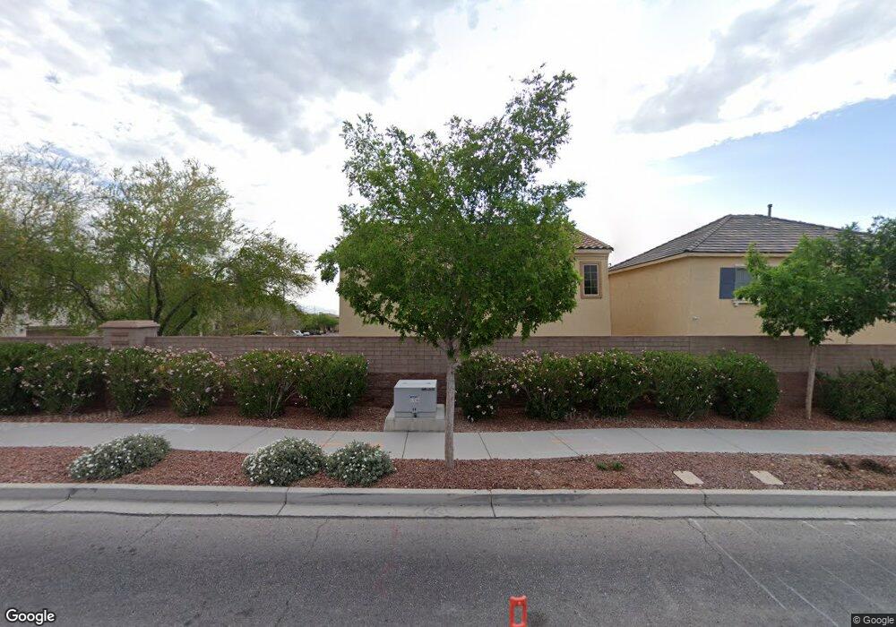
7932 Bartlett Peak St Las Vegas, NV 89166
La Madre Foothills NeighborhoodEstimated Value: $432,000 - $437,553
4
Beds
3
Baths
1,896
Sq Ft
$229/Sq Ft
Est. Value
About This Home
This home is located at 7932 Bartlett Peak St, Las Vegas, NV 89166 and is currently estimated at $434,888, approximately $229 per square foot. 7932 Bartlett Peak St is a home with nearby schools including Henry & Evelyn Bozarth Elementary School, Edmundo "Eddie" Escobedo, Sr. Middle School, and Arbor View High School.
Ownership History
Date
Name
Owned For
Owner Type
Purchase Details
Closed on
Jun 2, 2015
Sold by
Grant George L
Bought by
Grant Georg and Grant Julia
Current Estimated Value
Purchase Details
Closed on
Jan 10, 2013
Sold by
Estancia Desert Llc
Bought by
Grant George L
Home Financials for this Owner
Home Financials are based on the most recent Mortgage that was taken out on this home.
Original Mortgage
$154,751
Interest Rate
3.37%
Mortgage Type
FHA
Create a Home Valuation Report for This Property
The Home Valuation Report is an in-depth analysis detailing your home's value as well as a comparison with similar homes in the area
Home Values in the Area
Average Home Value in this Area
Purchase History
| Date | Buyer | Sale Price | Title Company |
|---|---|---|---|
| Grant Georg | -- | None Available | |
| Grant George L | $160,403 | Nevada Title Las Vegas |
Source: Public Records
Mortgage History
| Date | Status | Borrower | Loan Amount |
|---|---|---|---|
| Previous Owner | Grant George L | $154,751 |
Source: Public Records
Tax History Compared to Growth
Tax History
| Year | Tax Paid | Tax Assessment Tax Assessment Total Assessment is a certain percentage of the fair market value that is determined by local assessors to be the total taxable value of land and additions on the property. | Land | Improvement |
|---|---|---|---|---|
| 2025 | $2,838 | $128,413 | $30,800 | $97,613 |
| 2024 | $2,756 | $128,413 | $30,800 | $97,613 |
| 2023 | $1,924 | $125,960 | $34,300 | $91,660 |
| 2022 | $2,676 | $110,749 | $27,300 | $83,449 |
| 2021 | $2,478 | $104,979 | $25,900 | $79,079 |
| 2020 | $2,298 | $102,548 | $24,500 | $78,048 |
| 2019 | $2,154 | $97,656 | $21,350 | $76,306 |
| 2018 | $2,055 | $83,524 | $18,550 | $64,974 |
| 2017 | $2,584 | $78,365 | $16,100 | $62,265 |
| 2016 | $1,924 | $65,622 | $12,600 | $53,022 |
| 2015 | $1,883 | $55,285 | $10,500 | $44,785 |
| 2014 | $1,828 | $7,000 | $7,000 | $0 |
Source: Public Records
Map
Nearby Homes
- 10612 Capitol Peak Ave
- 7919 Bartlett Peak St
- 10537 Thor Mountain Ln
- 10663 Sariah Skye Ave
- 10643 Sariah Skye Ave
- 8036 Foxfield Springs St
- 7815 Shingle Beach St
- 7823 Granite City Ct
- 7851 Torreys Peak St
- 7745 Donner Peak St
- 10523 Laurel Mountain Ln
- 8043 Tank Loop St
- 10825 Beach House Ave
- 10431 Prairie Mountain Ave
- 8123 Skye Chalet St
- 10664 Mount Jefferson Ave
- 8138 Skye Dragon St
- 10834 Hunters Green Ave
- 10847 Iona Island Ave
- 8168 Desert Madera St
- 7928 Bartlett Peak St
- 10625 Capitol Peak Ave
- 7924 Bartlett Peak St
- 10648 Capitol Peak Ave
- 10656 Capitol Peak Ave
- 10621 Capitol Peak Ave
- 7931 Bartlett Peak St
- 7927 Bartlett Peak St
- 10628 Derby Peak Ln
- 10640 Capitol Peak Ave
- 10660 Capitol Peak Ave
- 10624 Derby Peak Ln
- 7920 Bartlett Peak St
- 7923 Bartlett Peak St
- 10617 Capitol Peak Ave
- 10620 Derby Peak Ln
- 10620 Derby Peak Ln
- 10620 Derby Peak Ln
- 10664 Capitol Peak Ave
- 10632 Capitol Peak Ave