79332 Stewart Creek Rd Clatskanie, OR 97016
Estimated Value: $437,000 - $492,868
3
Beds
2
Baths
1,836
Sq Ft
$253/Sq Ft
Est. Value
About This Home
This home is located at 79332 Stewart Creek Rd, Clatskanie, OR 97016 and is currently estimated at $464,934, approximately $253 per square foot. 79332 Stewart Creek Rd is a home located in Columbia County with nearby schools including Clatskanie Elementary School and Clatskanie Middle/High School.
Ownership History
Date
Name
Owned For
Owner Type
Purchase Details
Closed on
Mar 11, 2004
Sold by
Mills Jeff P and Mills Lisa M
Bought by
Krotzer Wayne Matthew and Krotzer Rachel
Current Estimated Value
Home Financials for this Owner
Home Financials are based on the most recent Mortgage that was taken out on this home.
Original Mortgage
$140,400
Outstanding Balance
$64,519
Interest Rate
5.65%
Mortgage Type
Unknown
Estimated Equity
$400,415
Create a Home Valuation Report for This Property
The Home Valuation Report is an in-depth analysis detailing your home's value as well as a comparison with similar homes in the area
Home Values in the Area
Average Home Value in this Area
Purchase History
| Date | Buyer | Sale Price | Title Company |
|---|---|---|---|
| Krotzer Wayne Matthew | $175,500 | Ticor Title |
Source: Public Records
Mortgage History
| Date | Status | Borrower | Loan Amount |
|---|---|---|---|
| Open | Krotzer Wayne Matthew | $140,400 | |
| Closed | Krotzer Wayne Matthew | $26,325 |
Source: Public Records
Tax History Compared to Growth
Tax History
| Year | Tax Paid | Tax Assessment Tax Assessment Total Assessment is a certain percentage of the fair market value that is determined by local assessors to be the total taxable value of land and additions on the property. | Land | Improvement |
|---|---|---|---|---|
| 2025 | $2,963 | $250,070 | $138,350 | $111,720 |
| 2024 | $2,862 | $242,790 | $134,320 | $108,470 |
| 2023 | $2,849 | $235,720 | $144,810 | $90,910 |
| 2022 | $2,729 | $228,860 | $140,480 | $88,380 |
| 2021 | $2,655 | $222,200 | $115,360 | $106,840 |
| 2020 | $2,621 | $215,730 | $125,360 | $90,370 |
| 2019 | $2,561 | $209,450 | $116,250 | $93,200 |
| 2018 | $2,469 | $203,350 | $98,180 | $105,170 |
| 2017 | $2,469 | $197,430 | $95,320 | $102,110 |
| 2016 | $2,400 | $191,680 | $92,550 | $99,130 |
| 2015 | $2,327 | $186,100 | $83,890 | $102,210 |
| 2014 | $2,089 | $167,400 | $79,470 | $87,930 |
Source: Public Records
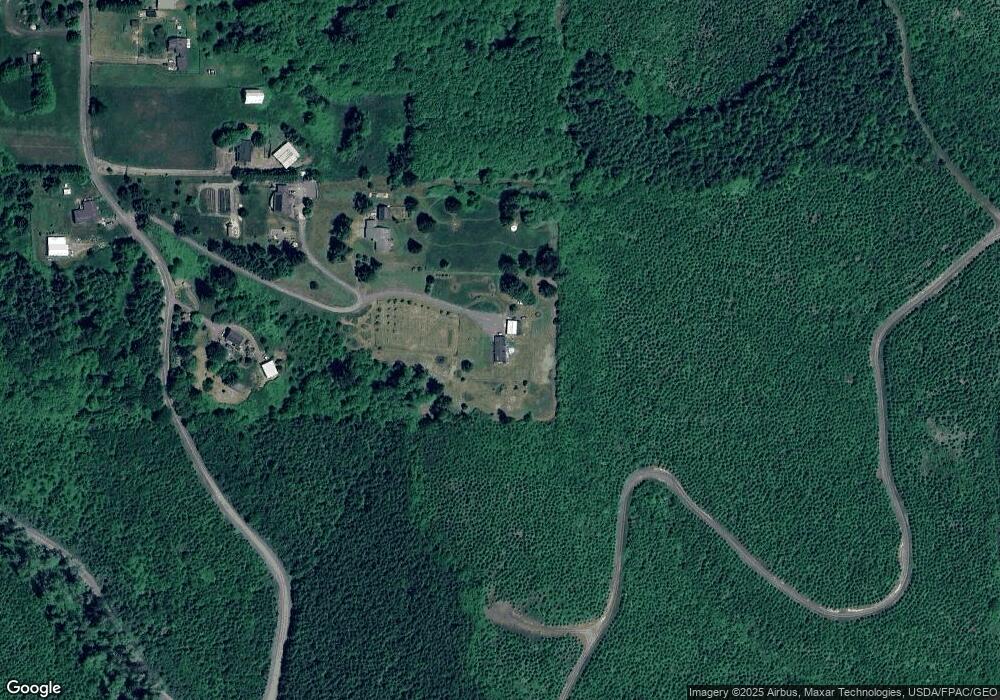
Map
Nearby Homes
- 0 Bodine Rd
- 20599 Ilmari Rd
- 0 Beaver Falls Rd Unit 721211834
- 76171 Delena Mayger Rd
- 22161 Lindberg Rd
- 24853 Warren Rd
- 0 Lindberg Rd
- 266 Columbia Point Rd
- 0 Columbia River Hwy Unit 333380547
- 75401 Clatskanie Valley Dr
- 6238 Willow Grove Rd
- 145 Newt Estates Rd
- 205 Newt Estates Rd
- 205 W Newt Estates Rd
- 151 Barlow Point Rd
- 0 Barlow Point Rd Unit 11556216
- 7002 Ocean Beach Hwy
- 75883 Price Rd Unit 29
- 831 Virginia Cir
- 549 Diebert Rd
- 79330 Stewart Creek Rd
- 79336 Stewart Creek Rd
- 79338 Stewart Creek Rd
- 79372 Stewart Creek Rd
- 79353 Stewart Creek Rd
- 79398 Stewart Creek Rd
- 79475 Stewart Creek Rd
- 79650 Stewart Creek Rd
- 79618 Stewart Creek Rd
- 79405 Stewart Creek Rd
- 79515 Stewart Creek Rd Unit 79
- 79579 Stewart Creek Rd
- 79712 Stewart Creek Rd
- 79749 Stewart Creek Rd
- 79768 Stewart Creek Rd
- 79774 Stewart Creek Rd
- 79795 Stewart Creek Rd
- 79800 Stewart Creek Rd
- 79809 Stewart Creek Rd
- 79274 Wirkkala Rd