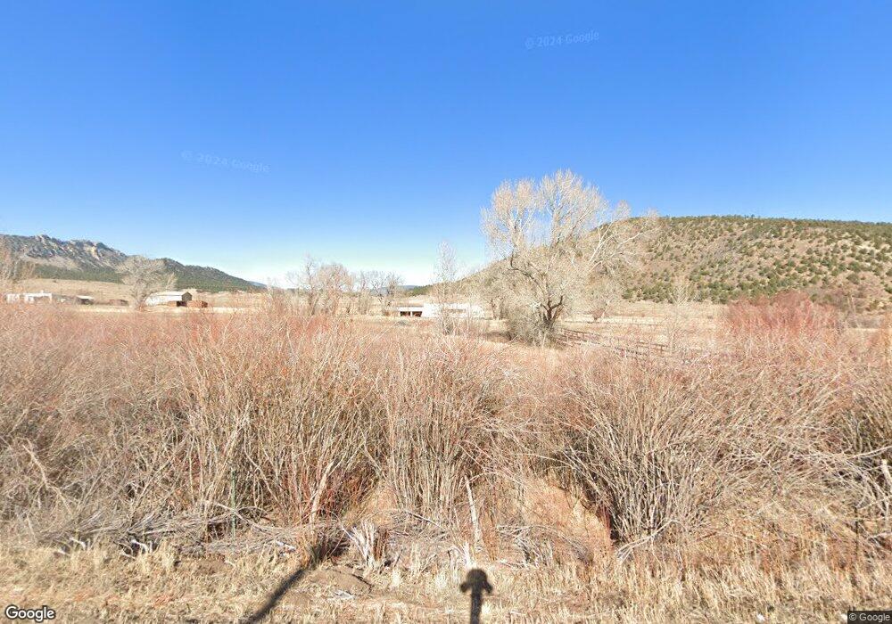
7935 Highway 12 Trinidad, CO 81082
Estimated Value: $362,000 - $566,000
2
Beds
1
Bath
2,122
Sq Ft
$219/Sq Ft
Est. Value
About This Home
This home is located at 7935 Highway 12, Trinidad, CO 81082 and is currently estimated at $464,000, approximately $218 per square foot. 7935 Highway 12 is a home with nearby schools including Fisher's Peak Elementary School, Trinidad Middle School, and Trinidad High School.
Ownership History
Date
Name
Owned For
Owner Type
Purchase Details
Closed on
Dec 21, 2011
Sold by
Amato Louis J
Bought by
Amato Joe and Willis Gina Marie
Current Estimated Value
Purchase Details
Closed on
Sep 9, 2011
Sold by
Amato Carl
Bought by
Amato Louis
Purchase Details
Closed on
Sep 1, 2011
Sold by
Amato Louis J and Estate Of Marie Louise Amato
Bought by
Amato Louis
Purchase Details
Closed on
Aug 31, 2011
Sold by
Amato Sam
Bought by
Amato Louis
Create a Home Valuation Report for This Property
The Home Valuation Report is an in-depth analysis detailing your home's value as well as a comparison with similar homes in the area
Home Values in the Area
Average Home Value in this Area
Purchase History
| Date | Buyer | Sale Price | Title Company |
|---|---|---|---|
| Amato Joe | -- | None Available | |
| Amato Louis | -- | None Available | |
| Amato Louis | -- | None Available | |
| Amato Louis | -- | None Available |
Source: Public Records
Tax History Compared to Growth
Tax History
| Year | Tax Paid | Tax Assessment Tax Assessment Total Assessment is a certain percentage of the fair market value that is determined by local assessors to be the total taxable value of land and additions on the property. | Land | Improvement |
|---|---|---|---|---|
| 2025 | $175 | $11,040 | $200 | $10,840 |
| 2024 | $175 | $8,670 | $200 | $8,470 |
| 2023 | $175 | $4,760 | $110 | $4,650 |
| 2022 | $139 | $4,590 | $210 | $4,380 |
| 2021 | $168 | $4,720 | $220 | $4,500 |
| 2020 | $158 | $4,720 | $220 | $4,500 |
| 2019 | $1 | $4,720 | $220 | $4,500 |
| 2018 | $141 | $4,760 | $220 | $4,540 |
| 2017 | $141 | $4,760 | $0 | $0 |
| 2015 | $131 | $5,256 | $0 | $0 |
| 2013 | $151 | $5,256 | $242 | $5,014 |
Source: Public Records
Map
Nearby Homes
- 2664 Espinoza St
- 2655 Delagua St
- 2644 Barela St
- 406 Riata Dr
- TBD County Rd 93 9
- 421 Memory Ln
- 232 Saddle Rd
- 107 Radio Dr
- TBD Santa fe Trail
- 1106 Alamo St
- 1002 Imperial St
- 1216 (?) Carbon Ave
- TBD W Jefferson St
- 0 W Jefferson St
- 11771 Diamond View
- 704 W Jefferson St
- 1008 Grant Ave
- 809 S Maple St
- 723 W Jefferson St
- 502 W Washington Ave
- 2615 Desperado Dr
- 2613 Desperado Dr
- 236 Garcia St
- 2676 Espinoza St
- 2614 Desperado Dr
- 2611 Desperado Dr
- 2612 Desperado Dr
- 2672 Espinoza St
- 2610 Desperado Dr
- 2609 Desperado Dr
- 2668 Espinoza St
- 220 Garcia St
- 234 Garcia St
- 239 Garcia St
- 2608 Desperado Dr
- 2806 Desperado Dr
- tbd Moores Canyon Rd
- tbd Moores Canyon Rd
- 2704 Desperado Dr
- 2607 Desperado Dr