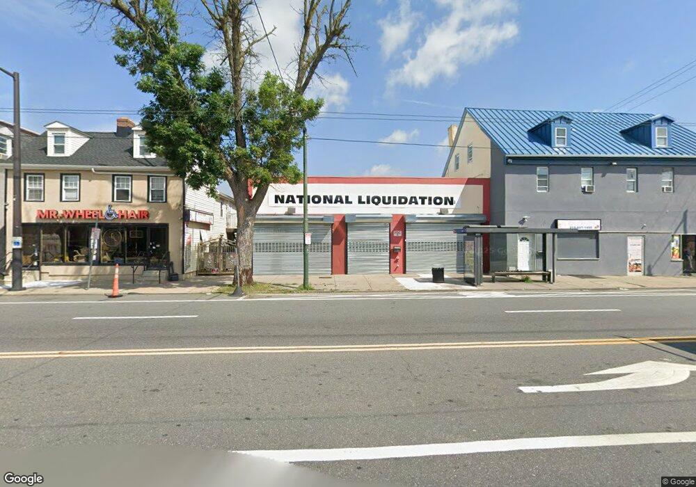
7938-40 Frankford Ave Philadelphia, PA 19136
Mayfair NeighborhoodEstimated Value: $669,000 - $1,033,791
--
Bed
--
Bath
11,064
Sq Ft
$77/Sq Ft
Est. Value
About This Home
This home is located at 7938-40 Frankford Ave, Philadelphia, PA 19136 and is currently estimated at $851,396, approximately $76 per square foot. 7938-40 Frankford Ave is a home located in Philadelphia County with nearby schools including Lincoln High School, Meehan Austin Middle School, and New Foundations Charter School.
Ownership History
Date
Name
Owned For
Owner Type
Purchase Details
Closed on
Apr 11, 2016
Sold by
Wells Fargo Bank Na
Bought by
7936 Frankford Properties Llc
Current Estimated Value
Purchase Details
Closed on
Mar 11, 2015
Sold by
Kaplan Colman
Bought by
Wells Fargo Bank Na
Purchase Details
Closed on
Apr 4, 1972
Bought by
Colman Kaplan
Create a Home Valuation Report for This Property
The Home Valuation Report is an in-depth analysis detailing your home's value as well as a comparison with similar homes in the area
Home Values in the Area
Average Home Value in this Area
Purchase History
| Date | Buyer | Sale Price | Title Company |
|---|---|---|---|
| 7936 Frankford Properties Llc | $325,000 | None Available | |
| Wells Fargo Bank Na | $75,200 | None Available | |
| Colman Kaplan | $100,000 | -- |
Source: Public Records
Tax History Compared to Growth
Tax History
| Year | Tax Paid | Tax Assessment Tax Assessment Total Assessment is a certain percentage of the fair market value that is determined by local assessors to be the total taxable value of land and additions on the property. | Land | Improvement |
|---|---|---|---|---|
| 2026 | $7,534 | $774,500 | $154,900 | $619,600 |
| 2025 | $7,534 | $774,500 | $154,900 | $619,600 |
| 2024 | $7,534 | $774,500 | $154,900 | $619,600 |
| 2023 | $7,534 | $538,200 | $107,649 | $430,551 |
| 2022 | $7,100 | $538,200 | $107,649 | $430,551 |
| 2021 | $7,100 | $0 | $0 | $0 |
| 2020 | $7,100 | $0 | $0 | $0 |
| 2019 | $7,048 | $0 | $0 | $0 |
| 2018 | $8,399 | $0 | $0 | $0 |
| 2017 | $17,036 | $0 | $0 | $0 |
| 2016 | $17,036 | $0 | $0 | $0 |
| 2015 | -- | $0 | $0 | $0 |
| 2014 | -- | $1,217,000 | $195,739 | $1,021,261 |
Source: Public Records
Map
Nearby Homes
- 4016 Decatur St
- 3438 Decatur St
- 8056 Erdrick St
- 4228 Rhawn St
- 4203 Hartel Ave
- 8072 Erdrick St
- 4128 Welsh Rd
- 8011 Crispin St
- 4243 Frost St
- 3526 Welsh Rd
- 4246 Rhawn St
- 4228 Hartel Ave
- 3414 Hartel Ave
- 3556 Meridian St
- 4314 Rhawn St
- 3405 Sheffield St
- 4224 Chippendale Ave
- 4243 Chippendale St
- 3528 Chippendale Ave
- 4301 Chippendale Ave
- 7938 Frankford Ave
- 7938 40 Frankford Ave
- 7942 Frankford Ave
- 3628 Rhawn St
- 7934 Frankford Ave
- 7932 Frankford Ave
- 7930 Frankford Ave
- 7930 Frankford Ave Unit B
- 7930 Frankford Ave Unit A
- 7930 UNIT B Frankford Ave
- 7930 UNIT A Frankford Ave
- 7932-7934 Frankford Ave
- 7926 Frankford Ave Unit 1R
- 7926 Frankford Ave Unit R
- 7920-22 Frankford Ave
- 7920 Frankford Ave
- 3600 Rhawn St
- 7923 Craig St
- 7927 Craig St
- 3613 Rhawn St