7939 E Us Highway 10 Branch, MI 49402
Estimated Value: $102,000 - $307,000
About This Home
This home is located at 7939 E Us Highway 10, Branch, MI 49402 and is currently estimated at $205,642. 7939 E Us Highway 10 is a home located in Mason County with nearby schools including Scottville Elementary School, Mason County Central Upper Elementary School, and Mason County Central Middle School.
Ownership History
We collect this data history from publicly available records. To have your information removed, we recommend requesting removal directly through your county’s website.
Purchase Details
Home Financials for this Owner
Home Financials are based on the most recent Mortgage that was taken out on this home.Purchase Details
Purchase Details
Purchase History
We collect this data history from publicly available records. To have your information removed, we recommend requesting removal directly through your county’s website.
| Date | Buyer | Sale Price | Title Company |
|---|---|---|---|
| $31,250 | None Available | ||
| -- | None Available | ||
| $63,000 | -- |
Mortgage History
We collect this data history from publicly available records. To have your information removed, we recommend requesting removal directly through your county’s website.
| Date | Status | Borrower | Loan Amount |
|---|---|---|---|
| Open | $24,000 |
Tax History
We collect this data history from publicly available records. To have your information removed, we recommend requesting removal directly through your county’s website.
| Year | Tax Paid | Tax Assessment Tax Assessment Total Assessment is a certain percentage of the fair market value that is determined by local assessors to be the total taxable value of land and additions on the property. | Land | Improvement |
|---|---|---|---|---|
| 2025 | $1,635 | $66,400 | $66,400 | $0 |
| 2024 | -- | $61,300 | $61,300 | $0 |
| 2023 | -- | $49,300 | $49,300 | $0 |
| 2022 | -- | $40,600 | $0 | $0 |
| 2021 | $2,626 | $37,800 | $0 | $0 |
| 2020 | $2,626 | $33,200 | $0 | $0 |
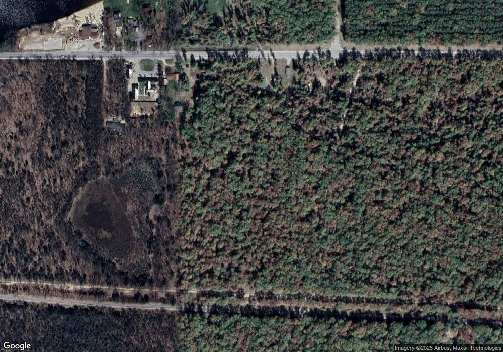
Map
- 7832 E US Highway 10
- 337 S Taylor Rd
- 7235 E Ridge Rd
- V/L E Sandra Kay Rd
- 7137 E Catherine Rd
- 27 N Campbell Rd
- 270 N Jack Pine Rd
- 7127 Wever Rd
- 520 N Campbell Rd
- 000 S Walhalla Rd
- 1430 S Walhalla Rd
- 9554 U S 10
- 7766 E Bradshaw Rd
- 441 N Benson Rd
- 665 N Benson Rd
- 1754 Maggie St
- 6668 E Annis Rd
- 00 S Shepperd Rd
- 2093 N Tallman Lake Rd
- 3077 S Tyndall Rd
- 00 V/L S Taylor Rd
- 8 S Taylor Rd
- 0 S Taylor Rd
- 5290 S Taylor Rd
- 1020 S Taylor Rd
- 7959 E Us Highway 10
- 7979 E Us Highway 10
- 7847 W Us Highway 10
- 7832 U S 10
- 7855 E Us Highway 10
- 7855 E Us Highway 10
- 7855 E Us Highway 10
- 5662 W Us Highway 10
- 5662 W Us Highway 10
- 7831 E Us Highway 10
- 7933 U S 10
- 7831 U S 10
- 7807 E Us Highway 10
- 7807 E Us Highway 10
- 7838 U S 10
Ask me questions while you tour the home.