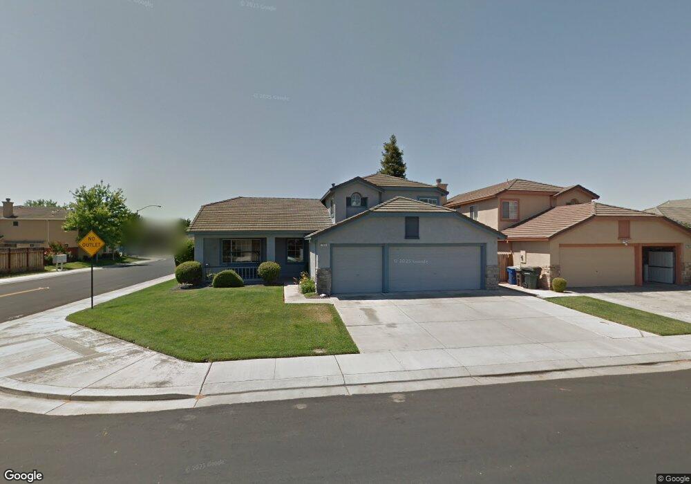
794 Clifford Dr Lathrop, CA 95330
East Lathrop NeighborhoodEstimated Value: $545,000 - $585,764
About This Home
This home is located at 794 Clifford Dr, Lathrop, CA 95330 and is currently estimated at $565,941, approximately $264 per square foot. 794 Clifford Dr is a home located in San Joaquin County with nearby schools including Joseph Widmer, Jr. Elementary School, Lathrop High School, and BE.TECH Charter High School.
Ownership History
We collect this data history from publicly available records. To have your information removed, we recommend requesting removal directly through your county’s website.
Purchase Details
Home Financials for this Owner
Home Financials are based on the most recent Mortgage that was taken out on this home.Home Values in the Area
Average Home Value in this Area
Purchase History
We collect this data history from publicly available records. To have your information removed, we recommend requesting removal directly through your county’s website.
| Date | Buyer | Sale Price | Title Company |
|---|---|---|---|
| $176,000 | Old Republic Title Company |
Mortgage History
We collect this data history from publicly available records. To have your information removed, we recommend requesting removal directly through your county’s website.
| Date | Status | Borrower | Loan Amount |
|---|---|---|---|
| Previous Owner | $87,950 |
Tax History
We collect this data history from publicly available records. To have your information removed, we recommend requesting removal directly through your county’s website.
| Year | Tax Paid | Tax Assessment Tax Assessment Total Assessment is a certain percentage of the fair market value that is determined by local assessors to be the total taxable value of land and additions on the property. | Land | Improvement |
|---|---|---|---|---|
| 2025 | $3,647 | $280,928 | $63,863 | $217,065 |
| 2024 | $3,590 | $275,420 | $62,611 | $212,809 |
| 2023 | $3,499 | $270,021 | $61,384 | $208,637 |
| 2022 | $3,452 | $264,728 | $60,181 | $204,547 |
| 2021 | $3,417 | $259,538 | $59,001 | $200,537 |
| 2020 | $3,296 | $256,878 | $58,397 | $198,481 |
| 2019 | $3,258 | $251,842 | $57,252 | $194,590 |
| 2018 | $3,219 | $246,905 | $56,130 | $190,775 |
| 2017 | $3,178 | $242,065 | $55,030 | $187,035 |
| 2016 | $3,111 | $237,320 | $53,952 | $183,368 |
| 2014 | $2,922 | $229,176 | $52,100 | $177,076 |
Map
- 14310 Cedar Valley Dr
- 813 Boulder Ave
- 13668 Autumnwood Ave
- 15055 Hollyhock Ct
- 162 Ravenwood Ct
- 20 Shilling Ave
- 15133 Ryhiner Ln
- 13468 Pipestone St
- 13410 Brookwood Way
- 13426 Basalt Ct
- 15460 5th St
- 53 Argillite Ave
- 116 Travertine Ave
- 13228 Christie Falls Way
- 260 Patricia Place
- 188 Thomsen Rd
- 15940 Warfield Rd
- 469 Orlando Ln
- 1691 Park St
- 15820 S Harlan Rd Unit 5
- 786 Clifford Dr
- 765 Kilarney Ct
- 800 Clifford Dr
- 757 Kilarney Ct
- 780 Clifford Dr
- 803 Kilarney Ct
- 749 Kilarney Ct
- 797 Clifford Dr
- 789 Clifford Dr
- 806 Clifford Dr
- 799 Clifford Dr
- 783 Clifford Dr
- 770 Clifford Dr
- 809 Kilarney Ct
- 803 Clifford Dr
- 777 Clifford Dr
- 741 Kilarney Ct
- 812 Clifford Dr
- 14430 Pine Valley Dr
- 813 Kilarney Ct
Ask me questions while you tour the home.