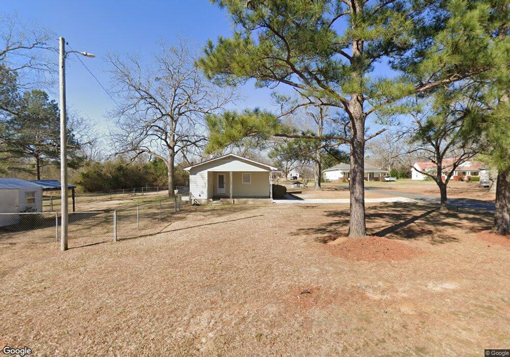
794 Elm St East Dublin, GA 31027
Estimated Value: $89,492 - $137,000
--
Bed
2
Baths
1,176
Sq Ft
$104/Sq Ft
Est. Value
About This Home
This home is located at 794 Elm St, East Dublin, GA 31027 and is currently estimated at $121,873, approximately $103 per square foot. 794 Elm St is a home located in Laurens County with nearby schools including Northwest Laurens Elementary School, Southwest Laurens Elementary School, and East Laurens Primary School.
Ownership History
Date
Name
Owned For
Owner Type
Purchase Details
Closed on
Jul 10, 2006
Sold by
Bailey Michael R
Bought by
Dalton Casey D
Current Estimated Value
Home Financials for this Owner
Home Financials are based on the most recent Mortgage that was taken out on this home.
Original Mortgage
$62,000
Outstanding Balance
$36,584
Interest Rate
6.54%
Mortgage Type
New Conventional
Estimated Equity
$85,289
Purchase Details
Closed on
Sep 9, 1994
Bought by
Bailey Michael R and Bailey J
Create a Home Valuation Report for This Property
The Home Valuation Report is an in-depth analysis detailing your home's value as well as a comparison with similar homes in the area
Home Values in the Area
Average Home Value in this Area
Purchase History
| Date | Buyer | Sale Price | Title Company |
|---|---|---|---|
| Dalton Casey D | $62,000 | -- | |
| Bailey Michael R | -- | -- |
Source: Public Records
Mortgage History
| Date | Status | Borrower | Loan Amount |
|---|---|---|---|
| Open | Dalton Casey D | $62,000 |
Source: Public Records
Tax History Compared to Growth
Tax History
| Year | Tax Paid | Tax Assessment Tax Assessment Total Assessment is a certain percentage of the fair market value that is determined by local assessors to be the total taxable value of land and additions on the property. | Land | Improvement |
|---|---|---|---|---|
| 2024 | $519 | $26,666 | $1,500 | $25,166 |
| 2023 | $489 | $25,011 | $1,500 | $23,511 |
| 2022 | $538 | $24,968 | $1,457 | $23,511 |
| 2021 | $546 | $24,753 | $1,440 | $23,313 |
| 2020 | $547 | $24,753 | $1,440 | $23,313 |
| 2019 | $547 | $24,753 | $1,440 | $23,313 |
| 2018 | $548 | $24,753 | $1,440 | $23,313 |
| 2017 | $547 | $24,753 | $1,440 | $23,313 |
| 2016 | $548 | $24,753 | $1,440 | $23,313 |
| 2015 | $548 | $24,753 | $1,440 | $23,313 |
| 2014 | $484 | $21,375 | $1,340 | $20,035 |
Source: Public Records
Map
Nearby Homes
- 1 Stone Church Rd
- 0 Stone Church Rd Unit 10598795
- 1354 Lakeway Rd
- 0 Snellbridge Rd Unit 30130
- 00 Snellbridge Rd
- 0 Snellbridge Rd Unit 10569491
- 0 Snellbridge Rd Unit 10569490
- 1739 Snellbridge Rd
- 3.5 ACRES Brewton Lovett Rd
- 0 Hwy 319 Unit 24360437
- 0 Old Carter Rd
- 1061 S Lake Dr
- 117 Lovett Scott Rd
- 847 W Lake Dr
- 868 S Lake Dr
- 896 S Lake Dr
- 833 Cullens Rd
- 7728 Georgia 15
- 0 Tucker Grove Church Rd Unit 243840
- 0 Tucker Grove Church Rd Unit 28000
- 811 Dallas Stewart Rd
- 796 Elm St
- 802 Elm St
- 806 Elm St
- 809 Louie Veal Rd
- 800 Elm St
- 808 Elm St
- 1879 Brewton Lovett Rd
- 801 Louie Veal Rd
- 817 Louie Veal Rd
- 1627 Lovett Rd
- 1582 Cathy Skipper Rd
- 1615 Lovett Rd
- 820 Elm St
- 1708 Blueberry Ln
- 1724 Blueberry Ln
- 1934 Brewton Lovett Rd
- 1926 Brewton Lovett Rd
- 1833 Brewton Lovett Rd
- 1709 Blueberry Ln Unit Lot 2 and 15