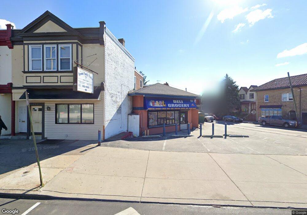
794 Garrett Rd Upper Darby, PA 19082
Estimated Value: $121,829
Studio
--
Bath
970
Sq Ft
$126/Sq Ft
Est. Value
About This Home
This home is located at 794 Garrett Rd, Upper Darby, PA 19082 and is currently estimated at $121,829, approximately $125 per square foot. 794 Garrett Rd is a home located in Delaware County with nearby schools including Bywood Elementary School, Upper Darby Kdg Center, and Upper Darby High School.
Ownership History
Date
Name
Owned For
Owner Type
Purchase Details
Closed on
Dec 21, 2009
Sold by
Milano Ray and Milano Crystal
Bought by
Blue Spider Enterprises Llc
Current Estimated Value
Purchase Details
Closed on
Jun 29, 2009
Sold by
Defruscio Mary Louise and Milano Joseph C
Bought by
Milano Ray and Milano Crystal
Purchase Details
Closed on
Jan 16, 1998
Sold by
Defruscio Mary Louise and Milano Joseph C
Bought by
Defruscio Mary Louis and Milano Joseph C
Create a Home Valuation Report for This Property
The Home Valuation Report is an in-depth analysis detailing your home's value as well as a comparison with similar homes in the area
Home Values in the Area
Average Home Value in this Area
Purchase History
We collect this data history from publicly available records. To have your information removed, we recommend requesting removal directly through your county’s website.
| Date | Buyer | Sale Price | Title Company |
|---|---|---|---|
| Blue Spider Enterprises Llc | $70,000 | None Available | |
| Milano Ray | -- | None Available | |
| Defruscio Mary Louis | -- | -- |
Source: Public Records
Tax History
| Year | Tax Paid | Tax Assessment Tax Assessment Total Assessment is a certain percentage of the fair market value that is determined by local assessors to be the total taxable value of land and additions on the property. | Land | Improvement |
|---|---|---|---|---|
| 2025 | $4,238 | $100,210 | $65,650 | $34,560 |
| 2024 | $4,238 | $100,210 | $65,650 | $34,560 |
| 2023 | $4,198 | $100,210 | $65,650 | $34,560 |
| 2022 | $4,085 | $100,210 | $65,650 | $34,560 |
| 2021 | $5,508 | $100,210 | $65,650 | $34,560 |
| 2020 | $3,859 | $59,664 | $59,664 | $0 |
| 2019 | $3,792 | $59,664 | $59,664 | $0 |
| 2018 | $3,748 | $59,664 | $0 | $0 |
| 2017 | $3,651 | $59,664 | $0 | $0 |
| 2016 | $334 | $59,664 | $0 | $0 |
| 2015 | $334 | $59,664 | $0 | $0 |
| 2014 | $334 | $111,870 | $0 | $0 |
Source: Public Records
Map
Nearby Homes
- 792 Garrett Rd
- 792 Garrett Rd Unit FIRST FLOOR
- 790 Garrett Rd
- 790 Garrett Rd Unit 2
- 780 Garrett Rd
- 772 Garrett Rd
- 0 Garrett Rd Unit E-201 PADE2099986
- 0 Garrett Rd Unit E-101 PADE2099982
- 0 Garrett Rd Unit F-101
- 386 Avon Rd
- 382 Avon Rd
- 380 Avon Rd
- 378 Avon Rd
- 374 Avon Rd
- 800 Garrett Rd
- 392 Avon Rd Unit 2
- 384 Avon Rd
- 802 Garrett Rd
- 778 Garrett Rd
- 786 Garrett Rd
Your Personal Tour Guide
Ask me questions while you tour the home.