794 Mark Ave Des Plaines, IL 60016
Estimated Value: $432,000 - $481,000
4
Beds
2
Baths
1,623
Sq Ft
$281/Sq Ft
Est. Value
About This Home
This home is located at 794 Mark Ave, Des Plaines, IL 60016 and is currently estimated at $456,739, approximately $281 per square foot. 794 Mark Ave is a home located in Cook County with nearby schools including Indian Grove Elementary School, River Trails Middle School, and Maine West High School.
Ownership History
Date
Name
Owned For
Owner Type
Purchase Details
Closed on
Dec 15, 2004
Sold by
Kimbriel David R and Kimbriel Andrea L
Bought by
Kimbriel David R and Kimbriel Andrea L
Current Estimated Value
Purchase Details
Closed on
Mar 28, 2003
Sold by
Desalvo Suzette R
Bought by
Kimbriel David R and Feld Andrea L
Home Financials for this Owner
Home Financials are based on the most recent Mortgage that was taken out on this home.
Original Mortgage
$170,000
Interest Rate
5.71%
Mortgage Type
Stand Alone First
Create a Home Valuation Report for This Property
The Home Valuation Report is an in-depth analysis detailing your home's value as well as a comparison with similar homes in the area
Home Values in the Area
Average Home Value in this Area
Purchase History
| Date | Buyer | Sale Price | Title Company |
|---|---|---|---|
| Kimbriel David R | -- | -- | |
| Kimbriel David R | $320,000 | Agtf Inc | |
| Kimbriel David R | $320,000 | Agtf Inc |
Source: Public Records
Mortgage History
| Date | Status | Borrower | Loan Amount |
|---|---|---|---|
| Previous Owner | Kimbriel David R | $170,000 |
Source: Public Records
Tax History
| Year | Tax Paid | Tax Assessment Tax Assessment Total Assessment is a certain percentage of the fair market value that is determined by local assessors to be the total taxable value of land and additions on the property. | Land | Improvement |
|---|---|---|---|---|
| 2025 | $7,940 | $42,001 | $10,994 | $31,007 |
| 2024 | $7,940 | $34,000 | $9,423 | $24,577 |
| 2023 | $7,563 | $34,000 | $9,423 | $24,577 |
| 2022 | $7,563 | $34,000 | $9,423 | $24,577 |
| 2021 | $7,059 | $28,136 | $6,020 | $22,116 |
| 2020 | $7,016 | $28,136 | $6,020 | $22,116 |
| 2019 | $7,012 | $31,367 | $6,020 | $25,347 |
| 2018 | $7,226 | $29,975 | $5,235 | $24,740 |
| 2017 | $7,122 | $29,975 | $5,235 | $24,740 |
| 2016 | $7,205 | $29,975 | $5,235 | $24,740 |
| 2015 | $7,272 | $26,426 | $4,449 | $21,977 |
| 2014 | $7,158 | $26,426 | $4,449 | $21,977 |
| 2013 | $6,983 | $26,426 | $4,449 | $21,977 |
Source: Public Records
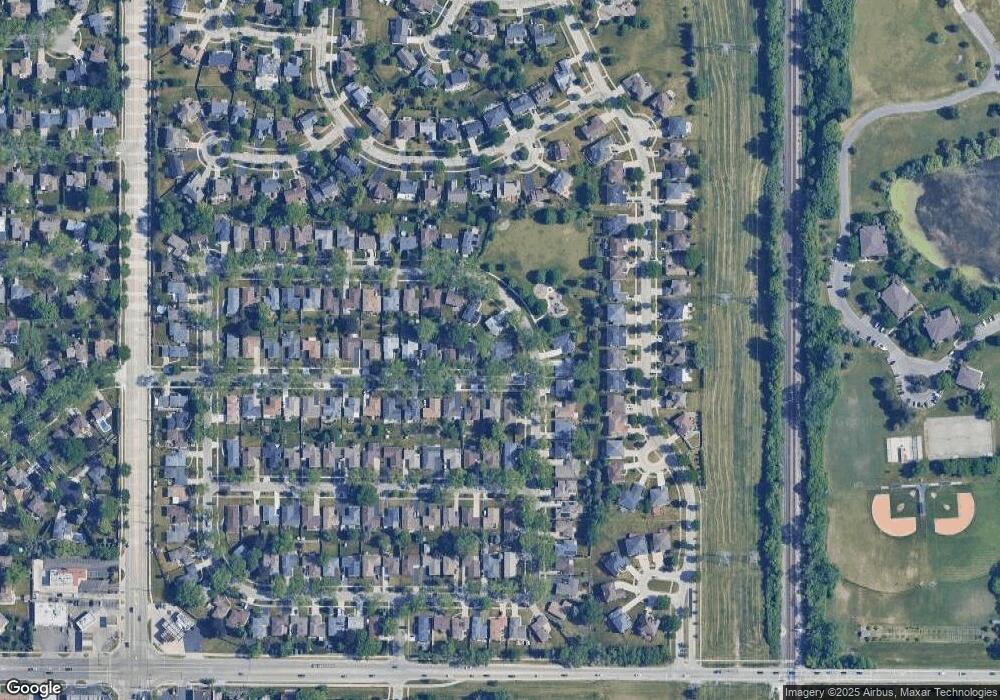
Map
Nearby Homes
- 793 Timothy Ln
- 404 Tracy Terrace
- 381 N 4th Ave Unit B
- 221 N Graylynn Dr
- 488 Cornell Ave
- 576 Amherst Ave
- 1821 E Boulder Dr
- 955 Rand Rd
- 320 Cornell Ave
- 808 N River Rd Unit 1B
- 908 E Central Rd
- 173 Cornell Ave
- 926 S Golf Cul de Sac St
- 304 Amherst Ave
- 420 Radcliffe Ave
- 172 Cornell Ave
- 912 N Sumac Ln
- 1008 N Newberry Ln
- 1100 N Boxwood Dr Unit P4P5P6
- 212 N Louis St
- 785 Madelyn Dr
- 782 Mark Ave
- 781 Madelyn Dr
- 774 Mark Ave
- 900 Madelyn Dr Unit 2
- 791 Mark Ave
- 931 Madelyn Dr
- 923 Madelyn Dr
- 783 Mark Ave
- 773 Madelyn Dr Unit 2
- 915 Madelyn Dr
- 766 Mark Ave
- 773 Mark Ave Unit 2
- 909 Madelyn Dr Unit 2
- 765 Madelyn Dr
- 758 Mark Ave
- 765 Mark Ave
- 901 Madelyn Dr
- 886 Madelyn Dr
- 782 Therese Terrace