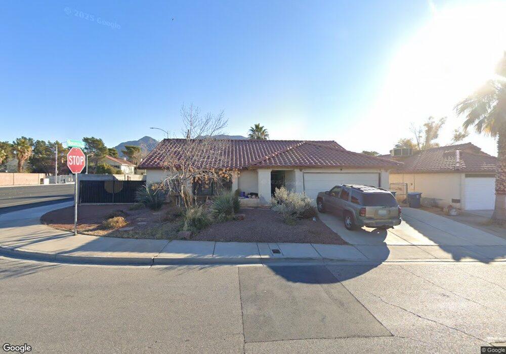
794 Memory Ln Las Vegas, NV 89110
Estimated Value: $408,000 - $449,000
3
Beds
2
Baths
1,576
Sq Ft
$270/Sq Ft
Est. Value
About This Home
This home is located at 794 Memory Ln, Las Vegas, NV 89110 and is currently estimated at $426,091, approximately $270 per square foot. 794 Memory Ln is a home located in Clark County with nearby schools including Richard J. Rundle Elementary School, Charlotte & Jerry Keller Elementary School, and Duane D. Keller Middle School.
Ownership History
Date
Name
Owned For
Owner Type
Purchase Details
Closed on
Apr 19, 2005
Sold by
Carter Charles E and Carter Dixie L
Bought by
Carter Charles E and Carter Dixie L
Current Estimated Value
Home Financials for this Owner
Home Financials are based on the most recent Mortgage that was taken out on this home.
Original Mortgage
$150,000
Interest Rate
5.84%
Mortgage Type
New Conventional
Purchase Details
Closed on
Jul 2, 2004
Sold by
Carter Charles E and Carter Dixie Lee
Bought by
Carter Charles E and Carter Dixie L
Create a Home Valuation Report for This Property
The Home Valuation Report is an in-depth analysis detailing your home's value as well as a comparison with similar homes in the area
Home Values in the Area
Average Home Value in this Area
Purchase History
| Date | Buyer | Sale Price | Title Company |
|---|---|---|---|
| Carter Charles E | -- | Land Title Of Nevada | |
| Carter Charles E | -- | -- |
Source: Public Records
Mortgage History
| Date | Status | Borrower | Loan Amount |
|---|---|---|---|
| Closed | Carter Charles E | $150,000 |
Source: Public Records
Tax History Compared to Growth
Tax History
| Year | Tax Paid | Tax Assessment Tax Assessment Total Assessment is a certain percentage of the fair market value that is determined by local assessors to be the total taxable value of land and additions on the property. | Land | Improvement |
|---|---|---|---|---|
| 2025 | $1,367 | $80,721 | $28,665 | $52,056 |
| 2024 | $1,328 | $80,721 | $28,665 | $52,056 |
| 2023 | $1,328 | $82,044 | $31,973 | $50,071 |
| 2022 | $1,289 | $71,704 | $25,358 | $46,346 |
| 2021 | $1,252 | $66,500 | $22,050 | $44,450 |
| 2020 | $1,212 | $66,591 | $22,050 | $44,541 |
| 2019 | $1,177 | $62,641 | $18,375 | $44,266 |
| 2018 | $1,156 | $59,116 | $16,170 | $42,946 |
| 2017 | $1,663 | $56,719 | $12,863 | $43,856 |
| 2016 | $1,083 | $50,274 | $8,453 | $41,821 |
| 2015 | $1,080 | $49,510 | $6,983 | $42,527 |
| 2014 | $1,048 | $39,852 | $4,778 | $35,074 |
Source: Public Records
Map
Nearby Homes
- 741 Round Table Dr
- 910 N Sloan Ln Unit 201
- 740 Santree Cir
- 5923 Halehaven Dr
- 5717 Christchurch Ave
- 6030 Halehaven Dr
- 563 Moon Chase St
- 730 N Christy Ln
- 0 Washington Unit 2360795
- 796 Ringwood Ln
- 656 N Christy Ln
- 5529 Cedar Ave
- 522 Wheaties Way
- 5802 Queenstown Way
- 6218 Sapporo Cir
- 5854 Heather Marie Dr
- 6235 Sapporo Cir
- 6209 Exquisite Ave
- 316 Linn Ln
- 5907 Zawawi Ct
- 786 Memory Ln
- 778 Memory Ln
- 770 Memory Ln
- 5816 Common Wealth Dr
- 5861 Brisbane Place
- 5851 Brisbane Place
- 762 Memory Ln Unit 5
- 5841 Brisbane Place
- 5810 Common Wealth Dr
- 5815 Common Wealth Dr
- 5831 Brisbane Place
- 754 Memory Ln
- 790 N Sloan Ln
- 5871 Brisbane Place
- 5809 Common Wealth Dr
- 5804 Common Wealth Dr
- 776 N Sloan Ln
- 749 Memory Ln
- 5821 Brisbane Place
- 5852 Brisbane Place