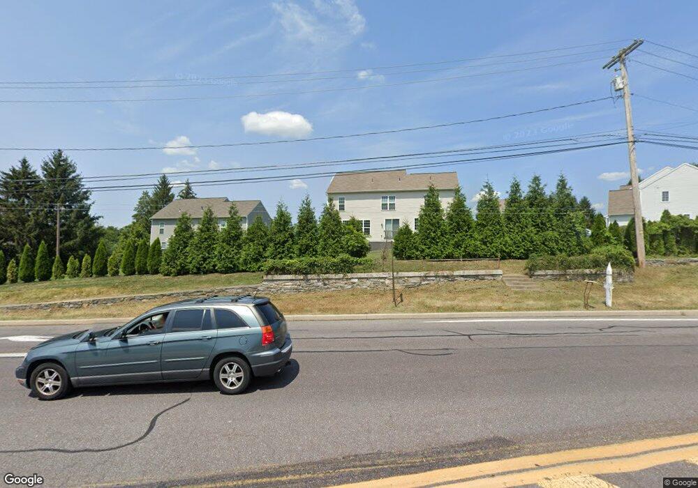
794 Middletown Rd Hummelstown, PA 17036
Estimated Value: $412,000 - $596,000
8
Beds
3
Baths
6,204
Sq Ft
$81/Sq Ft
Est. Value
About This Home
This home is located at 794 Middletown Rd, Hummelstown, PA 17036 and is currently estimated at $504,550, approximately $81 per square foot. 794 Middletown Rd is a home located in Dauphin County with nearby schools including Hershey Elementary School, Hershey Primary Elementary School, and Hershey Middle School.
Ownership History
Date
Name
Owned For
Owner Type
Purchase Details
Closed on
May 25, 2017
Sold by
Charter Homes At The Point Inc
Bought by
Tripathi Sanjay and Tripathi Neelam
Current Estimated Value
Home Financials for this Owner
Home Financials are based on the most recent Mortgage that was taken out on this home.
Original Mortgage
$324,000
Outstanding Balance
$269,298
Interest Rate
4.08%
Mortgage Type
New Conventional
Estimated Equity
$235,252
Purchase Details
Closed on
Feb 21, 2017
Sold by
Dsg Development Corp
Bought by
Charter Homes At The Point Inc
Home Financials for this Owner
Home Financials are based on the most recent Mortgage that was taken out on this home.
Original Mortgage
$8,000,000
Interest Rate
4.09%
Mortgage Type
Credit Line Revolving
Create a Home Valuation Report for This Property
The Home Valuation Report is an in-depth analysis detailing your home's value as well as a comparison with similar homes in the area
Home Values in the Area
Average Home Value in this Area
Purchase History
| Date | Buyer | Sale Price | Title Company |
|---|---|---|---|
| Tripathi Sanjay | $405,710 | None Available | |
| Charter Homes At The Point Inc | $130,000 | None Available |
Source: Public Records
Mortgage History
| Date | Status | Borrower | Loan Amount |
|---|---|---|---|
| Open | Tripathi Sanjay | $324,000 | |
| Previous Owner | Charter Homes At The Point Inc | $8,000,000 |
Source: Public Records
Tax History Compared to Growth
Tax History
| Year | Tax Paid | Tax Assessment Tax Assessment Total Assessment is a certain percentage of the fair market value that is determined by local assessors to be the total taxable value of land and additions on the property. | Land | Improvement |
|---|---|---|---|---|
| 2025 | $7,888 | $252,400 | $52,100 | $200,300 |
| 2024 | $7,414 | $252,400 | $52,100 | $200,300 |
| 2023 | $7,281 | $252,400 | $52,100 | $200,300 |
| 2022 | $7,120 | $252,400 | $52,100 | $200,300 |
| 2021 | $7,120 | $252,400 | $52,100 | $200,300 |
| 2020 | $7,120 | $252,400 | $52,100 | $200,300 |
| 2019 | $6,992 | $252,400 | $52,100 | $200,300 |
| 2018 | $6,806 | $252,400 | $52,100 | $200,300 |
| 2017 | $4,843 | $57,100 | $57,100 | $0 |
| 2016 | $0 | $179,600 | $57,100 | $122,500 |
| 2015 | -- | $179,600 | $57,100 | $122,500 |
| 2014 | -- | $179,600 | $57,100 | $122,500 |
Source: Public Records
Map
Nearby Homes
- 2039H Raleigh Rd
- 2017B Raleigh Rd
- 1919 Limestone Dr
- 1959 Deer Run Dr
- 2042 Locust Ln
- 497 Middletown Rd
- 610 Carrington Ct
- 1421 Jill Dr
- 1168 Cord Dr
- 589 Lovell Ct
- 1565 Brookline Dr
- 177 Middletown Rd
- 265 Redwood St
- 285 Dogwood Dr
- 1243 Peggy Dr
- 1155 Greenwood Dr
- 1203 Galway Ct
- 0 W Kaylor Rd
- 1165 Wicklow Ct
- 1412 Kaylor Rd
- 596 Stover Place
- 599 Stover Place
- 773 Creek Unit Drive
- 771 Creek Unit Drive
- Tract 1 Middletown Rd
- 559 Farmhouse Ln
- 563 Farmhouse Ln
- 758 Creek Unit Drive
- 567 Farmhouse Ln
- 547 Farmhouse Ln
- 606 Stover Ct
- 603 Stover Ct
- 571 Farmhouse Ln
- 674 Stover Ct
- 0 Stoverdale Rd
- 543 Farmhouse Ln
- 539 Farmhouse Ln
- 630 Stover Ct
- 611 Stover Ct
- 673 Stover Ct