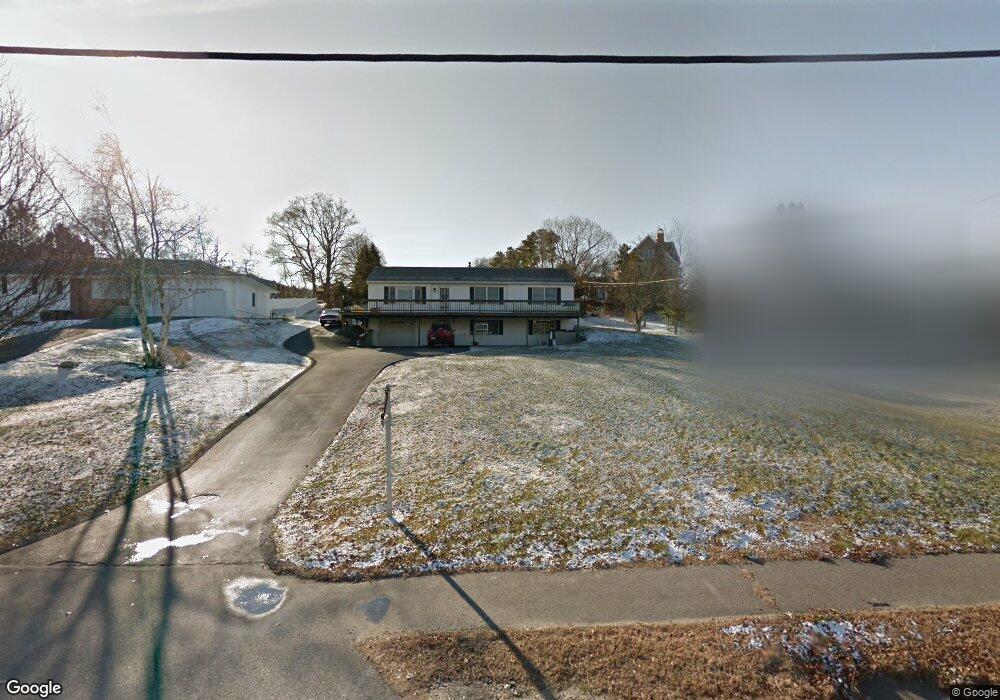
794 Sandwich Rd Bourne, MA 02532
Estimated Value: $609,000 - $615,000
4
Beds
4
Baths
2,120
Sq Ft
$289/Sq Ft
Est. Value
About This Home
This home is located at 794 Sandwich Rd, Bourne, MA 02532 and is currently estimated at $611,666, approximately $288 per square foot. 794 Sandwich Rd is a home located in Barnstable County with nearby schools including Bourne High School, Bridgeview Montessori School, and Waldorf School of Cape Cod.
Ownership History
Date
Name
Owned For
Owner Type
Purchase Details
Closed on
Apr 2, 2020
Sold by
Poore Edward D Est and Barbarti-Poore
Bought by
Munroe Shawn
Current Estimated Value
Purchase Details
Closed on
Feb 8, 2017
Sold by
Poore Edward D
Bought by
Barbati-Poore Dolores and Barbati-Poore Edward D
Purchase Details
Closed on
Oct 21, 1997
Sold by
Poore Clara R and Poore Edward
Bought by
Poore Edward D
Home Financials for this Owner
Home Financials are based on the most recent Mortgage that was taken out on this home.
Original Mortgage
$63,000
Interest Rate
7.46%
Mortgage Type
Commercial
Create a Home Valuation Report for This Property
The Home Valuation Report is an in-depth analysis detailing your home's value as well as a comparison with similar homes in the area
Purchase History
| Date | Buyer | Sale Price | Title Company |
|---|---|---|---|
| Munroe Shawn | $275,000 | None Available | |
| Munroe Shawn | $275,000 | None Available | |
| Barbati-Poore Dolores | -- | -- | |
| Barbati-Poore Dolores | -- | -- | |
| Poore Edward D | $80,000 | -- | |
| Poore Edward D | $80,000 | -- |
Source: Public Records
Mortgage History
| Date | Status | Borrower | Loan Amount |
|---|---|---|---|
| Previous Owner | Poore Edward D | $63,000 | |
| Previous Owner | Poore Edward D | $30,000 |
Source: Public Records
Tax History
| Year | Tax Paid | Tax Assessment Tax Assessment Total Assessment is a certain percentage of the fair market value that is determined by local assessors to be the total taxable value of land and additions on the property. | Land | Improvement |
|---|---|---|---|---|
| 2025 | $4,272 | $547,000 | $156,200 | $390,800 |
| 2024 | $4,365 | $544,300 | $167,400 | $376,900 |
| 2023 | $4,244 | $481,700 | $148,100 | $333,600 |
| 2022 | $3,994 | $395,800 | $131,100 | $264,700 |
| 2021 | $3,880 | $360,300 | $119,300 | $241,000 |
| 2020 | $3,693 | $343,900 | $118,200 | $225,700 |
| 2019 | $3,509 | $333,900 | $118,200 | $215,700 |
| 2018 | $3,244 | $307,800 | $112,600 | $195,200 |
| 2017 | $3,394 | $329,500 | $136,300 | $193,200 |
| 2016 | $3,301 | $324,900 | $136,300 | $188,600 |
| 2015 | $2,960 | $293,900 | $105,300 | $188,600 |
Source: Public Records
Map
Nearby Homes
- 8 Jillian Dr
- 896 Sandwich Rd
- 51 Commonwealth Ave
- 51 Commonwealth Ave
- 18 Gibbs Rd
- 4 Andrew Rd
- 6 Aspen Rd Unit 6
- 6 Aspen Rd
- 150 Herring Pond Rd
- 16 Ocean Pines Dr Unit B
- 0 State Rd
- 8 Driftwood Ln
- 7 Swamp Rd
- 24 Heather Hill Rd
- 5 Candlewood Dr
- 10 Tecumseh Rd
- 133 Phillips Rd
- 7 Bourne Ave
- 17 Ridgehill Ln
- 11 Village Green Dr Unit B
Your Personal Tour Guide
Ask me questions while you tour the home.