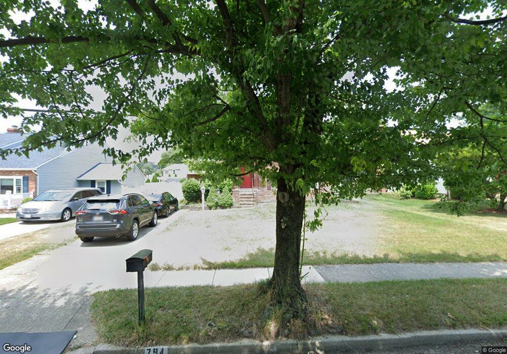
794 Stevenson Rd Severn, MD 21144
Estimated Value: $433,150 - $539,000
Studio
3
Baths
1,144
Sq Ft
$407/Sq Ft
Est. Value
About This Home
This home is located at 794 Stevenson Rd, Severn, MD 21144 and is currently estimated at $465,538, approximately $406 per square foot. 794 Stevenson Rd is a home located in Anne Arundel County with nearby schools including Oakwood Elementary School, Corkran Middle School, and Glen Burnie High School.
Ownership History
Date
Name
Owned For
Owner Type
Purchase Details
Closed on
Sep 27, 2022
Sold by
Weir David J
Bought by
Weir David J and Weir Imelda J
Current Estimated Value
Purchase Details
Closed on
Aug 27, 1999
Sold by
Bradt Robert D
Bought by
Weir David J
Purchase Details
Closed on
Nov 3, 1986
Sold by
Harris Jeffrey B
Bought by
Bradt Robert D
Home Financials for this Owner
Home Financials are based on the most recent Mortgage that was taken out on this home.
Original Mortgage
$85,000
Interest Rate
9.89%
Create a Home Valuation Report for This Property
The Home Valuation Report is an in-depth analysis detailing your home's value as well as a comparison with similar homes in the area
Home Values in the Area
Average Home Value in this Area
Purchase History
| Date | Buyer | Sale Price | Title Company |
|---|---|---|---|
| Weir David J | -- | Old Republic National Title | |
| Weir David J | $156,000 | -- | |
| Bradt Robert D | $99,900 | -- |
Source: Public Records
Mortgage History
| Date | Status | Borrower | Loan Amount |
|---|---|---|---|
| Previous Owner | Bradt Robert D | $85,000 | |
| Closed | Weir David J | -- |
Source: Public Records
Tax History
| Year | Tax Paid | Tax Assessment Tax Assessment Total Assessment is a certain percentage of the fair market value that is determined by local assessors to be the total taxable value of land and additions on the property. | Land | Improvement |
|---|---|---|---|---|
| 2025 | $3,116 | $361,700 | $167,400 | $194,300 |
| 2024 | $3,116 | $336,467 | $0 | $0 |
| 2023 | $3,009 | $311,233 | $0 | $0 |
| 2022 | $2,791 | $286,000 | $139,700 | $146,300 |
| 2020 | $2,653 | $269,533 | $0 | $0 |
| 2019 | $2,607 | $261,300 | $119,700 | $141,600 |
| 2018 | $2,634 | $259,800 | $0 | $0 |
| 2017 | $2,469 | $258,300 | $0 | $0 |
| 2016 | -- | $256,800 | $0 | $0 |
| 2015 | -- | $250,567 | $0 | $0 |
| 2014 | -- | $244,333 | $0 | $0 |
Source: Public Records
Map
Nearby Homes
- 793 Martin Ct W
- 414 Champion Ct
- 8005 Covington Ave
- 7940 Covington Ave
- 701 Snowdon Ln
- 8049 Veterans Hwy Unit 22
- 731 Stafford Hill Dr
- 7940 E Park Dr
- 879 Stevenson Rd
- 7826 Keenan Rd
- 602 Sprite Way
- 546 Dahlgreen Rd
- 8149 Silo Rd
- 513 Joy Cir
- 592 Glen Ct Unit 37D
- 528 Glen Ct
- 8116 Quarterfield Farms Dr
- 225 Jenkins Way
- 544 Glen Ct
- 7922 Crain Hwy S
- 796 Stevenson Rd
- 790 Stevenson Rd
- 795 Martin Ct W
- 797 Martin Ct W
- 788 Stevenson Rd
- 791 Martin Ct W
- 789 Martin Ct W
- 787 Stevenson Rd
- 793 Stevenson Rd
- 786 Stevenson Rd
- 799 Martin Ct W
- 787 Martin Ct W
- 785 Stevenson Rd
- 8127 Spaulding Cir
- 798 Martin Ct W
- 794 Martin Ct W
- 792 Martin Ct W
- 784 Stevenson Rd
- 796 Martin Ct W
- 8125 Spaulding Cir
Your Personal Tour Guide
Ask me questions while you tour the home.