7941 Fort Stokes Ln Easton, MD 21601
Estimated Value: $1,914,000 - $2,721,000
--
Bed
6
Baths
4,314
Sq Ft
$553/Sq Ft
Est. Value
About This Home
This home is located at 7941 Fort Stokes Ln, Easton, MD 21601 and is currently estimated at $2,385,272, approximately $552 per square foot. 7941 Fort Stokes Ln is a home located in Talbot County with nearby schools including St. Michaels Elementary School, St. Michaels Middle/High School, and Easton High School.
Ownership History
Date
Name
Owned For
Owner Type
Purchase Details
Closed on
Feb 16, 2007
Sold by
Hebb Walter M and Hebb Ruth W
Bought by
Shore John H and Shore Marcia R
Current Estimated Value
Purchase Details
Closed on
Feb 15, 2007
Sold by
Hebb Walter M and Hebb Ruth W
Bought by
Shore John H and Shore Marcia R
Purchase Details
Closed on
Aug 11, 2003
Sold by
Ratcliffe Farm Llc
Bought by
Hebb Walter M and Hebb Ruth W
Create a Home Valuation Report for This Property
The Home Valuation Report is an in-depth analysis detailing your home's value as well as a comparison with similar homes in the area
Home Values in the Area
Average Home Value in this Area
Purchase History
| Date | Buyer | Sale Price | Title Company |
|---|---|---|---|
| Shore John H | $2,100,000 | -- | |
| Shore John H | $2,100,000 | -- | |
| Hebb Walter M | $575,000 | -- |
Source: Public Records
Tax History Compared to Growth
Tax History
| Year | Tax Paid | Tax Assessment Tax Assessment Total Assessment is a certain percentage of the fair market value that is determined by local assessors to be the total taxable value of land and additions on the property. | Land | Improvement |
|---|---|---|---|---|
| 2025 | $11,219 | $1,731,733 | $0 | $0 |
| 2024 | $11,219 | $1,669,800 | $871,100 | $798,700 |
| 2023 | $10,544 | $1,669,800 | $871,100 | $798,700 |
| 2022 | $9,670 | $1,669,800 | $871,100 | $798,700 |
| 2021 | $9,042 | $1,677,000 | $908,600 | $768,400 |
| 2020 | $9,042 | $1,677,000 | $908,600 | $768,400 |
| 2019 | $9,042 | $1,677,000 | $908,600 | $768,400 |
| 2018 | $8,732 | $1,734,000 | $996,100 | $737,900 |
| 2017 | $8,194 | $1,706,300 | $0 | $0 |
| 2016 | $7,575 | $1,678,600 | $0 | $0 |
| 2015 | $6,684 | $1,650,900 | $0 | $0 |
| 2014 | $6,684 | $1,650,900 | $0 | $0 |
Source: Public Records
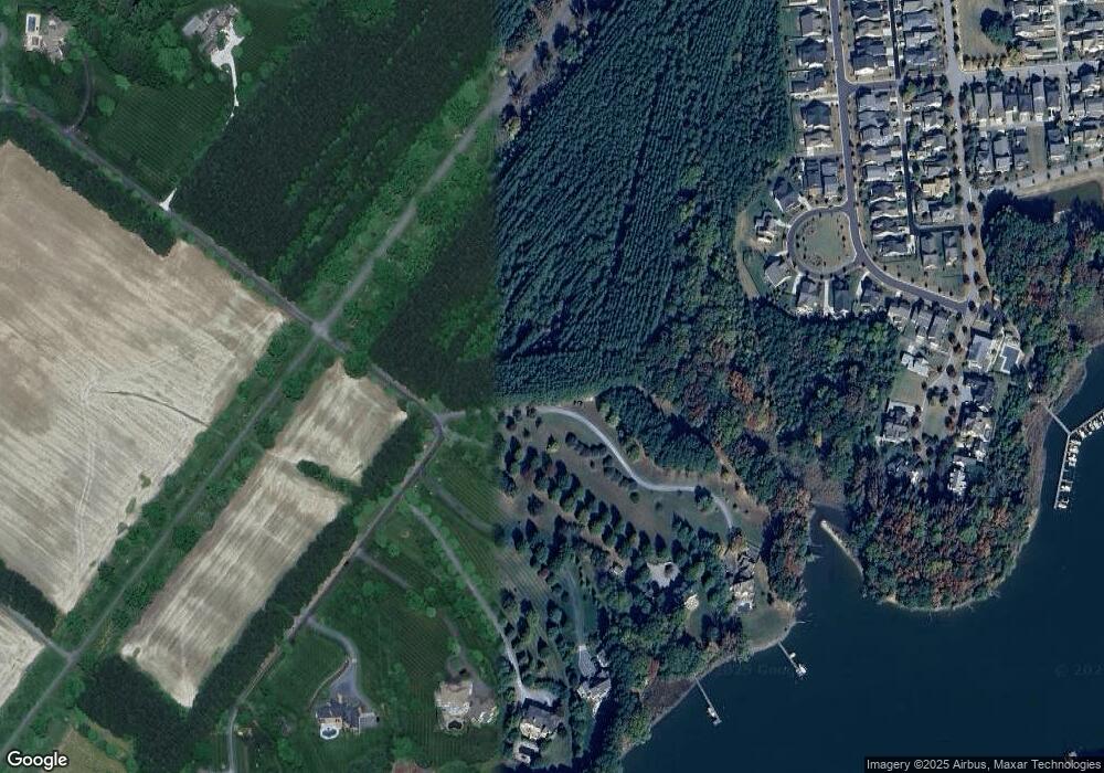
Map
Nearby Homes
- 7852 Woodland Cir
- 8061 N Fork Blvd
- 0 Lot 16 N Unit MDTA2012070
- 28298 Ayres Square
- 28522 Waterview Dr
- 28028 Playtor Rd
- 28477 Wedgeway Cir
- 28489 Wedgeway Cir
- 28496 Wedgeway Ct
- 28309 Village Lake Way
- 66 Johnson St
- 28520 Augusta Ct
- 304 Wheatley Dr
- 28417 Pinehurst Cir
- 202 Tubman Dr
- 227 Bethune Dr
- 28622 Clubhouse Dr
- 305 Port St
- 28642 Clubhouse Dr
- 27843 Saint Michaels Rd
- 7937 Fort Stokes Ln
- 7929 Fort Stokes Ln
- 7934 Maiden Point Ct
- 7940 Maiden Point Ct
- 7946 Maiden Point Ct
- 7927 Maiden Point Ct
- 28708 Little Neck Way
- 68 Little Neck Way
- 8095 Little Neck Way
- 7952 Maiden Point Ct
- 7917 Fort Stokes Ln
- 0 Maiden Point Ct Unit TA8507928
- 7958 Maiden Point Ct
- 7945 Maiden Point Ct
- 7979 Maiden Point Ct
- 0 Maiden Point Ct Unit 1007630538
- 0 Maiden Point Ct Unit 1007126634
- 0 Maiden Point Ct Unit 1005698326
- 0 Maiden Point Ct Unit TA8325953
- 7986 Parrotts Lot Cir