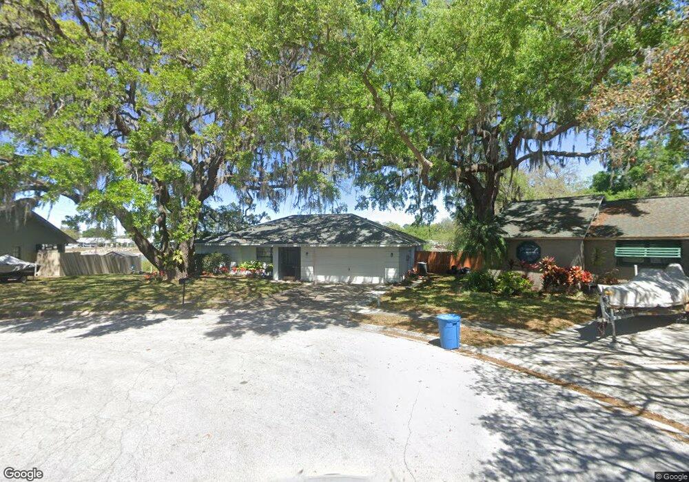
7943 Klant Ct New Port Richey, FL 34653
Estimated Value: $334,906 - $385,000
--
Bed
2
Baths
1,947
Sq Ft
$185/Sq Ft
Est. Value
About This Home
This home is located at 7943 Klant Ct, New Port Richey, FL 34653 and is currently estimated at $360,477, approximately $185 per square foot. 7943 Klant Ct is a home located in Pasco County with nearby schools including Calusa Elementary School, Chasco Middle School, and Gulf High School.
Ownership History
Date
Name
Owned For
Owner Type
Purchase Details
Closed on
Aug 28, 1998
Sold by
Ballard Euel L and Ballard Marcia R
Bought by
Ziegler Richard A and Ziegler Dianne L
Current Estimated Value
Home Financials for this Owner
Home Financials are based on the most recent Mortgage that was taken out on this home.
Original Mortgage
$93,500
Interest Rate
6.92%
Mortgage Type
New Conventional
Create a Home Valuation Report for This Property
The Home Valuation Report is an in-depth analysis detailing your home's value as well as a comparison with similar homes in the area
Home Values in the Area
Average Home Value in this Area
Purchase History
| Date | Buyer | Sale Price | Title Company |
|---|---|---|---|
| Ziegler Richard A | $110,000 | -- |
Source: Public Records
Mortgage History
| Date | Status | Borrower | Loan Amount |
|---|---|---|---|
| Open | Ziegler Richard A | $87,050 | |
| Closed | Ziegler Richard A | $93,500 |
Source: Public Records
Tax History Compared to Growth
Tax History
| Year | Tax Paid | Tax Assessment Tax Assessment Total Assessment is a certain percentage of the fair market value that is determined by local assessors to be the total taxable value of land and additions on the property. | Land | Improvement |
|---|---|---|---|---|
| 2025 | $1,653 | $129,930 | -- | -- |
| 2024 | $1,653 | $126,270 | -- | -- |
| 2023 | $1,581 | $122,600 | $50,624 | $71,976 |
| 2022 | $1,409 | $119,030 | $0 | $0 |
| 2021 | $1,371 | $115,570 | $41,986 | $73,584 |
| 2020 | $1,343 | $113,980 | $25,494 | $88,486 |
| 2019 | $1,310 | $111,420 | $0 | $0 |
| 2018 | $1,278 | $109,348 | $0 | $0 |
| 2017 | $1,267 | $109,348 | $0 | $0 |
| 2016 | $1,208 | $104,896 | $0 | $0 |
| 2015 | $1,223 | $104,167 | $0 | $0 |
| 2014 | $1,185 | $106,764 | $20,094 | $86,670 |
Source: Public Records
Map
Nearby Homes
- 7826 Kinross Dr
- 8225 Arevee Dr Unit 819
- 8225 Arevee Dr Unit 334
- 8225 Arevee Dr Unit 363
- 8225 Arevee Dr
- 8225 Arevee Dr Unit 630
- 8225 Arevee Dr Unit 638
- 7924 Royal Stewart Dr
- 7925 Foxwood Dr
- 7841 Royal Stewart Dr
- 7544 Red Mill Cir
- 7835 Crosier Ct
- 7518 Sequoia Dr
- 7510 Red Mill Cir
- 7504 Sequoia Dr
- 8010 Buttonball Ln
- 8405 Blue Rock Dr
- 7807 Summertree Ln
- 7650 Red Mill Cir
- 7406 Gettysburg Dr
- 7947 Klant Ct
- 7937 Klant Ct
- 7946 Klant Ct
- 7929 Klant Ct
- 7942 Klant Ct
- 7930 Klant Ct
- 8149 Hutchinson Dr
- 8203 Hutchinson Dr
- 7925 Klant Ct
- 8141 Hutchinson Dr
- 7921 Klant Ct
- 7921 7921 Klant Ct
- 8133 Hutchinson Dr
- 7915 Klant Ct
- 7907 Klant Ct
- 7846 Kinross Dr
- 7847 Kinross Dr
- 8107 Hutchinson Dr
- 8134 Hutchinson Dr
- 7836 Kinross Dr