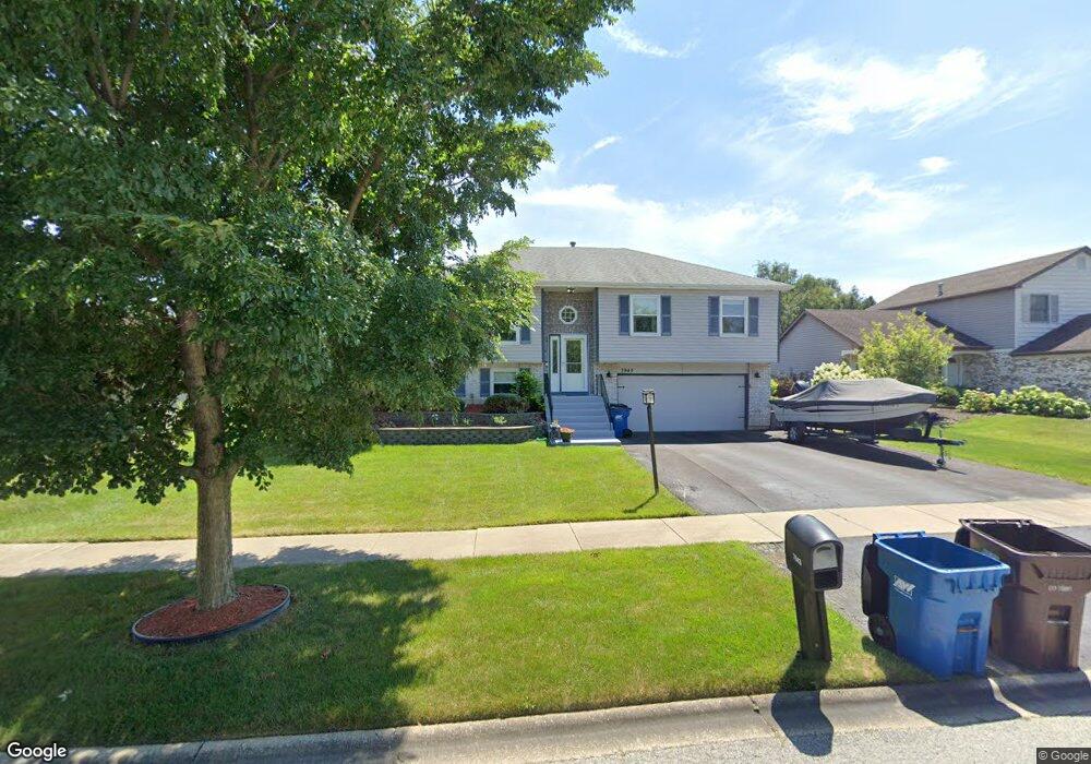
7943 W Barbara Ln Frankfort, IL 60423
Frankfort Square NeighborhoodEstimated Value: $331,000 - $389,000
3
Beds
2
Baths
1,167
Sq Ft
$308/Sq Ft
Est. Value
About This Home
This home is located at 7943 W Barbara Ln, Frankfort, IL 60423 and is currently estimated at $359,189, approximately $307 per square foot. 7943 W Barbara Ln is a home located in Will County with nearby schools including Frankfort Square Elementary School, Summit Hill Junior High School, and Lincoln-Way East High School.
Ownership History
Date
Name
Owned For
Owner Type
Purchase Details
Closed on
May 21, 2008
Sold by
Nelson Michael A and Nelson Kathleen A
Bought by
Roberts Robert and Roberts Janet
Current Estimated Value
Home Financials for this Owner
Home Financials are based on the most recent Mortgage that was taken out on this home.
Original Mortgage
$176,000
Outstanding Balance
$111,751
Interest Rate
5.93%
Mortgage Type
Purchase Money Mortgage
Estimated Equity
$247,438
Create a Home Valuation Report for This Property
The Home Valuation Report is an in-depth analysis detailing your home's value as well as a comparison with similar homes in the area
Home Values in the Area
Average Home Value in this Area
Purchase History
| Date | Buyer | Sale Price | Title Company |
|---|---|---|---|
| Roberts Robert | $220,000 | Ticor Title |
Source: Public Records
Mortgage History
| Date | Status | Borrower | Loan Amount |
|---|---|---|---|
| Open | Roberts Robert | $176,000 |
Source: Public Records
Tax History Compared to Growth
Tax History
| Year | Tax Paid | Tax Assessment Tax Assessment Total Assessment is a certain percentage of the fair market value that is determined by local assessors to be the total taxable value of land and additions on the property. | Land | Improvement |
|---|---|---|---|---|
| 2024 | $6,733 | $87,829 | $19,421 | $68,408 |
| 2023 | $6,733 | $78,440 | $17,345 | $61,095 |
| 2022 | $5,975 | $71,445 | $15,798 | $55,647 |
| 2021 | $5,589 | $66,840 | $14,780 | $52,060 |
| 2020 | $5,497 | $64,956 | $14,363 | $50,593 |
| 2019 | $5,308 | $63,218 | $13,979 | $49,239 |
| 2018 | $5,108 | $61,400 | $13,577 | $47,823 |
| 2017 | $4,995 | $59,967 | $13,260 | $46,707 |
| 2016 | $4,834 | $57,911 | $12,805 | $45,106 |
| 2015 | $4,520 | $55,872 | $12,354 | $43,518 |
| 2014 | $4,520 | $55,483 | $12,268 | $43,215 |
| 2013 | $4,520 | $56,202 | $12,427 | $43,775 |
Source: Public Records
Map
Nearby Homes
- 7800 W Kingston Dr
- 7758 W Kingston Dr
- 8131 W Evergreen Dr
- 7752 W Almond Ct Unit 135
- 20137 S Hampton Ct Unit A
- 20130 S Frankfort Square Rd
- 20301 S Pine Hill Rd Unit 1D
- 20301 S Pine Hill Rd Unit 3A
- 8025 Stonegate Dr
- 20206 S Frankfort Square Rd Unit A
- 20158 S Rosewood Dr
- 8237 Auburn Ln
- 8250 Auburn Ln
- 8310 Auburn Ln
- 20349 S Green Meadow Ln
- 7639 W Juniper Ct
- 19708 S Skye Dr
- 20513 S Acorn Ridge Dr
- 7959 Brookside Glen Dr Unit VI
- 8510 W Saint Francis Rd
- 7955 W Barbara Ln
- 7931 W Barbara Ln
- 7963 W Barbara Ln
- 7919 W Barbara Ln
- 7975 W Barbara Ln
- 20045 S 80th Ave
- 20072 S Mallory Dr
- 20060 S Mallory Dr
- 7985 W Barbara Ln
- 20015 S Jessica Ln
- 7922 W Barbara Ln
- 7912 W Barbara Ln
- 20026 S Jessica Ln
- 20032 S Mallory Dr
- 20005 S Jessica Ln
- 20055 S 80th Ave
- 20014 S Jessica Ln
- 7944 W Laurel Dr
- 7936 W Laurel Dr
- 7948 W Laurel Dr