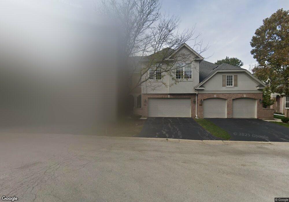
7946 Ashbrook Ct Darien, IL 60561
Estimated Value: $447,859 - $482,000
3
Beds
3
Baths
1,900
Sq Ft
$242/Sq Ft
Est. Value
About This Home
This home is located at 7946 Ashbrook Ct, Darien, IL 60561 and is currently estimated at $459,965, approximately $242 per square foot. 7946 Ashbrook Ct is a home located in DuPage County with nearby schools including Concord Elementary School, Cass Jr High School, and Hinsdale South High School.
Ownership History
Date
Name
Owned For
Owner Type
Purchase Details
Closed on
Feb 10, 2014
Sold by
Kizlauskas Anthony G and Kizlauskas Diana
Bought by
Kizlauskas Anthony G and Kizlauskas Diana
Current Estimated Value
Purchase Details
Closed on
Mar 12, 2001
Sold by
Ashbrook Place Llc
Bought by
Kizlauskas Anthony G and Kizlauskas Diana
Home Financials for this Owner
Home Financials are based on the most recent Mortgage that was taken out on this home.
Original Mortgage
$200,000
Outstanding Balance
$69,745
Interest Rate
7.13%
Mortgage Type
Purchase Money Mortgage
Estimated Equity
$390,220
Create a Home Valuation Report for This Property
The Home Valuation Report is an in-depth analysis detailing your home's value as well as a comparison with similar homes in the area
Home Values in the Area
Average Home Value in this Area
Purchase History
| Date | Buyer | Sale Price | Title Company |
|---|---|---|---|
| Kizlauskas Anthony G | -- | None Available | |
| Kizlauskas Anthony G | $298,000 | -- |
Source: Public Records
Mortgage History
| Date | Status | Borrower | Loan Amount |
|---|---|---|---|
| Open | Kizlauskas Anthony G | $200,000 |
Source: Public Records
Tax History
| Year | Tax Paid | Tax Assessment Tax Assessment Total Assessment is a certain percentage of the fair market value that is determined by local assessors to be the total taxable value of land and additions on the property. | Land | Improvement |
|---|---|---|---|---|
| 2024 | $7,747 | $136,203 | $27,902 | $108,301 |
| 2023 | $7,380 | $125,210 | $25,650 | $99,560 |
| 2022 | $7,453 | $122,630 | $25,120 | $97,510 |
| 2021 | $6,913 | $121,230 | $24,830 | $96,400 |
| 2020 | $6,783 | $118,830 | $24,340 | $94,490 |
| 2019 | $6,506 | $114,010 | $23,350 | $90,660 |
| 2018 | $6,552 | $116,930 | $23,950 | $92,980 |
| 2017 | $6,386 | $112,520 | $23,050 | $89,470 |
| 2016 | $6,218 | $107,390 | $22,000 | $85,390 |
| 2015 | $6,071 | $101,040 | $20,700 | $80,340 |
| 2014 | $6,876 | $111,640 | $22,880 | $88,760 |
| 2013 | $6,625 | $111,110 | $22,770 | $88,340 |
Source: Public Records
Map
Nearby Homes
- 1204 Sleepy Hollow Ln
- 1501 Darien Lake Dr Unit A201
- 7713 Brookhaven Ave
- 1370 Marco Ct
- 1390 Marco Ct
- 8076 Capra Trail
- 1518 Pine View Ct
- 17W435 Concord Place
- Lot 1, 2, 3, 4 & 5 Nantucket Dr
- 8065 Wildwood Ln Unit 54CR
- 1447 Coventry Ct
- 8032 Wildwood Ln
- 801 79th St Unit 310
- 709 79th St Unit 408
- 8167 Ripple Ridge Unit 8167
- 1052 Ripple Ridge
- 7816 Dorchester Ln
- 1524 Brittany Ct
- 7800 Dorchester Ln
- 7525 Nantucket Dr Unit 210
- 7944 Ashbrook Ct
- 7942 Ashbrook Ct
- 7940 Ashbrook Ct
- 7950 Ashbrook Ct
- 7932 Ashbrook Ct
- 7952 Ashbrook Ct
- 7930 Ashbrook Ct
- 7917 Grant St
- 7921 Grant St
- 1206 Ashbrook Ct
- 1225 Ashbrook Ct
- 1227 Ashbrook Ct
- 1223 Ashbrook Ct
- 1204 Ashbrook Ct
- 1221 Ashbrook Ct
- 7925 Grant St
- 7912 S Cass Ave
- 1202 Ashbrook Ct
- 1211 Ashbrook Ct
- 7909 Grant St
Your Personal Tour Guide
Ask me questions while you tour the home.