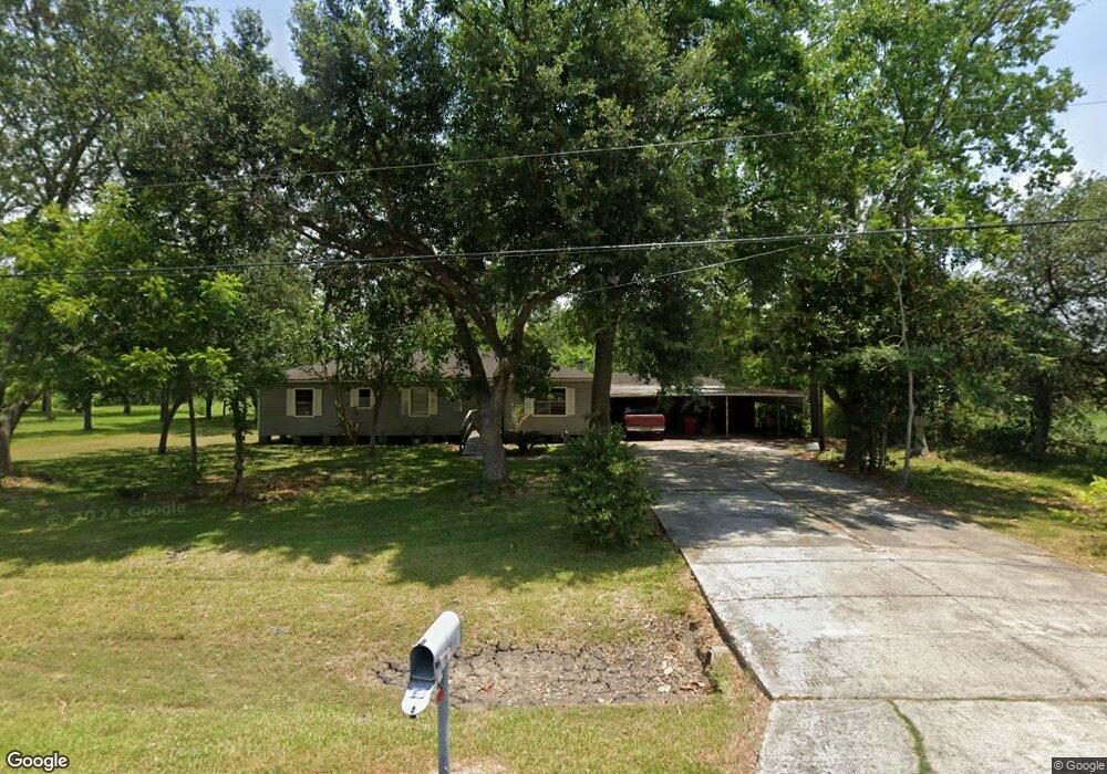
7946 Moore Rd Pearland, TX 77584
Estimated Value: $319,000 - $446,000
--
Bed
5
Baths
1,512
Sq Ft
$240/Sq Ft
Est. Value
About This Home
This home is located at 7946 Moore Rd, Pearland, TX 77584 and is currently estimated at $363,464, approximately $240 per square foot. 7946 Moore Rd is a home located in Brazoria County with nearby schools including Mark Twain Elementary School, G.W. Harby Junior High School, and Manvel High School.
Ownership History
Date
Name
Owned For
Owner Type
Purchase Details
Closed on
Jun 11, 2020
Sold by
Farias Carmen G and Farias Carmen Gloria
Bought by
Calva David
Current Estimated Value
Home Financials for this Owner
Home Financials are based on the most recent Mortgage that was taken out on this home.
Original Mortgage
$66,187
Interest Rate
3.2%
Mortgage Type
New Conventional
Purchase Details
Closed on
Mar 30, 2018
Sold by
Farias Carmen G
Bought by
Farias Jesus
Create a Home Valuation Report for This Property
The Home Valuation Report is an in-depth analysis detailing your home's value as well as a comparison with similar homes in the area
Home Values in the Area
Average Home Value in this Area
Purchase History
| Date | Buyer | Sale Price | Title Company |
|---|---|---|---|
| Calva David | -- | None Available | |
| Farias Jesus | -- | None Available |
Source: Public Records
Mortgage History
| Date | Status | Borrower | Loan Amount |
|---|---|---|---|
| Closed | Calva David | $66,187 |
Source: Public Records
Tax History Compared to Growth
Tax History
| Year | Tax Paid | Tax Assessment Tax Assessment Total Assessment is a certain percentage of the fair market value that is determined by local assessors to be the total taxable value of land and additions on the property. | Land | Improvement |
|---|---|---|---|---|
| 2025 | $5,855 | $299,230 | $152,980 | $146,250 |
| 2023 | $5,855 | $434,720 | $235,710 | $199,010 |
| 2022 | $4,027 | $189,870 | $90,140 | $99,730 |
| 2021 | $3,473 | $156,500 | $82,410 | $74,090 |
| 2020 | $4,135 | $192,800 | $117,000 | $75,800 |
| 2019 | $4,176 | $188,810 | $117,000 | $71,810 |
| 2018 | $3,325 | $149,990 | $78,750 | $71,240 |
| 2017 | $3,169 | $153,700 | $85,310 | $68,390 |
| 2016 | $2,881 | $149,140 | $85,310 | $63,830 |
Source: Public Records
Map
Nearby Homes
- 17501 County Road 116
- 7829 James St Unit CR117
- COUNTRY RD 143 County Road 112
- 3415 Herbert Dr
- 18111 Roy Long Rd
- 18502 Wells Ct
- 8042 Over St
- 8030 Over St Unit C176A
- 7225 Libby Ln
- 4016 Atago Tree Ln
- 00 Cr 175
- 3411 Woodrose Orchard Dr
- 7223 Libby Ln
- 3421 Comice Ln
- 3410 Comice Ln
- 4013 Green Anjou Ln
- 4004 Green Anjou Ln
- 3424 Daily Harvest Dr
- 3425 Daily Harvest Dr
- 3412 Daily Harvest Dr
- 7946 Moore Rd
- 0 Moore Rd
- 7914 County Road 162
- 7809 Moore Rd
- 7801 Moore Rd
- 7914 Moore Rd
- 8007 Moore Rd
- 8005 Moore Rd
- 8005 Moore Rd Unit B
- 7905 Moore Rd
- 8006 Moore Rd
- 8006 County Road 162
- 7842 Lester St
- 7842 Lester St
- 8003 Moore Rd
- 7901 Moore Rd
- 7844 Lester St
- 8010 Moore Rd
- 8011 Moore Rd
- 7858 County Road 116