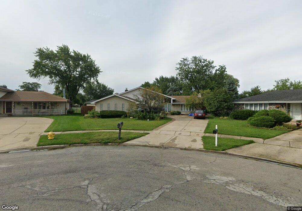
7949 W Sequoia Ct Unit 1 Orland Park, IL 60462
Silver Lake South NeighborhoodEstimated Value: $448,000 - $515,000
4
Beds
3
Baths
2,500
Sq Ft
$190/Sq Ft
Est. Value
About This Home
This home is located at 7949 W Sequoia Ct Unit 1, Orland Park, IL 60462 and is currently estimated at $474,449, approximately $189 per square foot. 7949 W Sequoia Ct Unit 1 is a home located in Cook County with nearby schools including Arnold W Kruse Education Center, Central Middle School, and Victor J Andrew High School.
Ownership History
Date
Name
Owned For
Owner Type
Purchase Details
Closed on
Jul 19, 2011
Sold by
Mccormick Sheila
Bought by
Alvarez Jose L and Alvarez Silvia
Current Estimated Value
Home Financials for this Owner
Home Financials are based on the most recent Mortgage that was taken out on this home.
Original Mortgage
$280,000
Outstanding Balance
$192,995
Interest Rate
4.55%
Mortgage Type
VA
Estimated Equity
$281,454
Purchase Details
Closed on
Jan 10, 1997
Sold by
Mccormick Margaret M
Bought by
Mccormick Margaret M and Margaret M Mccormick Trust
Create a Home Valuation Report for This Property
The Home Valuation Report is an in-depth analysis detailing your home's value as well as a comparison with similar homes in the area
Home Values in the Area
Average Home Value in this Area
Purchase History
| Date | Buyer | Sale Price | Title Company |
|---|---|---|---|
| Alvarez Jose L | $285,000 | Fidelity Natl Title Ins Co | |
| Mccormick Margaret M | -- | -- |
Source: Public Records
Mortgage History
| Date | Status | Borrower | Loan Amount |
|---|---|---|---|
| Open | Alvarez Jose L | $280,000 |
Source: Public Records
Tax History Compared to Growth
Tax History
| Year | Tax Paid | Tax Assessment Tax Assessment Total Assessment is a certain percentage of the fair market value that is determined by local assessors to be the total taxable value of land and additions on the property. | Land | Improvement |
|---|---|---|---|---|
| 2024 | $9,837 | $37,000 | $8,661 | $28,339 |
| 2023 | $7,529 | $37,000 | $8,661 | $28,339 |
| 2022 | $7,529 | $24,529 | $7,622 | $16,907 |
| 2021 | $4,126 | $24,528 | $7,621 | $16,907 |
| 2020 | $4,126 | $24,528 | $7,621 | $16,907 |
| 2019 | $0 | $27,807 | $6,929 | $20,878 |
| 2018 | $0 | $27,807 | $6,929 | $20,878 |
| 2017 | $0 | $27,807 | $6,929 | $20,878 |
| 2016 | $0 | $25,129 | $6,236 | $18,893 |
| 2015 | $0 | $25,129 | $6,236 | $18,893 |
| 2014 | $7,501 | $25,129 | $6,236 | $18,893 |
| 2013 | $7,177 | $25,291 | $6,236 | $19,055 |
Source: Public Records
Map
Nearby Homes
- 15229 Bunker Dr
- 7922 Sycamore Dr
- 15024 S 81st Ave
- 7712 Sequoia Ct
- 8215 Saint Andrews Dr
- 14939 S 81st Ct
- 7991 Forestview Dr
- 15426 S 82nd Ave
- 15543 Brassie Dr
- 7825 Braeloch Ct
- 7617 Sycamore Dr
- 7820 Forestview Dr
- 7842 Sea Pines Rd
- 15624 Sunset Ridge Dr
- 15346 Heather Ct
- 15713 Brassie Ct Unit 1S
- 15337 Heather Ct
- 7747 Cashew Dr
- 7911 W 157th St Unit 2W
- 15702 Deerfield Ct Unit 2S
- 7955 W Sequoia Ct Unit 1
- 7950 W Ponderosa Ct
- 7943 W Sequoia Ct
- 7944 W Ponderosa Ct
- 7935 W Sequoia Ct Unit 1
- 7960 W Sequoia Ct
- 7936 W Ponderosa Ct
- 7927 W Sequoia Ct
- 7950 W Sequoia Ct
- 7928 W Ponderosa Ct
- 7944 W Sequoia Ct
- 15223 Brassie Dr
- 15217 Brassie Dr
- 7955 W Ponderosa Ct
- 15229 Brassie Dr
- 7936 W Sequoia Ct
- 15235 Brassie Dr
- 15211 Brassie Dr
- 7919 W Sequoia Ct
- 7945 W Ponderosa Ct