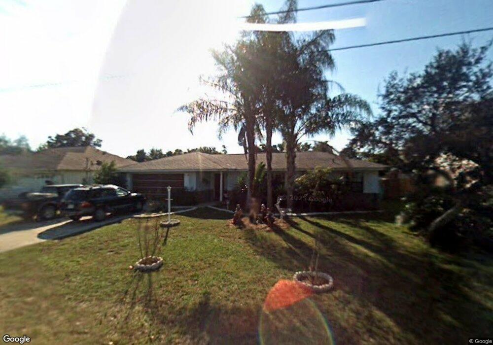
795 Coltra Ln Deltona, FL 32725
Estimated Value: $300,107 - $335,000
4
Beds
2
Baths
1,806
Sq Ft
$178/Sq Ft
Est. Value
About This Home
This home is located at 795 Coltra Ln, Deltona, FL 32725 and is currently estimated at $320,777, approximately $177 per square foot. 795 Coltra Ln is a home located in Volusia County with nearby schools including Spirit Elementary School, Deltona Middle School, and Deltona High School.
Ownership History
Date
Name
Owned For
Owner Type
Purchase Details
Closed on
Jan 15, 1998
Sold by
Laskowski Margaret A
Bought by
Smith Samuel D and Smith Priscilla
Current Estimated Value
Home Financials for this Owner
Home Financials are based on the most recent Mortgage that was taken out on this home.
Original Mortgage
$72,250
Outstanding Balance
$11,344
Interest Rate
7.19%
Estimated Equity
$309,433
Purchase Details
Closed on
Oct 21, 1996
Sold by
Laskowski Edward
Bought by
Laskowski Margaret A
Purchase Details
Closed on
Aug 15, 1985
Bought by
Smith Samuel D and Smith Priscilla
Purchase Details
Closed on
Oct 15, 1979
Bought by
Smith Samuel D and Smith Priscilla
Purchase Details
Closed on
Oct 15, 1972
Bought by
Smith Samuel D and Smith Priscilla
Create a Home Valuation Report for This Property
The Home Valuation Report is an in-depth analysis detailing your home's value as well as a comparison with similar homes in the area
Home Values in the Area
Average Home Value in this Area
Purchase History
| Date | Buyer | Sale Price | Title Company |
|---|---|---|---|
| Smith Samuel D | $85,000 | -- | |
| Laskowski Margaret A | -- | -- | |
| Smith Samuel D | $84,000 | -- | |
| Smith Samuel D | $3,300 | -- | |
| Smith Samuel D | $1,800 | -- |
Source: Public Records
Mortgage History
| Date | Status | Borrower | Loan Amount |
|---|---|---|---|
| Open | Smith Samuel D | $72,250 |
Source: Public Records
Tax History
| Year | Tax Paid | Tax Assessment Tax Assessment Total Assessment is a certain percentage of the fair market value that is determined by local assessors to be the total taxable value of land and additions on the property. | Land | Improvement |
|---|---|---|---|---|
| 2026 | $1,565 | $103,866 | -- | -- |
| 2025 | $1,565 | $101,136 | -- | -- |
| 2024 | $1,401 | $98,286 | -- | -- |
| 2023 | $1,401 | $95,424 | $0 | $0 |
| 2022 | $1,360 | $92,645 | $0 | $0 |
| 2021 | $1,370 | $89,947 | $0 | $0 |
| 2020 | $1,349 | $88,705 | $0 | $0 |
| 2019 | $1,346 | $86,711 | $0 | $0 |
| 2018 | $1,317 | $85,094 | $0 | $0 |
| 2017 | $1,280 | $83,344 | $0 | $0 |
| 2016 | $1,235 | $81,630 | $0 | $0 |
| 2015 | $1,253 | $81,063 | $0 | $0 |
| 2014 | $1,220 | $80,420 | $0 | $0 |
Source: Public Records
Map
Nearby Homes
- 768 Sullivan St
- 2089 N Normandy Blvd
- 2091 Oldham Ave
- 857 S Atmore Cir
- 2102 Nedra Ave
- 2078 Kelso Ave
- 869 Sylvia Dr
- 805 Sylvia Dr
- 1991 Tilburg Ave
- 668 Elwood St
- 683 Gainsboro St
- 2106 E Gloria Dr
- 674 Gainsboro St
- 919 Sylvia Dr
- 1877 Veronica Ave
- 0 N Normandy Blvd Unit O6072860
- 1007 Sullivan St
- 1878 Viking Ave
- 1834 Tripoli Ave
- 925 Elkcam Blvd
Your Personal Tour Guide
Ask me questions while you tour the home.