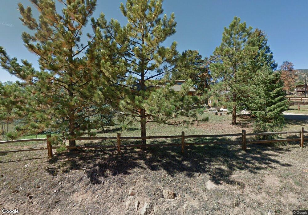
795 Columbine Dr Estes Park, CO 80517
Estimated Value: $675,795 - $888,000
3
Beds
2
Baths
1,740
Sq Ft
$444/Sq Ft
Est. Value
About This Home
This home is located at 795 Columbine Dr, Estes Park, CO 80517 and is currently estimated at $772,949, approximately $444 per square foot. 795 Columbine Dr is a home located in Larimer County with nearby schools including Estes Park K-5 School, Estes Park Options School, and Estes Park Middle School.
Ownership History
Date
Name
Owned For
Owner Type
Purchase Details
Closed on
Jul 16, 2018
Sold by
Beaugh Mary Jo
Bought by
Mary Jo Lawson Trust
Current Estimated Value
Purchase Details
Closed on
Jun 9, 2009
Sold by
Reichhardt John R and Reichhardt Ann M
Bought by
Beaugh Douglas and Beaugh Mary Jo
Purchase Details
Closed on
Jun 1, 2001
Sold by
Reichhardt John R and Reichhardt Ann M
Bought by
Reichhardt John R and Reichhardt Ann M
Purchase Details
Closed on
Feb 1, 1979
Bought by
Reichhardt John R and Reichhardt Ann M
Create a Home Valuation Report for This Property
The Home Valuation Report is an in-depth analysis detailing your home's value as well as a comparison with similar homes in the area
Home Values in the Area
Average Home Value in this Area
Purchase History
| Date | Buyer | Sale Price | Title Company |
|---|---|---|---|
| Mary Jo Lawson Trust | -- | None Available | |
| Beaugh Douglas | $370,000 | None Available | |
| Reichhardt John R | -- | -- | |
| Reichhardt John R | -- | -- | |
| Reichhardt John R | $45,000 | -- |
Source: Public Records
Tax History Compared to Growth
Tax History
| Year | Tax Paid | Tax Assessment Tax Assessment Total Assessment is a certain percentage of the fair market value that is determined by local assessors to be the total taxable value of land and additions on the property. | Land | Improvement |
|---|---|---|---|---|
| 2025 | $3,168 | $48,046 | $13,400 | $34,646 |
| 2024 | $3,132 | $48,046 | $13,400 | $34,646 |
| 2022 | $2,646 | $35,494 | $11,704 | $23,790 |
| 2021 | $2,716 | $36,515 | $12,041 | $24,474 |
| 2020 | $2,842 | $37,638 | $11,583 | $26,055 |
| 2019 | $2,820 | $37,638 | $11,583 | $26,055 |
| 2018 | $2,386 | $30,859 | $10,224 | $20,635 |
| 2017 | $2,400 | $30,859 | $10,224 | $20,635 |
| 2016 | $1,863 | $24,812 | $10,189 | $14,623 |
| 2015 | $1,840 | $24,810 | $10,190 | $14,620 |
| 2014 | $1,815 | $25,160 | $10,030 | $15,130 |
Source: Public Records
Map
Nearby Homes
- 1401 High Dr
- 831 Larkspur Rd
- 810 Larkspur Rd
- 811 Larkspur Rd
- 1611 High Dr
- 739 Larkspur Rd
- 725 Upper Larkspur Ln
- 1565 Highway 66 Unit 46
- 1565 Highway 66 Unit 33
- 1565 Highway 66 Unit 27
- 1565 Highway 66 Unit 49
- 1565 Highway 66 Unit 28
- 1263 Broadview
- 1575 Lower Broadview Rd
- 1141 Wallace Ln
- 683 Cedar Ridge Cir Unit 2
- 677 Cedar Ridge Cir Unit 5
- 658 Cedar Ridge Cir Unit 1
- 0 Alpaca Farm Way
- 1352 Alpenglow Ln
- 785 Columbine Dr
- 821 Columbine Dr
- 1421 Bluebell Dr
- 796 Columbine Dr
- 800 Columbine Dr
- 779 Columbine Dr
- 820 Columbine Dr
- 1439 Bluebell Dr
- 780 Columbine Dr
- 1440 Bluebell Dr
- 845 Windy Rose Dr
- 771 Columbine Dr
- 788 Windy Rose Dr
- 840 Columbine Dr
- 1420 Bluebell Dr
- 1400 Narcissus Dr
- 1460 Bluebell Dr
- 860 Columbine Dr
- 761 Columbine Dr
- 1441 Bluebell Dr