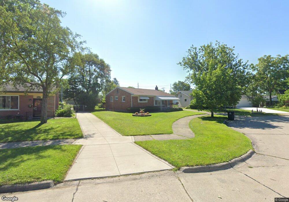
795 Easley Dr Westland, MI 48186
Estimated Value: $219,000 - $227,288
--
Bed
2
Baths
1,055
Sq Ft
$212/Sq Ft
Est. Value
About This Home
This home is located at 795 Easley Dr, Westland, MI 48186 and is currently estimated at $224,072, approximately $212 per square foot. 795 Easley Dr is a home located in Wayne County with nearby schools including Alexander Hamilton Elementary School, Marshall Upper Elementary School, and John Glenn High School.
Ownership History
Date
Name
Owned For
Owner Type
Purchase Details
Closed on
Jul 9, 2019
Sold by
Hunt Kimberly
Bought by
Hunt Kimberly and Hunt Kimberly
Current Estimated Value
Purchase Details
Closed on
May 24, 2014
Sold by
Kelly Susan A
Bought by
Hunt Kimberly
Home Financials for this Owner
Home Financials are based on the most recent Mortgage that was taken out on this home.
Original Mortgage
$88,000
Interest Rate
3.64%
Mortgage Type
New Conventional
Purchase Details
Closed on
May 31, 2007
Sold by
Lentz Lynn M and Lentz Michael A
Bought by
Kelly Susan A
Purchase Details
Closed on
Jul 28, 2004
Sold by
Reloaction
Bought by
Rawlinson Lynn M
Create a Home Valuation Report for This Property
The Home Valuation Report is an in-depth analysis detailing your home's value as well as a comparison with similar homes in the area
Home Values in the Area
Average Home Value in this Area
Purchase History
| Date | Buyer | Sale Price | Title Company |
|---|---|---|---|
| Hunt Kimberly | -- | None Available | |
| Hunt Kimberly | -- | Attorney | |
| Hunt Kimberly | -- | None Available | |
| Kelly Susan A | $129,000 | Multiple | |
| Rawlinson Lynn M | $149,500 | Metropolitan Title Company | |
| Reloaction | $149,500 | Metropolitan Title Company |
Source: Public Records
Mortgage History
| Date | Status | Borrower | Loan Amount |
|---|---|---|---|
| Previous Owner | Hunt Kimberly | $88,000 |
Source: Public Records
Tax History Compared to Growth
Tax History
| Year | Tax Paid | Tax Assessment Tax Assessment Total Assessment is a certain percentage of the fair market value that is determined by local assessors to be the total taxable value of land and additions on the property. | Land | Improvement |
|---|---|---|---|---|
| 2025 | $2,345 | $100,700 | $0 | $0 |
| 2024 | $2,345 | $95,600 | $0 | $0 |
| 2023 | $2,239 | $84,200 | $0 | $0 |
| 2022 | $2,612 | $74,100 | $0 | $0 |
| 2021 | $2,546 | $70,800 | $0 | $0 |
| 2020 | $2,518 | $64,600 | $0 | $0 |
| 2019 | $2,427 | $63,100 | $0 | $0 |
| 2018 | $2,002 | $54,800 | $0 | $0 |
| 2017 | $879 | $51,200 | $0 | $0 |
| 2016 | $2,697 | $50,900 | $0 | $0 |
| 2015 | $4,560 | $45,600 | $0 | $0 |
| 2013 | $3,824 | $39,070 | $0 | $0 |
| 2012 | $2,545 | $37,860 | $0 | $0 |
Source: Public Records
Map
Nearby Homes
- 32732 Glen St
- 1163 Denice St
- 32508 Avondale St
- 754 Alvin St
- 32411 Grandview Ave
- 535 S Hubbard St
- 0000 Barrington Ave
- 183 Daniel Ave Unit 6
- 32111 Birchwood Ave
- 32025 Birchwood St
- 00000 Cherry Hill Rd
- 32154 Melton St
- 32155 Melton St
- 711 S Hawthorne St
- 33532 Leona St
- 34114 Avondale St
- 32140 Palmer Rd
- 32116 Palmer Rd
- 31606 Fairchild St
- 2075 Alanson St