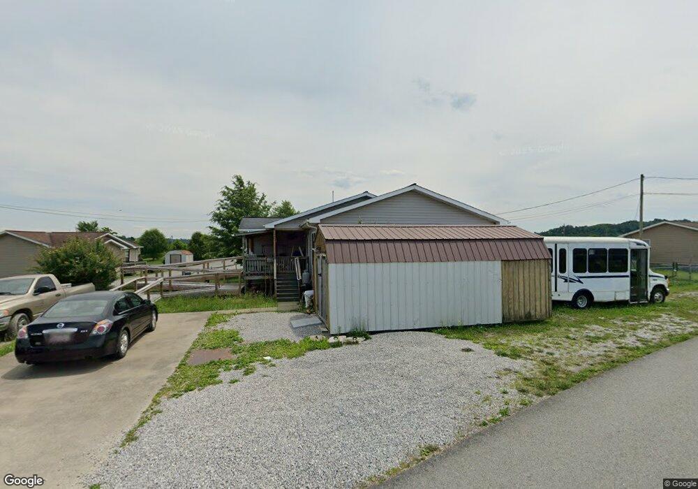
795 Fly By Hazard Rd Chavies, KY 41727
Estimated Value: $78,000 - $215,000
--
Bed
--
Bath
1,440
Sq Ft
$104/Sq Ft
Est. Value
About This Home
This home is located at 795 Fly By Hazard Rd, Chavies, KY 41727 and is currently estimated at $149,986, approximately $104 per square foot. 795 Fly By Hazard Rd is a home located in Perry County with nearby schools including Chavies Elementary School and Perry County Central High School.
Ownership History
Date
Name
Owned For
Owner Type
Purchase Details
Closed on
Oct 9, 2009
Sold by
Housing Development Alliance
Bought by
Herman Wesley and Herman Rachel
Current Estimated Value
Home Financials for this Owner
Home Financials are based on the most recent Mortgage that was taken out on this home.
Original Mortgage
$10,000
Interest Rate
5.03%
Create a Home Valuation Report for This Property
The Home Valuation Report is an in-depth analysis detailing your home's value as well as a comparison with similar homes in the area
Home Values in the Area
Average Home Value in this Area
Purchase History
| Date | Buyer | Sale Price | Title Company |
|---|---|---|---|
| Herman Wesley | $100,000 | -- |
Source: Public Records
Mortgage History
| Date | Status | Borrower | Loan Amount |
|---|---|---|---|
| Open | Herman Wesley | $95,645 | |
| Closed | Herman Wesley | $75,000 | |
| Closed | Herman Wesley G | $25,000 | |
| Closed | Herman Wesley | $10,000 |
Source: Public Records
Tax History Compared to Growth
Tax History
| Year | Tax Paid | Tax Assessment Tax Assessment Total Assessment is a certain percentage of the fair market value that is determined by local assessors to be the total taxable value of land and additions on the property. | Land | Improvement |
|---|---|---|---|---|
| 2024 | $1,040 | $100,000 | $0 | $0 |
| 2023 | $1,040 | $100,000 | $20,000 | $80,000 |
| 2022 | $1,037 | $100,000 | $20,000 | $80,000 |
| 2021 | $1,044 | $100,000 | $20,000 | $80,000 |
| 2020 | $1,040 | $100,000 | $20,000 | $80,000 |
| 2019 | $1,032 | $100,000 | $20,000 | $80,000 |
| 2018 | $1,010 | $100,000 | $20,000 | $80,000 |
| 2017 | $100,000 | $100,000 | $20,000 | $80,000 |
| 2016 | $100,000 | $100,000 | $20,000 | $80,000 |
| 2015 | $100,000 | $100,000 | $20,000 | $80,000 |
| 2013 | $927 | $100,000 | $20,000 | $80,000 |
Source: Public Records
Map
Nearby Homes
- 167 Outer Reef Rd
- 33 Andys Crossing
- 0 Lost Creek Rd Unit 25011913
- 510 Regional Airport Rd
- 181 Pads Branch Rd
- 205 Little Leatherwood Rd
- 547 Upper River Caney Rd
- 4391 Kentucky 15
- 275 Sand Ridge Dr
- 0 Nix Branch Rd
- 315 Crawford Valley Dr
- 72 Stacy Ln
- 279 Hunter Dr
- 00 Noble Mountain Dr
- 101 Falcon Crest Ct
- 00 Chavies-Dunraven Rd
- 172 Falcon Crest Ct
- 38 Walter Holliday Dr
- 67 Bulan Hiner Rd
- 0 Russell Branch Rd
- 36 Crosscut Ln
- 765 Fly By Hazard Rd
- 709 Fly By Hazard Rd
- 953 Fly By Hazard Rd
- 794 Fly By Hazard Rd
- 741 Fly By Hazard Rd
- 104 Doctors Row
- 66 Doctors Row
- 64 Doctors Row
- 812 Fly By Hazard Rd
- 66 Outer Reef Dr
- 854 Fly By Hazard Rd
- 23 Dahlya Ln
- 91 Doctors Row
- 876 Fly By Hazard Rd
- 37 Doctors Row
- 310 Doctors Row
- 11 Doctors Row
- 248 Doctors Row
- 65 Outer Reef Rd