795 Heuser St NE Palmyra, IN 47164
Estimated Value: $179,000 - $207,000
2
Beds
1
Bath
1,008
Sq Ft
$189/Sq Ft
Est. Value
About This Home
This home is located at 795 Heuser St NE, Palmyra, IN 47164 and is currently estimated at $190,703, approximately $189 per square foot. 795 Heuser St NE is a home located in Harrison County with nearby schools including North Harrison High School.
Ownership History
Date
Name
Owned For
Owner Type
Purchase Details
Closed on
Jul 29, 2021
Sold by
Corrao Enterprise Llc
Bought by
John Parnicky Iii Stephen
Current Estimated Value
Home Financials for this Owner
Home Financials are based on the most recent Mortgage that was taken out on this home.
Interest Rate
2.8%
Purchase Details
Closed on
Feb 10, 2021
Sold by
William Staffurd
Bought by
Corrao Ents Llc
Create a Home Valuation Report for This Property
The Home Valuation Report is an in-depth analysis detailing your home's value as well as a comparison with similar homes in the area
Home Values in the Area
Average Home Value in this Area
Purchase History
| Date | Buyer | Sale Price | Title Company |
|---|---|---|---|
| John Parnicky Iii Stephen | $150,000 | -- | |
| Corrao Ents Llc | $74,250 | Simplifile Lc E-Recording |
Source: Public Records
Mortgage History
| Date | Status | Borrower | Loan Amount |
|---|---|---|---|
| Closed | John Parnicky Iii Stephen | -- |
Source: Public Records
Tax History Compared to Growth
Tax History
| Year | Tax Paid | Tax Assessment Tax Assessment Total Assessment is a certain percentage of the fair market value that is determined by local assessors to be the total taxable value of land and additions on the property. | Land | Improvement |
|---|---|---|---|---|
| 2024 | $1,042 | $163,900 | $18,200 | $145,700 |
| 2023 | $1,012 | $165,500 | $18,200 | $147,300 |
| 2022 | $920 | $148,000 | $11,400 | $136,600 |
| 2021 | $76 | $79,000 | $9,000 | $70,000 |
| 2020 | $0 | $74,800 | $9,000 | $65,800 |
| 2019 | $0 | $70,200 | $9,000 | $61,200 |
| 2018 | $0 | $65,500 | $9,000 | $56,500 |
| 2017 | $0 | $63,800 | $9,000 | $54,800 |
| 2016 | -- | $60,800 | $9,000 | $51,800 |
| 2014 | -- | $55,200 | $9,000 | $46,200 |
| 2013 | -- | $52,000 | $9,000 | $43,000 |
Source: Public Records
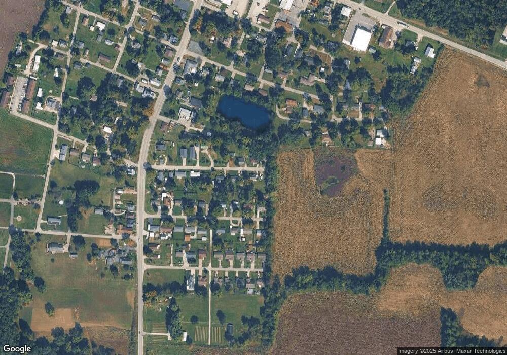
Map
Nearby Homes
- 930 Church St
- 657 Heuser St NE
- 831 Main St NE
- 902 Coleman St NE
- 13520 Green (Chevy Dr)
- 14095 N Martin Mathis Rd NE
- 835 Hunters Rd NE
- 1260 County Line Rd NE
- 2010 Old East Rd NE
- 2300 Old East Rd NE
- 0 Tree Dr NW Unit 202508915
- 0000 S Big Springs Rd
- off W Side Buffalo Trace Rd
- off S Side Buffalo Trace Rd
- 1308 Cemetery Rd NE
- 9927 Maplewood Ct
- 9370 Oak Park Rd NE
- 8960 Turkey Farm Rd NW
- 30 N High St
- 470 W Whiskey Run Rd NE
- 795 Heuser St NE
- 775 Heuser St NE
- 780 Kahl St NE
- 790 Heuser St NE
- 790 Kahl St NE
- 780 Heuser St NE
- 765 Heuser St NE
- 796 Heuser St NE
- 770 Kahl St NE
- 770 Heuser St NE
- 760 Kahl St NE
- 785 Kahl St NE
- 775 Kahl St NE
- 795 Kahl St NE
- 735 Heuser St NE
- 730 Kahl St NE
- 745 Kahl St NE
- 885 Rose Dr NE
- 730 Heuser St NE
- 786 Voyles St NE