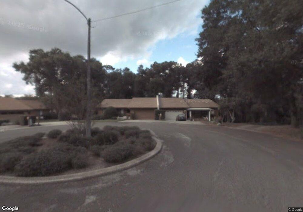
795 Lancaster Rd Deland, FL 32720
North DeLand NeighborhoodEstimated Value: $397,000 - $423,611
3
Beds
3
Baths
3,401
Sq Ft
$120/Sq Ft
Est. Value
About This Home
This home is located at 795 Lancaster Rd, Deland, FL 32720 and is currently estimated at $408,403, approximately $120 per square foot. 795 Lancaster Rd is a home with nearby schools including Deland High School, Citrus Grove Elementary, and Deland Middle School.
Ownership History
Date
Name
Owned For
Owner Type
Purchase Details
Closed on
Oct 6, 2005
Sold by
Clayton James B and Clayton Nancy P
Bought by
Riley Christopher A and Riley Elizabeth C
Current Estimated Value
Purchase Details
Closed on
Dec 15, 1986
Bought by
Riley Christopher A
Purchase Details
Closed on
Apr 15, 1986
Bought by
Riley Christopher A
Purchase Details
Closed on
Sep 15, 1985
Bought by
Riley Christopher A
Purchase Details
Closed on
Feb 15, 1982
Bought by
Riley Christopher A
Create a Home Valuation Report for This Property
The Home Valuation Report is an in-depth analysis detailing your home's value as well as a comparison with similar homes in the area
Home Values in the Area
Average Home Value in this Area
Purchase History
| Date | Buyer | Sale Price | Title Company |
|---|---|---|---|
| Riley Christopher A | $79,800 | -- | |
| Riley Christopher A | $79,800 | -- | |
| Riley Christopher A | $100 | -- | |
| Riley Christopher A | $79,500 | -- | |
| Riley Christopher A | $20,000 | -- | |
| Riley Christopher A | $100 | -- |
Source: Public Records
Tax History Compared to Growth
Tax History
| Year | Tax Paid | Tax Assessment Tax Assessment Total Assessment is a certain percentage of the fair market value that is determined by local assessors to be the total taxable value of land and additions on the property. | Land | Improvement |
|---|---|---|---|---|
| 2025 | $2,475 | $171,015 | -- | -- |
| 2024 | $2,475 | $166,196 | -- | -- |
| 2023 | $2,475 | $161,356 | $0 | $0 |
| 2022 | $2,415 | $156,656 | $0 | $0 |
| 2021 | $2,491 | $152,093 | $0 | $0 |
| 2020 | $2,452 | $149,993 | $0 | $0 |
| 2019 | $2,520 | $146,621 | $0 | $0 |
| 2018 | $2,506 | $143,887 | $0 | $0 |
| 2017 | $2,497 | $140,928 | $0 | $0 |
| 2016 | $2,381 | $138,029 | $0 | $0 |
| 2015 | $2,426 | $137,070 | $0 | $0 |
| 2014 | $2,312 | $132,059 | $0 | $0 |
Source: Public Records
Map
Nearby Homes
- 2652 N Woodland Blvd
- 1075 Burgoyne Rd
- 2836 Shenandoah Rd
- 940 Village Green Rd
- 336 Raintree Cir Unit 11
- 1105 Burgoyne Rd
- 2490 N Woodland Blvd
- 2480 N Woodland Blvd
- 193 Raintree Cir Unit 88
- 300 Raintree Cir
- 348 Raintree Cir
- 211 Raintree Cir Unit 85
- 2850 Green Mountain Rd
- 29 Ramblewood Trail
- 2680 Concord Rd
- 2541 Parkway Dr
- 297 Raintree Cir
- 32 Virginia Ave
- 920 Shady Branch Trail
- 160 Cutbank Trail
- 785 Lancaster Rd
- 805 Lancaster Rd
- 775 Lancaster Rd
- 815 Lancaster Rd
- 825 Lancaster Rd
- 835 Lancaster Rd
- 2840 Valley Forge Rd
- 900 Lexington Rd
- 895 Lancaster Rd
- 2850 Valley Forge Rd
- 885 Lancaster Rd
- 2845 Valley Forge Rd
- 845 Lancaster Rd
- 770 Lancaster Rd
- 875 Lancaster Rd
- 2860 Valley Forge Rd
- 901 Lexington Rd
- 780 Lancaster Rd
- 855 Lancaster Rd
- 2855 Valley Forge Rd