795 Logan Rd New Stanton, PA 15672
Hempfield Township NeighborhoodEstimated Value: $103,898 - $275,000
--
Bed
--
Bath
2,520
Sq Ft
$80/Sq Ft
Est. Value
About This Home
This home is located at 795 Logan Rd, New Stanton, PA 15672 and is currently estimated at $201,225, approximately $79 per square foot. 795 Logan Rd is a home located in Westmoreland County with nearby schools including Stanwood Elementary School, West Hempfield Middle School, and Hempfield Area Senior High School.
Ownership History
Date
Name
Owned For
Owner Type
Purchase Details
Closed on
Dec 11, 2013
Sold by
Goodman Michael John and Goodman Michael J
Bought by
Goodman Michael John and Goodman Ashley A
Current Estimated Value
Purchase Details
Closed on
Jan 30, 2008
Sold by
Sherer Ronald E
Bought by
Goodman Michael John
Home Financials for this Owner
Home Financials are based on the most recent Mortgage that was taken out on this home.
Original Mortgage
$40,000
Outstanding Balance
$25,389
Interest Rate
6.18%
Mortgage Type
Unknown
Estimated Equity
$175,836
Create a Home Valuation Report for This Property
The Home Valuation Report is an in-depth analysis detailing your home's value as well as a comparison with similar homes in the area
Home Values in the Area
Average Home Value in this Area
Purchase History
| Date | Buyer | Sale Price | Title Company |
|---|---|---|---|
| Goodman Michael John | -- | None Available | |
| Goodman Michael John | $66,325 | None Available |
Source: Public Records
Mortgage History
| Date | Status | Borrower | Loan Amount |
|---|---|---|---|
| Open | Goodman Michael John | $40,000 |
Source: Public Records
Tax History Compared to Growth
Tax History
| Year | Tax Paid | Tax Assessment Tax Assessment Total Assessment is a certain percentage of the fair market value that is determined by local assessors to be the total taxable value of land and additions on the property. | Land | Improvement |
|---|---|---|---|---|
| 2025 | $4,374 | $35,780 | $1,300 | $34,480 |
| 2024 | $4,195 | $35,780 | $1,300 | $34,480 |
| 2023 | $3,862 | $35,780 | $1,300 | $34,480 |
| 2022 | $3,862 | $35,780 | $1,300 | $34,480 |
| 2021 | $3,862 | $35,780 | $1,300 | $34,480 |
| 2020 | $3,862 | $35,780 | $1,300 | $34,480 |
| 2019 | $3,845 | $35,780 | $1,300 | $34,480 |
| 2018 | $3,800 | $35,780 | $1,300 | $34,480 |
| 2017 | $3,711 | $35,780 | $1,300 | $34,480 |
| 2016 | $1,468 | $35,780 | $1,300 | $34,480 |
| 2015 | $806 | $8,170 | $1,300 | $6,870 |
| 2014 | $793 | $8,170 | $1,300 | $6,870 |
Source: Public Records
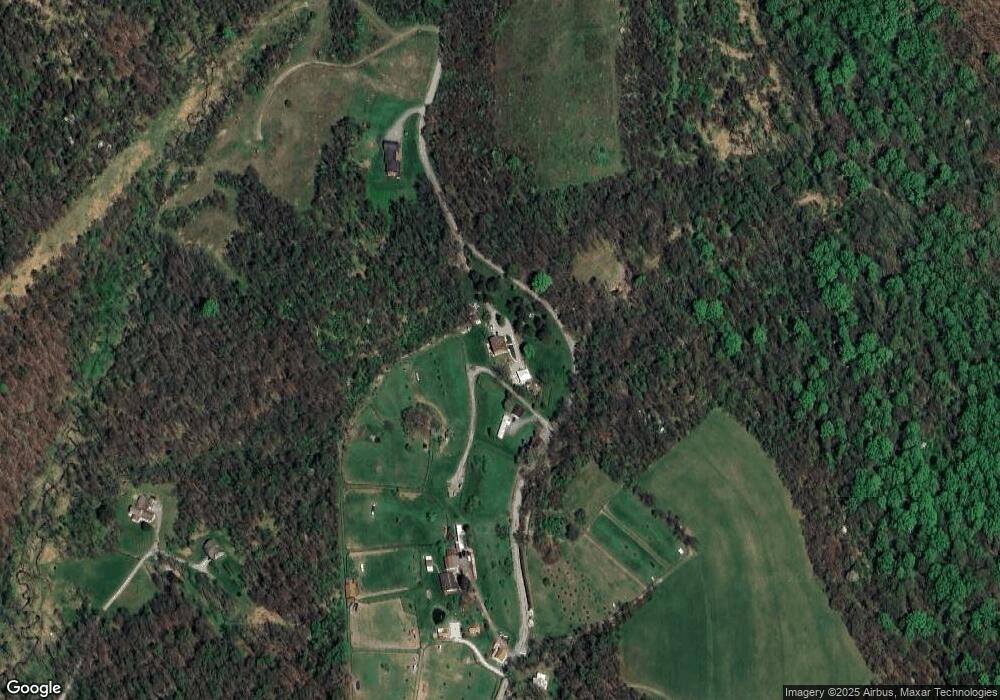
Map
Nearby Homes
- 201 Madison Ave
- 620 Timberline Ln
- 205 Joseph Dr
- 182 Broadview Rd
- Penwell Plan at Broadview Estates
- Deerfield Plan at Broadview Estates
- Galen Plan at Broadview Estates
- Hamilton Plan at Broadview Estates
- 410 Curtis Ct
- 412 Curtis Ct
- 414 Curtis Ct
- 416 Curtis Ct
- 0 Broadview Rd
- 116 Karr Ln
- 124 Oak St
- 112 Bair Blvd
- 104 Pagano Dr
- 105 Pagano Dr
- 440 N Center Ave
- 130 Keystone Rd
- 545 Middletown Rd
- 752 Logan Rd
- 158 Justice Ln
- 740 Logan Rd
- 849 Logan Rd
- 730 Browntown Rd
- 706 Browntown Rd
- 696 Browntown Rd
- 683 Browntown Rd
- 109 Justice Ln
- 293 Wagner Rd
- 293 Wagner Rd
- 674 Browntown Rd
- 259 Wagner Rd
- 678 Browntown Rd
- 241 Wagner Rd
- 599 Browntown Rd
- 910 Logan Rd
- 173 Pivik Rd
- 237 Wagner Rd