795 Patrick St Coos Bay, OR 97420
Estimated Value: $387,000 - $402,642
3
Beds
2
Baths
1,924
Sq Ft
$205/Sq Ft
Est. Value
About This Home
This home is located at 795 Patrick St, Coos Bay, OR 97420 and is currently estimated at $394,821, approximately $205 per square foot. 795 Patrick St is a home located in Coos County with nearby schools including Sunset School, Madison Elementary School, and Marshfield Senior High School.
Ownership History
Date
Name
Owned For
Owner Type
Purchase Details
Closed on
Dec 7, 2004
Sold by
Amastisto Frank H and Moon Amatisto Melody R
Bought by
Amatisto Tina and Ali Imran
Current Estimated Value
Home Financials for this Owner
Home Financials are based on the most recent Mortgage that was taken out on this home.
Original Mortgage
$152,000
Interest Rate
4.02%
Mortgage Type
Purchase Money Mortgage
Create a Home Valuation Report for This Property
The Home Valuation Report is an in-depth analysis detailing your home's value as well as a comparison with similar homes in the area
Home Values in the Area
Average Home Value in this Area
Purchase History
| Date | Buyer | Sale Price | Title Company |
|---|---|---|---|
| Amatisto Tina | $190,000 | Ticor Title Insurance |
Source: Public Records
Mortgage History
| Date | Status | Borrower | Loan Amount |
|---|---|---|---|
| Closed | Amatisto Tina | $152,000 |
Source: Public Records
Tax History Compared to Growth
Tax History
| Year | Tax Paid | Tax Assessment Tax Assessment Total Assessment is a certain percentage of the fair market value that is determined by local assessors to be the total taxable value of land and additions on the property. | Land | Improvement |
|---|---|---|---|---|
| 2024 | $4,012 | $230,830 | -- | -- |
| 2023 | $3,891 | $224,110 | $0 | $0 |
| 2022 | $3,827 | $217,590 | $0 | $0 |
| 2021 | $3,728 | $211,260 | $0 | $0 |
| 2020 | $3,623 | $211,260 | $0 | $0 |
| 2019 | $3,478 | $199,140 | $0 | $0 |
| 2018 | $3,358 | $193,340 | $0 | $0 |
| 2017 | $2,976 | $187,710 | $0 | $0 |
| 2016 | $2,841 | $182,250 | $0 | $0 |
| 2015 | $2,648 | $176,950 | $0 | $0 |
| 2014 | $2,648 | $171,800 | $0 | $0 |
Source: Public Records
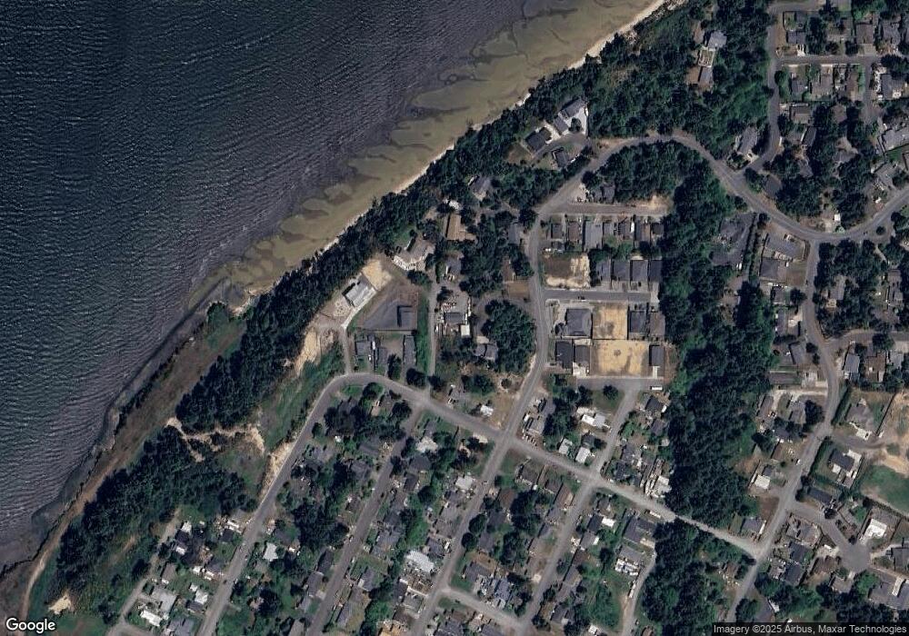
Map
Nearby Homes
- 620 John Ave
- 755 Edwards
- 736 Edwards Ave
- 765 Edwards
- 0 Division Ave
- 437 N Wasson St
- 903 Chickses Dr
- 0 N Morrison St
- 1120 Lakeshore Dr
- 0 N Cammann St
- 1066 Pirates Ct
- 283 N Main St
- 715 Jackson Ave
- 274 N Cammann St
- 242 N Wasson St
- 235 N Wall St
- 1366 Lakeshore Dr
- 161 N Cammann St
- 1220 Seagate St
- 1227 Seagate St
- 788 Patrick St
- 694 Lakeshore Dr
- 0 Patrick St
- 500 Edwards Ave
- 788 Patrick Ave
- 534 Taylor Ave
- 760 Lakeshore Dr
- 710 Patrick St
- 610 Taylor Ave
- 605 John Ave
- 0 John St
- 694 Patrick St
- 654 Taylor Ave
- 520 Taylor Ave
- 695 John Ave
- 589 N Wall
- 589 N Wall St
- 0 Lakeshore Dr Unit 20487091
- 0 Lakeshore Dr Unit 18014335
- 0 Lakeshore Dr Unit 8007577