Estimated Value: $1,833,000 - $2,714,000
3
Beds
4
Baths
2,160
Sq Ft
$1,132/Sq Ft
Est. Value
About This Home
This home is located at 795 Potato Patch Dr, Vail, CO 81657 and is currently estimated at $2,445,972, approximately $1,132 per square foot. 795 Potato Patch Dr is a home located in Eagle County with nearby schools including Red Sandstone Elementary School and Battle Mountain High School.
Ownership History
Date
Name
Owned For
Owner Type
Purchase Details
Closed on
Jan 8, 2026
Sold by
Koenig Sharon S
Bought by
Sharon S Koenig 2012 Irrevocable Trust
Current Estimated Value
Purchase Details
Closed on
Nov 6, 2025
Sold by
Koenig Gary T and Koenig Sharon S
Bought by
Koenig Sharon S
Purchase Details
Closed on
Sep 24, 2019
Sold by
Viola Randall W
Bought by
Koenig Gary T and Koenig Sharon S
Home Financials for this Owner
Home Financials are based on the most recent Mortgage that was taken out on this home.
Original Mortgage
$750,000
Interest Rate
2.9%
Purchase Details
Closed on
Sep 10, 2001
Sold by
Robert O & Barbara J Dowie Trust
Bought by
Viola Randall W
Purchase Details
Closed on
Jan 31, 1996
Create a Home Valuation Report for This Property
The Home Valuation Report is an in-depth analysis detailing your home's value as well as a comparison with similar homes in the area
Home Values in the Area
Average Home Value in this Area
Purchase History
| Date | Buyer | Sale Price | Title Company |
|---|---|---|---|
| Sharon S Koenig 2012 Irrevocable Trust | -- | None Listed On Document | |
| Sharon S Koenig 2012 Irrevocable Trust | -- | None Listed On Document | |
| Koenig Sharon S | -- | None Listed On Document | |
| Koenig Sharon S | -- | None Listed On Document | |
| Koenig Gary T | $1,279,000 | First American | |
| Koenig Gary T | $1,279,000 | First American | |
| Viola Randall W | $1,000,000 | Land Title | |
| Viola Randall W | $1,000,000 | Land Title | |
| -- | $618,000 | -- | |
| -- | $618,000 | -- |
Source: Public Records
Mortgage History
| Date | Status | Borrower | Loan Amount |
|---|---|---|---|
| Previous Owner | Koenig Gary T | $750,000 |
Source: Public Records
Tax History
| Year | Tax Paid | Tax Assessment Tax Assessment Total Assessment is a certain percentage of the fair market value that is determined by local assessors to be the total taxable value of land and additions on the property. | Land | Improvement |
|---|---|---|---|---|
| 2024 | $6,517 | $137,020 | $75,200 | $61,820 |
| 2023 | $6,517 | $137,020 | $75,200 | $61,820 |
| 2022 | $5,060 | $98,470 | $48,060 | $50,410 |
| 2021 | $5,210 | $101,300 | $49,440 | $51,860 |
| 2020 | $4,663 | $91,880 | $43,950 | $47,930 |
| 2019 | $4,678 | $91,880 | $43,950 | $47,930 |
| 2018 | $5,928 | $114,110 | $53,110 | $61,000 |
| 2017 | $5,899 | $114,110 | $53,110 | $61,000 |
| 2016 | $4,240 | $82,920 | $31,800 | $51,120 |
| 2015 | -- | $82,920 | $31,800 | $51,120 |
| 2014 | $4,075 | $86,680 | $36,700 | $49,980 |
Source: Public Records
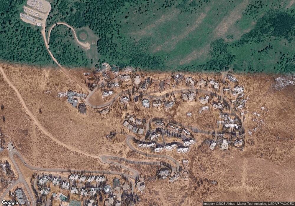
Map
Nearby Homes
- 770 Potato Patch Dr Unit 14
- 780 Potato Patch Dr
- 775 Potato Patch Dr Unit E
- 605 N Frontage Rd W Unit 14A
- 625 N Frontage Rd W Unit 22
- 945 Red Sandstone Rd Unit 5
- 548 S Frontage Rd E Unit 301
- 548 S Frontage Rd W Unit 201
- 980 Vail View Dr Unit 304
- 701 W Lionshead Cir Unit E307
- 701 W Lionshead Cir Unit W404
- 508 E Lionshead Cir Unit 604-49
- 508 E Lionshead Cir Unit 310/week 8
- 508 E Lionshead Cir Unit 214
- 508 E Lionshead Cir Unit 310/Week 23
- 508 E Lionshead Cir Unit 105
- 508 E Lionshead Cir Unit 503
- 508 E Lionshead Cir Unit 604/Week 9
- 508 E Lionshead Cir Unit 211/Weeks 15/16/17
- 508 E Lionshead Cir Unit 312/Weeks 8/9/10
- 795 Potato Patch Dr Unit A
- 795 Potato Patch Dr Unit B
- 797 Potato Patch Dr
- 793 Potato Patch Dr Unit B
- 793 Potato Patch Dr Unit A
- 793 Potato Patch Dr
- 767 Potato Patch Dr Unit 6
- 767 Potato Patch Dr Unit B
- 767 Potato Patch Dr Unit 4
- 767 Potato Patch Dr Unit 3
- 767 Potato Patch Dr Unit 2
- 767 Potato Patch Dr Unit 1
- 767 Potato Patch Dr
- 767 Potato Patch Dr Unit 5
- 767 Potato Patch Par Dr
- 799 Potato Patch Dr Unit B
- 799 Potato Patch Dr Unit A
- 799 Potato Patch Dr
- 791 Potato Patch Dr
- 767 Potato Patch Dr Unit 2
Your Personal Tour Guide
Ask me questions while you tour the home.