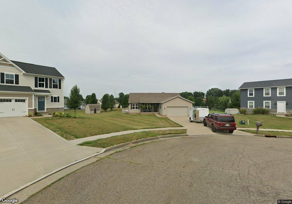
795 Thewes Cir Louisville, OH 44641
Estimated Value: $281,266 - $305,000
3
Beds
2
Baths
1,441
Sq Ft
$205/Sq Ft
Est. Value
About This Home
This home is located at 795 Thewes Cir, Louisville, OH 44641 and is currently estimated at $295,567, approximately $205 per square foot. 795 Thewes Cir is a home with nearby schools including Louisville High School and St. Thomas Aquinas High School & Middle School.
Ownership History
Date
Name
Owned For
Owner Type
Purchase Details
Closed on
May 31, 2011
Sold by
American Dreams Homes Llc
Bought by
Ervin Lisa R
Current Estimated Value
Home Financials for this Owner
Home Financials are based on the most recent Mortgage that was taken out on this home.
Original Mortgage
$175,550
Outstanding Balance
$130,617
Interest Rate
4.81%
Mortgage Type
Purchase Money Mortgage
Estimated Equity
$164,950
Create a Home Valuation Report for This Property
The Home Valuation Report is an in-depth analysis detailing your home's value as well as a comparison with similar homes in the area
Home Values in the Area
Average Home Value in this Area
Purchase History
| Date | Buyer | Sale Price | Title Company |
|---|---|---|---|
| Ervin Lisa R | $40,000 | Attorney | |
| American Dream Homes Llc | $28,000 | Attorney |
Source: Public Records
Mortgage History
| Date | Status | Borrower | Loan Amount |
|---|---|---|---|
| Open | Ervin Lisa R | $175,550 |
Source: Public Records
Tax History Compared to Growth
Tax History
| Year | Tax Paid | Tax Assessment Tax Assessment Total Assessment is a certain percentage of the fair market value that is determined by local assessors to be the total taxable value of land and additions on the property. | Land | Improvement |
|---|---|---|---|---|
| 2025 | -- | $90,510 | $22,820 | $67,690 |
| 2024 | -- | $90,510 | $22,820 | $67,690 |
| 2023 | $3,654 | $85,060 | $21,530 | $63,530 |
| 2022 | $3,661 | $85,060 | $21,530 | $63,530 |
| 2021 | $3,762 | $87,160 | $21,530 | $65,630 |
| 2020 | $3,108 | $78,230 | $19,390 | $58,840 |
| 2019 | $2,820 | $70,670 | $19,640 | $51,030 |
| 2018 | $2,810 | $70,670 | $19,640 | $51,030 |
| 2017 | $2,619 | $63,570 | $17,230 | $46,340 |
| 2016 | $2,673 | $63,570 | $17,230 | $46,340 |
| 2015 | $2,427 | $57,550 | $17,230 | $40,320 |
| 2014 | $259 | $49,780 | $14,920 | $34,860 |
| 2013 | $1,133 | $49,780 | $14,920 | $34,860 |
Source: Public Records
Map
Nearby Homes
- 1715 High St
- 1812 E Broad St
- 641 S Nickelplate St
- 2110 Edmar St
- 308 Superior St
- 520 S Silver St
- 2015 E Main St
- 0 Michigan Blvd
- 728 E Broad St
- 908 Sand Lot Cir
- 510 S Bauman Ct
- 204 E Broad St
- 107 E Broad St
- 325 Lincoln Ave
- 3390 Meese Rd NE
- 1170 Winding Ridge Ave
- 910 Crosswyck Cir
- 1702 View Pointe Ave
- 1639 Horizon Dr
- 428 Honeycrisp Dr NE