795 Willie West Rd Canton, GA 30114
Sutallee NeighborhoodEstimated Value: $335,000 - $689,000
3
Beds
2
Baths
1,368
Sq Ft
$355/Sq Ft
Est. Value
About This Home
This home is located at 795 Willie West Rd, Canton, GA 30114 and is currently estimated at $485,955, approximately $355 per square foot. 795 Willie West Rd is a home located in Cherokee County with nearby schools including J. Knox Elementary School, Teasley Middle School, and Cherokee High School.
Ownership History
Date
Name
Owned For
Owner Type
Purchase Details
Closed on
Apr 23, 2015
Sold by
Blanton Amy J
Bought by
Blanton Amy J and Blanton Richard Neal
Current Estimated Value
Purchase Details
Closed on
Feb 26, 2010
Sold by
Federal Natl Mtg Assn Fnma
Bought by
Padgett Amy J
Home Financials for this Owner
Home Financials are based on the most recent Mortgage that was taken out on this home.
Original Mortgage
$90,113
Interest Rate
4.97%
Mortgage Type
New Conventional
Purchase Details
Closed on
Aug 4, 2009
Sold by
Suntrust Mtg Inc
Bought by
Federal Natl Mtg Assn Fnma
Create a Home Valuation Report for This Property
The Home Valuation Report is an in-depth analysis detailing your home's value as well as a comparison with similar homes in the area
Home Values in the Area
Average Home Value in this Area
Purchase History
| Date | Buyer | Sale Price | Title Company |
|---|---|---|---|
| Blanton Amy J | -- | -- | |
| Padgett Amy J | -- | -- | |
| Federal Natl Mtg Assn Fnma | -- | -- | |
| Suntrust Mtg Inc | $175,892 | -- |
Source: Public Records
Mortgage History
| Date | Status | Borrower | Loan Amount |
|---|---|---|---|
| Previous Owner | Padgett Amy J | $90,113 |
Source: Public Records
Tax History Compared to Growth
Tax History
| Year | Tax Paid | Tax Assessment Tax Assessment Total Assessment is a certain percentage of the fair market value that is determined by local assessors to be the total taxable value of land and additions on the property. | Land | Improvement |
|---|---|---|---|---|
| 2024 | $3,214 | $123,676 | $27,560 | $96,116 |
| 2023 | $3,257 | $125,328 | $27,560 | $97,768 |
| 2022 | $2,562 | $97,460 | $27,560 | $69,900 |
| 2021 | $1,806 | $63,632 | $11,560 | $52,072 |
| 2020 | $1,837 | $64,664 | $11,560 | $53,104 |
| 2019 | $1,805 | $63,520 | $11,560 | $51,960 |
| 2018 | $1,822 | $63,720 | $11,560 | $52,160 |
| 2017 | $1,867 | $162,000 | $11,560 | $53,240 |
| 2016 | $1,748 | $150,100 | $9,920 | $50,120 |
| 2015 | $1,759 | $149,600 | $8,680 | $51,160 |
| 2014 | $960 | $81,500 | $8,240 | $24,360 |
Source: Public Records
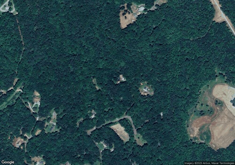
Map
Nearby Homes
- 0 Willie Rd W Unit 7502503
- 259 Gramling Trail
- 933 Mount Carmel Church Ln
- 1 Cason Dr
- 3720 Knox Bridge Hwy
- 327 Red Fox Dr
- 2841 Upper Sweetwater Trail SE
- 919 Fields Chapel Rd
- 128 Brookfield Ct SE
- 551 Harvey Fields Rd
- 1997 Fincher Rd
- 550 Spring Lake Creek
- 427 Spring Lake Hills
- 408 Gray Fox Dr
- 100 Oakwind Pkwy
- 412 Gray Fox Dr
- 125 Spring Lake Trail
- 815 Willie West Rd
- 833 Willie West Rd
- 755 Willie Rd W
- 755 Willie West Rd
- 735 Willie West Rd
- 684 Willie Rd W
- 684 Willie West Rd
- 425 Colmer Rd
- 675 Willie West Rd
- 675 Willie West Rd
- 895 Willie West Rd
- 1620 Mount Carmel Church Ln
- 423 Colmer Rd
- 435 Colmer Rd
- 680 Willie West Rd
- 680 Willie West Rd
- 585 Willie West Rd
- 535 Willie West Rd
- 1230 Mount Carmel Church Ln
- 1254 Mount Carmel Church Ln