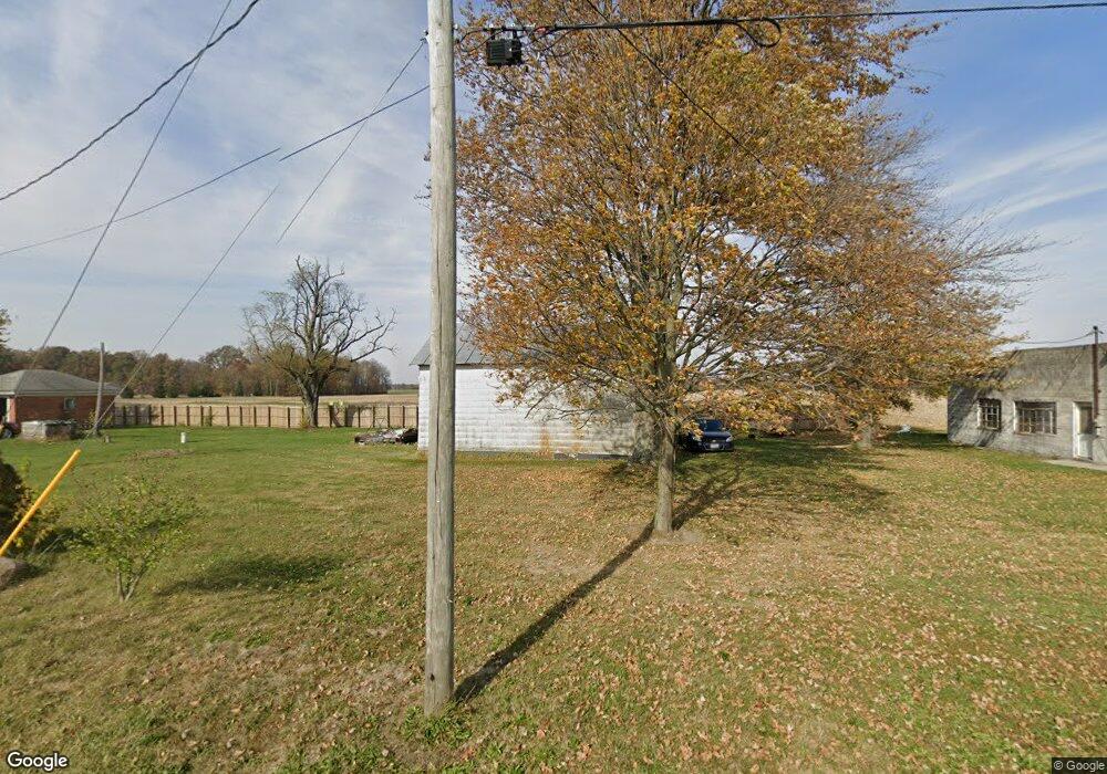
7950 Tucker Rd Delphos, OH 45833
Estimated Value: $161,459 - $196,000
2
Beds
1
Bath
1,440
Sq Ft
$125/Sq Ft
Est. Value
About This Home
This home is located at 7950 Tucker Rd, Delphos, OH 45833 and is currently estimated at $179,615, approximately $124 per square foot. 7950 Tucker Rd is a home located in Allen County with nearby schools including Elida Elementary School, Elida Middle School, and Elida High School.
Ownership History
Date
Name
Owned For
Owner Type
Purchase Details
Closed on
Nov 5, 2018
Sold by
Tucker Alison K
Bought by
Tucker Devon M
Current Estimated Value
Purchase Details
Closed on
Jul 1, 1972
Bought by
Tucker Gerald E
Create a Home Valuation Report for This Property
The Home Valuation Report is an in-depth analysis detailing your home's value as well as a comparison with similar homes in the area
Home Values in the Area
Average Home Value in this Area
Purchase History
| Date | Buyer | Sale Price | Title Company |
|---|---|---|---|
| Tucker Devon M | -- | None Available | |
| Tucker Gerald E | $7,500 | -- |
Source: Public Records
Tax History Compared to Growth
Tax History
| Year | Tax Paid | Tax Assessment Tax Assessment Total Assessment is a certain percentage of the fair market value that is determined by local assessors to be the total taxable value of land and additions on the property. | Land | Improvement |
|---|---|---|---|---|
| 2024 | $1,609 | $40,640 | $10,500 | $30,140 |
| 2023 | $1,331 | $31,260 | $8,090 | $23,170 |
| 2022 | $1,362 | $31,260 | $8,090 | $23,170 |
| 2021 | $1,370 | $31,260 | $8,090 | $23,170 |
| 2020 | $1,320 | $28,350 | $7,420 | $20,930 |
| 2019 | $1,320 | $28,350 | $7,420 | $20,930 |
| 2018 | $1,252 | $28,350 | $7,420 | $20,930 |
| 2017 | $1,173 | $26,460 | $7,420 | $19,040 |
| 2016 | $1,174 | $26,460 | $7,420 | $19,040 |
| 2015 | $1,149 | $26,460 | $7,420 | $19,040 |
| 2014 | $1,149 | $24,780 | $7,140 | $17,640 |
| 2013 | $1,113 | $24,780 | $7,140 | $17,640 |
Source: Public Records
Map
Nearby Homes
- 1784 Woodberry Creek Dr
- 5825 Poling Rd
- 1734 Woodberry Creek Dr
- 3838 Kemp Rd N
- 5280 Lobo St
- 1069 S Kemp Rd
- 2733 Lilly Dr
- 5103 Hummingbird St
- 5126 Pheasant St
- 2922 Dutch Hollow Rd
- 6726 Elida Rd
- 4917 Pheasant St
- 4901 Hummingbird St
- 200 Fraunfelter Rd S
- 213 Johns Ave
- 251 Timberfield Dr N
- 2048 Morning Glory Dr
- 4723 Amaryllis St
- 4540 East Rd
- 845 Atalan Trail
- 1534 Mcbride Rd
- 1331 Mcbride Rd
- 1701 Mcbride Rd
- 1705 Mcbride Rd
- 7570 Baxter Rd
- 7570 Tucker Rd
- 1111 Mcbride Rd
- 1071 Mcbride Rd
- 7977 Allentown Rd
- 7777 Zion Church Rd
- 7777 Allentown Rd
- 694 N Wapak Rd
- 7635 Zion Church Rd
- 0000 Grubb Zion Church Rd
- 7613 Zion Church Rd
- 7615 Zion Church Rd
- 7651 Allentown Rd
- 8405 Zion Church Rd
- 7530 Allentown Rd