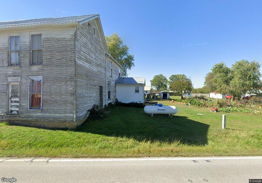
7953 State Route 753 S Greenfield, OH 45123
Estimated Value: $58,251 - $282,000
5
Beds
1
Bath
2,256
Sq Ft
$72/Sq Ft
Est. Value
About This Home
This home is located at 7953 State Route 753 S, Greenfield, OH 45123 and is currently estimated at $162,063, approximately $71 per square foot. 7953 State Route 753 S is a home with nearby schools including McClain High School.
Ownership History
Date
Name
Owned For
Owner Type
Purchase Details
Closed on
Aug 7, 2019
Sold by
Underwood Blaise
Bought by
Mcgraw Ed
Current Estimated Value
Purchase Details
Closed on
Jun 30, 2016
Sold by
Wright Donnie
Bought by
Mcgraw Ed
Purchase Details
Closed on
May 5, 1998
Sold by
Howard Jennie
Bought by
Mcgraw Patty
Purchase Details
Closed on
Jan 1, 1990
Bought by
Howard George and Howard Jennie
Create a Home Valuation Report for This Property
The Home Valuation Report is an in-depth analysis detailing your home's value as well as a comparison with similar homes in the area
Home Values in the Area
Average Home Value in this Area
Purchase History
| Date | Buyer | Sale Price | Title Company |
|---|---|---|---|
| Mcgraw Ed | $15,000 | None Available | |
| Mcgraw Ed | $15,000 | None Available | |
| Mcgraw Patty | $10,000 | -- | |
| Howard George | -- | -- |
Source: Public Records
Tax History Compared to Growth
Tax History
| Year | Tax Paid | Tax Assessment Tax Assessment Total Assessment is a certain percentage of the fair market value that is determined by local assessors to be the total taxable value of land and additions on the property. | Land | Improvement |
|---|---|---|---|---|
| 2024 | $165 | $15,160 | $5,600 | $9,560 |
| 2023 | $165 | $9,770 | $4,970 | $4,800 |
| 2022 | $35 | $9,770 | $4,970 | $4,800 |
| 2021 | $33 | $9,770 | $4,970 | $4,800 |
| 2020 | $1 | $8,120 | $4,130 | $3,990 |
| 2019 | $1 | $7,810 | $3,820 | $3,990 |
| 2018 | $1 | $7,810 | $3,820 | $3,990 |
| 2017 | $8 | $5,710 | $3,820 | $1,890 |
| 2016 | $434 | $5,710 | $3,820 | $1,890 |
| 2015 | $2,056 | $12,330 | $3,820 | $8,510 |
| 2014 | $477 | $12,330 | $3,820 | $8,510 |
| 2013 | $783 | $12,330 | $3,820 | $8,510 |
Source: Public Records
Map
Nearby Homes
- 12977 U S 50
- 6838 McCoppin Mill Rd
- 6935 Laura Blvd
- 7094 Cedar Trail
- 0 Martha Dr Unit 1857951
- 0.459ac Lakefront Dr
- 11850 Maple Trail
- 11245 Karnes Rd
- 6749 Loch Lomond Cir
- 11515 Dundee Dr
- 7069 Forest Cove Cir
- 6949 Highland Trail W Unit TLW
- acres +- N Beach Rd
- 61 Maple Dr
- 355 Maple Dr
- 0 Maple Dr Unit 1841507
- 0 Overman Rd Unit 1837015
- ac Overman Rd
- 14703 Brier Rd
- 7196 Cathy Rd
- 7591 Church St
- 7596 Church St
- 7590 Church St
- 7578 Church St
- 12879 Us Rt 50
- 7579 Church St
- 5016 Ohio 753
- 12861 Us Rt 50
- 7573 Church St
- 12905 Us Highway 50 W
- 12845 U S 50
- 12911 Us Highway 50 W
- 12870 U S 50
- 7579 West St
- 12819 Us Highway 50
- 12838 Us Highway 50
- 12835 Us Highway 50
- 12860 Us Highway 50
- 12870 Us Highway 50
- 12845 Us Highway 50