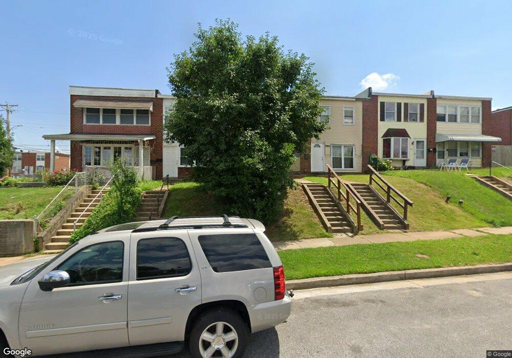
7955 Lansdale Rd Baltimore, MD 21224
Estimated Value: $119,000 - $150,000
Studio
1
Bath
1,024
Sq Ft
$134/Sq Ft
Est. Value
About This Home
This home is located at 7955 Lansdale Rd, Baltimore, MD 21224 and is currently estimated at $137,455, approximately $134 per square foot. 7955 Lansdale Rd is a home located in Baltimore County with nearby schools including Colgate Elementary, Holabird Middle School, and Dundalk High School.
Ownership History
Date
Name
Owned For
Owner Type
Purchase Details
Closed on
Jun 17, 2022
Sold by
Bohctab Ventures Inc
Bought by
Hearn Mckenna T
Current Estimated Value
Home Financials for this Owner
Home Financials are based on the most recent Mortgage that was taken out on this home.
Original Mortgage
$48,600
Outstanding Balance
$46,235
Interest Rate
5.25%
Mortgage Type
New Conventional
Estimated Equity
$91,220
Purchase Details
Closed on
May 11, 1999
Sold by
Dotson Floyd E
Bought by
Bohctab Ventures Inc
Create a Home Valuation Report for This Property
The Home Valuation Report is an in-depth analysis detailing your home's value as well as a comparison with similar homes in the area
Home Values in the Area
Average Home Value in this Area
Purchase History
| Date | Buyer | Sale Price | Title Company |
|---|---|---|---|
| Hearn Mckenna T | $64,800 | Goldstar Title | |
| Bohctab Ventures Inc | $34,500 | -- |
Source: Public Records
Mortgage History
| Date | Status | Borrower | Loan Amount |
|---|---|---|---|
| Open | Hearn Mckenna T | $48,600 |
Source: Public Records
Tax History
| Year | Tax Paid | Tax Assessment Tax Assessment Total Assessment is a certain percentage of the fair market value that is determined by local assessors to be the total taxable value of land and additions on the property. | Land | Improvement |
|---|---|---|---|---|
| 2025 | $2,008 | $102,700 | -- | -- |
| 2024 | $2,008 | $96,700 | $0 | $0 |
| 2023 | $1,939 | $90,700 | $40,000 | $50,700 |
| 2022 | $1,921 | $87,733 | $0 | $0 |
| 2021 | $972 | $84,767 | $0 | $0 |
| 2020 | $991 | $81,800 | $40,000 | $41,800 |
| 2019 | $982 | $81,000 | $0 | $0 |
| 2018 | $1,678 | $80,200 | $0 | $0 |
| 2017 | $1,411 | $79,400 | $0 | $0 |
| 2016 | $2,066 | $78,633 | $0 | $0 |
| 2015 | $2,066 | $77,867 | $0 | $0 |
| 2014 | $2,066 | $77,100 | $0 | $0 |
Source: Public Records
Map
Nearby Homes
- 8013 Gough St
- 8019 Gough St
- 8031 Bank St
- 7906 Wynbrook Rd
- 8049 Lansdale Rd
- 7956 Eastdale Rd
- 7820 Wynbrook Rd
- 7746 Eastdale Rd
- 619 N Point Rd
- 7627 Carson Ave
- 7515 Belmont Ave
- 7506 Belmont Ave
- 7503 Cypress Ave
- 7503 Riddle Ave
- 7316 Conley St
- 7412 Belmont Ave
- 7307 Conley St
- 472 Mirabile Ln
- 7428 Poplar Ave
- 462 Mirabile Ln
- 7957 Lansdale Rd
- 7953 Lansdale Rd
- 7951 Lansdale Rd
- 7959 Lansdale Rd
- 7949 Lansdale Rd
- 7947 Lansdale Rd
- 7945 Lansdale Rd
- 7943 Lansdale Rd
- 7950 Bank St
- 7954 Bank St
- 7948 Bank St
- 7941 Lansdale Rd
- 7956 Bank St
- 7946 Bank St
- 8001 Lansdale Rd
- 7939 Lansdale Rd
- 7944 Bank St
- 8003 Lansdale Rd
- 7942 Bank St
- 7937 Lansdale Rd
Your Personal Tour Guide
Ask me questions while you tour the home.