7955 W Hayes Rd Shelby, MI 49455
Estimated Value: $208,000 - $396,000
4
Beds
2
Baths
2,455
Sq Ft
$114/Sq Ft
Est. Value
About This Home
This home is located at 7955 W Hayes Rd, Shelby, MI 49455 and is currently estimated at $278,752, approximately $113 per square foot. 7955 W Hayes Rd is a home located in Oceana County with nearby schools including Shelby High School.
Ownership History
Date
Name
Owned For
Owner Type
Purchase Details
Closed on
May 31, 2019
Sold by
Vanette Robert A and Robert A Vanette Trust
Bought by
Henry James J
Current Estimated Value
Home Financials for this Owner
Home Financials are based on the most recent Mortgage that was taken out on this home.
Original Mortgage
$117,375
Outstanding Balance
$103,201
Interest Rate
4.1%
Mortgage Type
New Conventional
Estimated Equity
$175,551
Purchase Details
Closed on
May 18, 2017
Sold by
Vannette Robert and Vannette Sue I
Bought by
Vannette Robert A
Create a Home Valuation Report for This Property
The Home Valuation Report is an in-depth analysis detailing your home's value as well as a comparison with similar homes in the area
Home Values in the Area
Average Home Value in this Area
Purchase History
| Date | Buyer | Sale Price | Title Company |
|---|---|---|---|
| Henry James J | $156,500 | None Available | |
| The Robert A Vannette Trust | -- | None Available | |
| Vannette Robert A | -- | None Available |
Source: Public Records
Mortgage History
| Date | Status | Borrower | Loan Amount |
|---|---|---|---|
| Open | Henry James J | $117,375 |
Source: Public Records
Tax History Compared to Growth
Tax History
| Year | Tax Paid | Tax Assessment Tax Assessment Total Assessment is a certain percentage of the fair market value that is determined by local assessors to be the total taxable value of land and additions on the property. | Land | Improvement |
|---|---|---|---|---|
| 2025 | $2,575 | $76,400 | $2,700 | $73,700 |
| 2024 | $665 | $74,200 | $2,400 | $71,800 |
| 2023 | $2,253 | $63,400 | $7,400 | $56,000 |
| 2022 | $2,253 | $56,400 | $0 | $0 |
| 2021 | $2,251 | $51,500 | $6,700 | $44,800 |
| 2020 | $2,123 | $49,100 | $49,100 | $0 |
| 2019 | $1,323 | $47,500 | $0 | $0 |
| 2018 | $1,292 | $39,400 | $0 | $0 |
| 2017 | $1,226 | $38,500 | $0 | $0 |
| 2016 | -- | $31,700 | $0 | $0 |
| 2013 | -- | $27,200 | $0 | $0 |
Source: Public Records
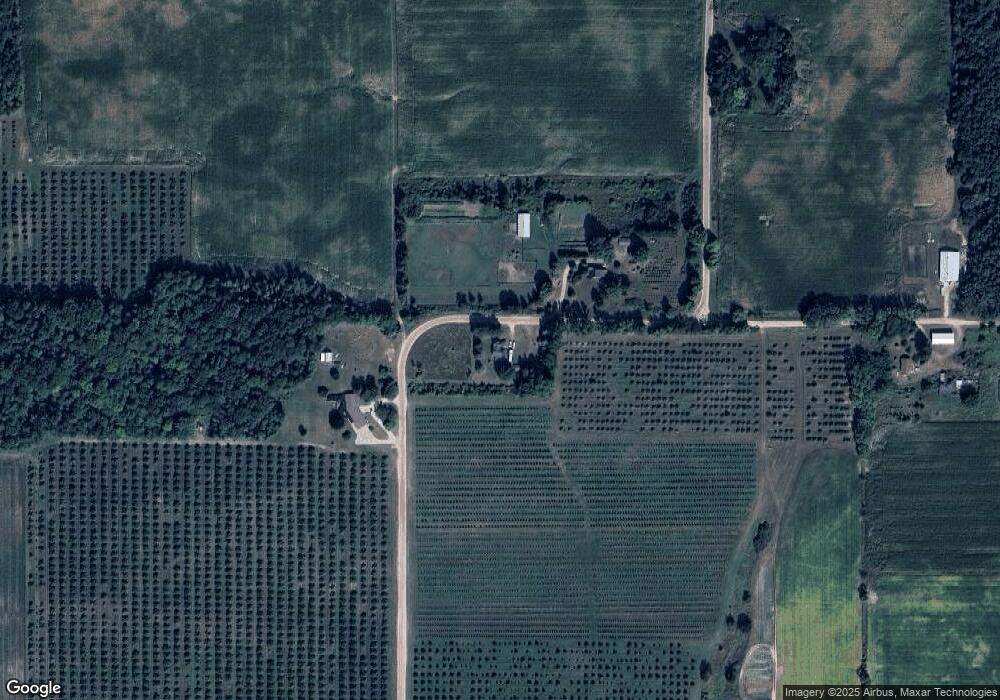
Map
Nearby Homes
- 0 Ohio St
- 8367 W Stony Lake Rd
- VL S 40th Ave
- 9043 W Thomas St
- 4566 S Lakeview Dr
- 5321 S 36th Ave
- 9415 Erie Trail
- 2509 S 40th Ave
- 4069 Ottawa Trail
- 0 Johnson Ave Unit 24009829
- 2167 S 32nd Ave Unit Parcel B
- 2167 S 32nd Ave Unit Parcel A
- V/L S 48th Ave
- 0 S 32nd Ave
- 2087 S Glen Rd
- V/L W Woodrow Rd
- 10 Acres W Arthur Rd
- 2225 Apache Dr
- 1935 S Glen Rd
- 1010 S 42nd Ave
- 7880 W Hayes Rd
- V/L W Hayes Rd
- 7755 W Hayes Rd
- 0 S 34th Ave
- V/L 54 A S 34th Ave
- 54 S 34th Ave
- 8220 W Stone Rd
- 7846 Ohio St
- 3920 S 34th Ave
- 7816 Ohio St
- 7940 Ohio St
- 7849 Ohio St
- 3950 S 28th Ave
- 3950 S 28th Ave
- 7910 Florida St
- 7819 Ohio St
- 5330 W Stone Rd
- 7892 Florida St
- 8390 W Stone Rd
- 7890 Wisconsin St