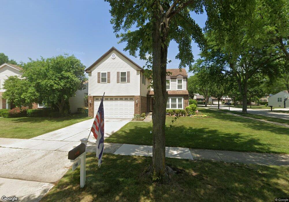
796 Dannet Rd Buffalo Grove, IL 60089
Prairie Park-Lake County NeighborhoodEstimated Value: $513,000 - $587,000
Studio
3
Baths
2,340
Sq Ft
$230/Sq Ft
Est. Value
About This Home
This home is located at 796 Dannet Rd, Buffalo Grove, IL 60089 and is currently estimated at $539,277, approximately $230 per square foot. 796 Dannet Rd is a home located in Lake County with nearby schools including Prairie Elementary School, Twin Groves Middle School, and Adlai E Stevenson High School.
Ownership History
Date
Name
Owned For
Owner Type
Purchase Details
Closed on
Aug 4, 2000
Sold by
Buchwald Thomas J and Buchwald Carrie A
Bought by
Tzuoo Dahann and Ng Doris
Current Estimated Value
Home Financials for this Owner
Home Financials are based on the most recent Mortgage that was taken out on this home.
Original Mortgage
$193,600
Outstanding Balance
$68,462
Interest Rate
7.87%
Estimated Equity
$470,815
Purchase Details
Closed on
Jun 6, 1997
Sold by
Ho Lily L
Bought by
Buchwald Thomas J and Buchwald Carrie A
Home Financials for this Owner
Home Financials are based on the most recent Mortgage that was taken out on this home.
Original Mortgage
$180,000
Interest Rate
8.01%
Create a Home Valuation Report for This Property
The Home Valuation Report is an in-depth analysis detailing your home's value as well as a comparison with similar homes in the area
Home Values in the Area
Average Home Value in this Area
Purchase History
| Date | Buyer | Sale Price | Title Company |
|---|---|---|---|
| Tzuoo Dahann | $242,000 | -- | |
| Buchwald Thomas J | $200,000 | -- |
Source: Public Records
Mortgage History
| Date | Status | Borrower | Loan Amount |
|---|---|---|---|
| Open | Tzuoo Dahann | $193,600 | |
| Previous Owner | Buchwald Thomas J | $180,000 |
Source: Public Records
Tax History
| Year | Tax Paid | Tax Assessment Tax Assessment Total Assessment is a certain percentage of the fair market value that is determined by local assessors to be the total taxable value of land and additions on the property. | Land | Improvement |
|---|---|---|---|---|
| 2024 | $15,078 | $164,258 | $32,345 | $131,913 |
| 2023 | $14,280 | $154,990 | $30,520 | $124,470 |
| 2022 | $14,280 | $142,951 | $28,149 | $114,802 |
| 2021 | $13,739 | $141,409 | $27,845 | $113,564 |
| 2020 | $13,416 | $141,891 | $27,940 | $113,951 |
| 2019 | $13,231 | $141,368 | $27,837 | $113,531 |
| 2018 | $12,528 | $138,252 | $27,511 | $110,741 |
| 2017 | $12,291 | $135,025 | $26,869 | $108,156 |
| 2016 | $11,971 | $129,297 | $25,729 | $103,568 |
| 2015 | $11,657 | $120,918 | $24,062 | $96,856 |
| 2014 | $10,624 | $109,230 | $25,842 | $83,388 |
| 2012 | $9,353 | $109,449 | $25,894 | $83,555 |
Source: Public Records
Map
Nearby Homes
- 1265 Devonshire Rd
- 1234 Devonshire Rd
- 1361 Brandywyn Ln
- 1318 Gail Dr Unit 4
- 962 Thompson Blvd
- 1380 Larchmont Dr
- 327 Lasalle Ln
- 1152 Courtland Dr Unit 406
- 5176 Aptakisic Rd
- 531 Lasalle Ln
- 1161 Parker Ln
- 5152 Bridlewood Ln
- 5107 N Arlington Heights Rd
- 810 Silver Rock Ln
- 5135 Bridlewood Ct
- 533 Lyon Dr
- 1265 Franklin Ln Unit L1
- 938 Hidden Lake Dr
- 1096 Pine Tree Cir N
- 126 Autumn Ct Unit CT76021
- 800 Dannet Rd
- 1264 Dayton Rd
- 1300 Devonshire Rd
- 804 Dannet Rd
- 1245 Dayton Rd
- 797 Dannet Rd Unit 1
- 1255 Dayton Rd
- 1302 Devonshire Rd
- 1235 Dayton Rd
- 808 Dannet Rd
- 1265 Dayton Rd
- 801 Dannet Rd
- 1225 Dayton Rd
- 1304 Devonshire Rd
- 1214 Dayton Rd
- 805 Dannet Rd
- 1215 Dayton Rd
- 812 Dannet Rd
- 1254 Devonshire Rd
- 1244 Devonshire Rd
Your Personal Tour Guide
Ask me questions while you tour the home.