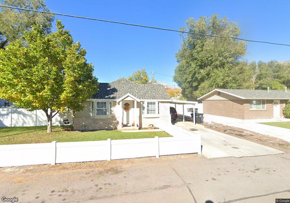
796 W 1200 N Provo, UT 84604
Rivergrove NeighborhoodEstimated Value: $353,000 - $434,000
3
Beds
2
Baths
952
Sq Ft
$403/Sq Ft
Est. Value
About This Home
This home is located at 796 W 1200 N, Provo, UT 84604 and is currently estimated at $383,369, approximately $402 per square foot. 796 W 1200 N is a home located in Utah County with nearby schools including Westridge Elementary School, Dixon Middle School, and Provo High School.
Ownership History
Date
Name
Owned For
Owner Type
Purchase Details
Closed on
May 5, 2014
Sold by
Sims Andrew Charles and Sims Summer Lee
Bought by
Carmack Family Trust
Current Estimated Value
Purchase Details
Closed on
Nov 24, 2009
Sold by
Sims Andrew C and Sims Summer L
Bought by
Sims Andrew Charles and Sims Summer Lee
Home Financials for this Owner
Home Financials are based on the most recent Mortgage that was taken out on this home.
Original Mortgage
$155,365
Interest Rate
4.88%
Mortgage Type
FHA
Purchase Details
Closed on
Apr 20, 2007
Sold by
Holmes Brandon G and Holmes Elizabeth
Bought by
Sims Andrew C and Sims Summer L
Home Financials for this Owner
Home Financials are based on the most recent Mortgage that was taken out on this home.
Original Mortgage
$150,100
Interest Rate
6.1%
Mortgage Type
Purchase Money Mortgage
Create a Home Valuation Report for This Property
The Home Valuation Report is an in-depth analysis detailing your home's value as well as a comparison with similar homes in the area
Home Values in the Area
Average Home Value in this Area
Purchase History
| Date | Buyer | Sale Price | Title Company |
|---|---|---|---|
| Carmack Family Trust | -- | First American Title Co Llc | |
| Sims Andrew Charles | -- | Commerce Land Title Incorpo | |
| Sims Andrew C | -- | Wasatch Land & Title |
Source: Public Records
Mortgage History
| Date | Status | Borrower | Loan Amount |
|---|---|---|---|
| Previous Owner | Sims Andrew Charles | $155,365 | |
| Previous Owner | Sims Andrew C | $150,100 |
Source: Public Records
Tax History Compared to Growth
Tax History
| Year | Tax Paid | Tax Assessment Tax Assessment Total Assessment is a certain percentage of the fair market value that is determined by local assessors to be the total taxable value of land and additions on the property. | Land | Improvement |
|---|---|---|---|---|
| 2025 | $1,709 | $187,440 | $147,200 | $193,600 |
| 2024 | $1,709 | $168,245 | $0 | $0 |
| 2023 | $1,675 | $162,525 | $0 | $0 |
| 2022 | $1,868 | $182,820 | $0 | $0 |
| 2021 | $1,405 | $239,800 | $93,400 | $146,400 |
| 2020 | $1,363 | $218,000 | $84,900 | $133,100 |
| 2019 | $1,206 | $200,600 | $84,900 | $115,700 |
| 2018 | $1,062 | $179,200 | $78,600 | $100,600 |
| 2017 | $948 | $87,945 | $0 | $0 |
| 2016 | $907 | $78,375 | $0 | $0 |
| 2015 | $858 | $74,965 | $0 | $0 |
| 2014 | $751 | $68,420 | $0 | $0 |
Source: Public Records
Map
Nearby Homes
- 1254 N 800 W
- 1149 N 850 W
- 1250 Jordan Ave
- 952 N 1000 W Unit 2
- 1500 Jordan Ave
- 1188 W 1380 N
- 1104 N 1220 W
- 920 W Columbia Ln
- 1633 Woodland Dr
- 1559 N Riverside Ave Unit 4
- 1661 Willowbrook Dr
- 828 N 600 W
- 1685 Hickory Ln
- 810 N 600 W
- 556 W 800 N Unit 18
- 1763 Willowbrook Dr Unit 4D1
- 620 N 800 W
- 630 N 1100 W
- 1471 W 1460 N
- 595 N 600 W