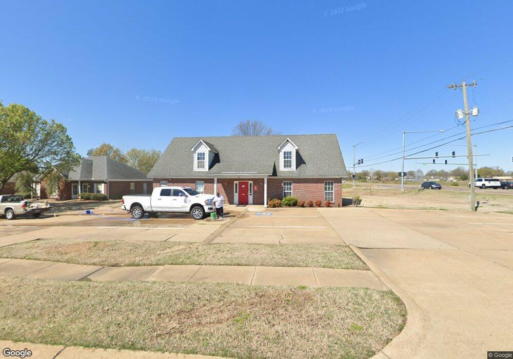
796 W Broadway St West Memphis, AR 72301
Estimated Value: $257,958
--
Bed
--
Bath
1,904
Sq Ft
$135/Sq Ft
Est. Value
About This Home
This home is located at 796 W Broadway St, West Memphis, AR 72301 and is currently estimated at $257,958, approximately $135 per square foot. 796 W Broadway St is a home located in Crittenden County with nearby schools including Faulk Elementary School, Wonder Junior High School, and The Academies of West Memphis Charter School.
Ownership History
Date
Name
Owned For
Owner Type
Purchase Details
Closed on
Oct 20, 2020
Sold by
Brawley Eddie E
Bought by
Fred Leonard Properties Llc
Current Estimated Value
Home Financials for this Owner
Home Financials are based on the most recent Mortgage that was taken out on this home.
Original Mortgage
$160,000
Outstanding Balance
$2,854
Interest Rate
2.8%
Mortgage Type
Commercial
Estimated Equity
$255,104
Purchase Details
Closed on
Nov 1, 1986
Bought by
Brawley Eddie E
Create a Home Valuation Report for This Property
The Home Valuation Report is an in-depth analysis detailing your home's value as well as a comparison with similar homes in the area
Home Values in the Area
Average Home Value in this Area
Purchase History
| Date | Buyer | Sale Price | Title Company |
|---|---|---|---|
| Fred Leonard Properties Llc | $200,000 | Stewart Title | |
| Fred Leonard Properties Llc | $200,000 | Stewart Title | |
| Brawley Eddie E | $8,000 | -- |
Source: Public Records
Mortgage History
| Date | Status | Borrower | Loan Amount |
|---|---|---|---|
| Open | Fred Leonard Properties Llc | $160,000 |
Source: Public Records
Tax History Compared to Growth
Tax History
| Year | Tax Paid | Tax Assessment Tax Assessment Total Assessment is a certain percentage of the fair market value that is determined by local assessors to be the total taxable value of land and additions on the property. | Land | Improvement |
|---|---|---|---|---|
| 2024 | $2,151 | $44,850 | $9,650 | $35,200 |
| 2023 | $2,151 | $44,850 | $9,650 | $35,200 |
| 2022 | $2,151 | $44,850 | $9,650 | $35,200 |
| 2021 | $2,151 | $44,850 | $9,650 | $35,200 |
| 2020 | $1,720 | $44,850 | $9,650 | $35,200 |
| 2019 | $1,305 | $34,530 | $7,020 | $27,510 |
| 2018 | $1,399 | $34,530 | $7,020 | $27,510 |
| 2017 | $1,399 | $34,530 | $7,020 | $27,510 |
| 2016 | $1,399 | $34,530 | $7,020 | $27,510 |
| 2015 | $1,324 | $34,530 | $7,020 | $27,510 |
| 2014 | $1,205 | $29,420 | $7,020 | $22,400 |
Source: Public Records
Map
Nearby Homes
- 765 Dogwood Cove
- 522 Lois Marie Cove
- 302 Georgetown Dr
- 503 W Oliver Ave
- 503 Tulane Dr
- 511 W Cooper Ave
- 402 Oxford St
- 501 W Cooper Ave
- 501 Oxford St
- 807 W Barton Ave
- 607 W Barton Ave
- 323 W Oliver Ave
- 320 W Cooper Ave
- 623 S Roselawn Dr
- 402 Brentwood Dr
- 909 Rosewood Dr
- 806 W Walnut Dr
- 811 Maple Dr
- 408 Brentwood Dr
- 101 Country Club Rd
- 725 Dogwood Cove
- 727 Dogwood Cove
- 723 Dogwood Cove
- 710 Calvin Avery Dr
- 729 Dogwood Cove
- 721 Dogwood Cove
- 703 Calvin Avery Dr
- 719 Dogwood Cove
- 708 Calvin Avery Dr Unit A
- 717 Dogwood Cove
- 731 Dogwood Cove
- 715 Dogwood Cove
- 706 Calvin Avery Dr
- 713 Dogwood Cove
- 733 Dogwood Cove
- 732 Dogwood Cove
- 711 Dogwood Cove
- 720 Dogwood Cove
- 709 Dogwood Cove
- 735 Dogwood Cove