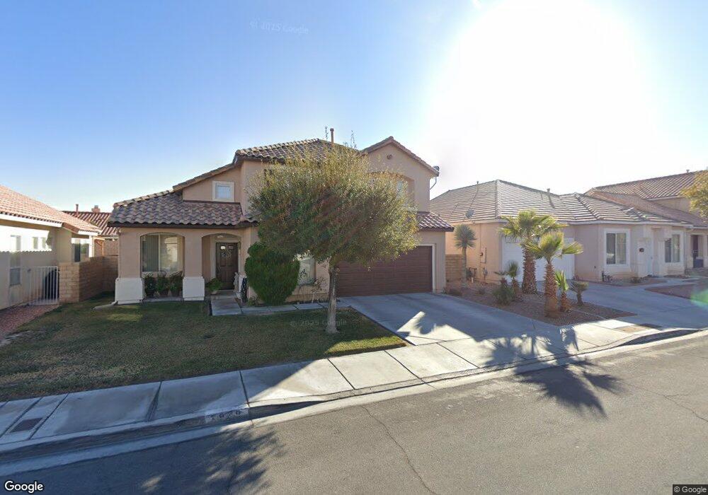
7966 Canto Ave Las Vegas, NV 89147
Rancho Viejo NeighborhoodEstimated Value: $403,000 - $436,000
2
Beds
2
Baths
1,303
Sq Ft
$319/Sq Ft
Est. Value
About This Home
This home is located at 7966 Canto Ave, Las Vegas, NV 89147 and is currently estimated at $415,700, approximately $319 per square foot. 7966 Canto Ave is a home located in Clark County with nearby schools including Frank Kim Elementary School, Clifford J Lawrence Junior High School, and Durango High School.
Ownership History
Date
Name
Owned For
Owner Type
Purchase Details
Closed on
Jul 16, 2015
Sold by
Lumb Myrna L B
Bought by
Bennett David C
Current Estimated Value
Purchase Details
Closed on
Apr 11, 2002
Sold by
Lumb Myrna L B
Bought by
Lumb Myrna L B
Purchase Details
Closed on
Mar 26, 2002
Sold by
Lumb Myrna L B
Bought by
Lumb Myrna L B
Purchase Details
Closed on
Sep 4, 2000
Sold by
Lumb George J and Lumb Myrna L B
Bought by
Lumb George J and Lumb Myrna L B
Create a Home Valuation Report for This Property
The Home Valuation Report is an in-depth analysis detailing your home's value as well as a comparison with similar homes in the area
Home Values in the Area
Average Home Value in this Area
Purchase History
| Date | Buyer | Sale Price | Title Company |
|---|---|---|---|
| Bennett David C | -- | None Available | |
| Lumb Myrna L B | -- | -- | |
| Lumb Myrna L B | -- | -- | |
| Lumb George J | -- | -- |
Source: Public Records
Tax History Compared to Growth
Tax History
| Year | Tax Paid | Tax Assessment Tax Assessment Total Assessment is a certain percentage of the fair market value that is determined by local assessors to be the total taxable value of land and additions on the property. | Land | Improvement |
|---|---|---|---|---|
| 2025 | $2,130 | $89,079 | $38,850 | $50,229 |
| 2024 | $2,130 | $89,079 | $38,850 | $50,229 |
| 2023 | $2,130 | $84,025 | $36,050 | $47,975 |
| 2022 | $2,156 | $76,782 | $32,550 | $44,232 |
| 2021 | $2,261 | $70,902 | $28,700 | $42,202 |
| 2020 | $1,610 | $68,954 | $26,950 | $42,004 |
| 2019 | $1,509 | $68,165 | $26,600 | $41,565 |
| 2018 | $1,440 | $61,424 | $21,000 | $40,424 |
| 2017 | $1,815 | $61,183 | $20,650 | $40,533 |
| 2016 | $1,364 | $57,108 | $16,450 | $40,658 |
| 2015 | $1,323 | $50,954 | $11,900 | $39,054 |
| 2014 | -- | $43,000 | $11,200 | $31,800 |
Source: Public Records
Map
Nearby Homes
- 7936 Canto Ave
- 7962 Kinsella Way
- 8083 Shadowvale Dr
- 4721 Jasper Rock Ct
- 8137 Cape Flattery Ave
- 7909 Rio Rico Dr
- 7777 Barbican Ct
- 4829 Farlington Dr Unit 3B
- 4595 Grindle Point St
- 7988 Harbour Towne Ave
- 7852 Whitlocks Mill Ave
- 7869 Barntucket Ave
- 7729 Rathburn Ave
- 7822 Whitlocks Mill Ave
- 7932 Barntucket Ave
- 5008 Shoal Creek Cir
- 7742 Selby Ct
- 5021 Shoal Creek Cir
- 7973 Harbour Towne Ave
- 5035 Shoal Creek Cir
- 7960 Canto Ave
- 7960 Canto Ave
- 7972 Canto Ave
- 7957 Bonaventure Dr
- 7949 Bonaventure Dr
- 7965 Bonaventure Dr
- 7954 Canto Ave
- 7982 Canto Ave
- 7963 Canto Ave
- 7971 Canto Ave
- 7941 Bonaventure Dr
- 7977 Bonaventure Dr
- 7983 Canto Ave
- 7955 Canto Ave
- 7948 Canto Ave
- 7992 Canto Ave
- 7933 Bonaventure Dr
- 7985 Bonaventure Dr
- 7993 Canto Ave
- 7970 Kinsella Way