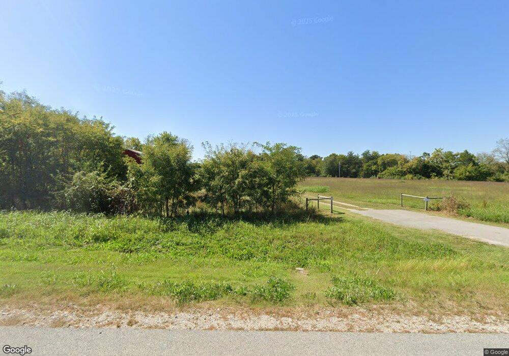
7966 Highway 65 S Harrison, AR 72601
Estimated Value: $229,000 - $246,000
3
Beds
2
Baths
1,968
Sq Ft
$122/Sq Ft
Est. Value
About This Home
This home is located at 7966 Highway 65 S, Harrison, AR 72601 and is currently estimated at $239,297, approximately $121 per square foot. 7966 Highway 65 S is a home located in Boone County with nearby schools including Valley Springs Elementary School, Valley Springs Middle School, and Valley Springs High School.
Ownership History
Date
Name
Owned For
Owner Type
Purchase Details
Closed on
Jan 29, 2018
Sold by
Wells Fargo Bank Na
Bought by
Savage Randall P
Current Estimated Value
Home Financials for this Owner
Home Financials are based on the most recent Mortgage that was taken out on this home.
Original Mortgage
$137,270
Interest Rate
3.94%
Mortgage Type
Construction
Purchase Details
Closed on
Sep 29, 2006
Sold by
Terry Glenda Sue
Bought by
Wharff Steven M and Wharff Judy A
Home Financials for this Owner
Home Financials are based on the most recent Mortgage that was taken out on this home.
Original Mortgage
$177,750
Interest Rate
6.46%
Mortgage Type
New Conventional
Purchase Details
Closed on
Jul 28, 2003
Bought by
Terry
Purchase Details
Closed on
Jul 21, 2003
Bought by
Terry
Create a Home Valuation Report for This Property
The Home Valuation Report is an in-depth analysis detailing your home's value as well as a comparison with similar homes in the area
Home Values in the Area
Average Home Value in this Area
Purchase History
| Date | Buyer | Sale Price | Title Company |
|---|---|---|---|
| Savage Randall P | $134,106 | Associates Closing & Title L | |
| Wharff Steven M | $198,000 | None Available | |
| Terry | -- | -- | |
| Terry | -- | -- |
Source: Public Records
Mortgage History
| Date | Status | Borrower | Loan Amount |
|---|---|---|---|
| Closed | Savage Randall P | $137,270 | |
| Previous Owner | Wharff Steven M | $177,750 |
Source: Public Records
Tax History Compared to Growth
Tax History
| Year | Tax Paid | Tax Assessment Tax Assessment Total Assessment is a certain percentage of the fair market value that is determined by local assessors to be the total taxable value of land and additions on the property. | Land | Improvement |
|---|---|---|---|---|
| 2025 | $1,341 | $31,600 | $1,600 | $30,000 |
| 2024 | $1,137 | $31,600 | $1,600 | $30,000 |
| 2023 | $1,341 | $31,600 | $1,600 | $30,000 |
| 2022 | $1,402 | $31,600 | $1,600 | $30,000 |
| 2021 | $1,341 | $31,600 | $1,600 | $30,000 |
| 2020 | $852 | $27,090 | $1,600 | $25,490 |
| 2019 | $1,245 | $27,090 | $1,600 | $25,490 |
| 2018 | $1,040 | $27,090 | $1,600 | $25,490 |
| 2017 | $1,016 | $26,450 | $960 | $25,490 |
| 2016 | $666 | $26,450 | $960 | $25,490 |
| 2015 | $1,026 | $26,730 | $990 | $25,740 |
| 2014 | $677 | $26,730 | $990 | $25,740 |
Source: Public Records
Map
Nearby Homes
- 7620 Rally Hill Rd
- 0 Rally Hill Rd
- 5946 U S 65
- 2662 Meeks Creek Rd
- 4252 Bellefonte Rd
- 7288 Highway 62 E
- 1350 Hawkins St
- 875 Meadow Lane Dr
- 4816 U S 65
- 95 Lavista Cir
- 47 Lavista Cir
- 8413 Sagamore Loop
- 8446 Sagamore Loop
- 4802 Greenbriar Ln
- 0 Hwy 206 Unit 1309011
- 2899 Bellefonte Rd
- 4639 Quail Ct
- 0 Crawford Rd E Unit 1324761
- 5339 Huzzah Dr
- 1745 McDonald Rd N
- 8488 Maxie Camp Rd
- 7926 Maxie Camp Rd
- 8710 Maxie Camp Rd
- 8710 Maxi Camp Rd
- 8513 Maxie Camp Rd
- 8513 Maxie Camp Rd
- 8262 Maxie Camp Rd E
- 8262 Maxie Camp Rd
- 0 Maxicamp Rd Unit 118889
- 2503 Penny Ln
- 8245 Maxie Camp Rd
- 8245 Maxie Camp Rd
- 2457 Penny Ln
- 2401 Penny Ln
- 2293 Countryside Rd
- 8759 Maxie Camp Rd
- 7490 Maxie Camp Rd
- 8934 Maxie Camp Rd
- 8934 Maxie Camp Rd
- 2292 Countryside
