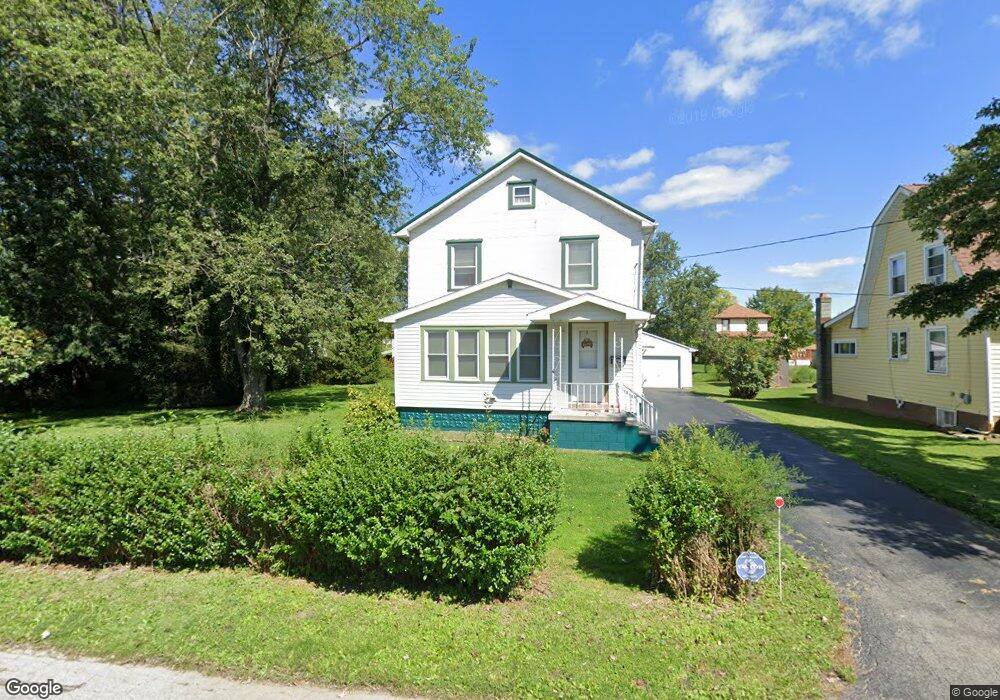
7967 2nd St Masury, OH 44438
Estimated Value: $82,000 - $135,000
3
Beds
1
Bath
1,498
Sq Ft
$75/Sq Ft
Est. Value
About This Home
This home is located at 7967 2nd St, Masury, OH 44438 and is currently estimated at $111,965, approximately $74 per square foot. 7967 2nd St is a home located in Trumbull County with nearby schools including Brookfield Elementary School, Brookfield Middle School, and Brookfield High School.
Ownership History
Date
Name
Owned For
Owner Type
Purchase Details
Closed on
Dec 24, 2021
Sold by
Taylor Melissa A
Bought by
Muntz Paul James
Current Estimated Value
Purchase Details
Closed on
Dec 19, 2018
Sold by
Candor Gregory E
Bought by
Lingenfelter Donald E and Taylor Melisa A
Purchase Details
Closed on
Jun 6, 2013
Sold by
Prater Candace L and Candor Candace L
Bought by
Candor Gregory E
Home Financials for this Owner
Home Financials are based on the most recent Mortgage that was taken out on this home.
Original Mortgage
$61,100
Interest Rate
3.38%
Mortgage Type
New Conventional
Purchase Details
Closed on
Oct 18, 2000
Sold by
Lawrence Paula A
Bought by
Candor Gregory E and Pratte Candace L
Purchase Details
Closed on
Oct 17, 2000
Sold by
Lawrence Paula A
Bought by
Candor Gregory E and Pratte Candace L
Purchase Details
Closed on
Jan 1, 1990
Bought by
Paula A Lawrence
Create a Home Valuation Report for This Property
The Home Valuation Report is an in-depth analysis detailing your home's value as well as a comparison with similar homes in the area
Purchase History
| Date | Buyer | Sale Price | Title Company |
|---|---|---|---|
| Muntz Paul James | -- | None Listed On Document | |
| Lingenfelter Donald E | $50,000 | None Available | |
| Candor Gregory E | -- | None Available | |
| Candor Gregory E | $72,000 | -- | |
| Candor Gregory E | $72,000 | -- | |
| Paula A Lawrence | -- | -- |
Source: Public Records
Mortgage History
| Date | Status | Borrower | Loan Amount |
|---|---|---|---|
| Previous Owner | Candor Gregory E | $61,100 | |
| Closed | Candor Gregory E | -- |
Source: Public Records
Tax History
| Year | Tax Paid | Tax Assessment Tax Assessment Total Assessment is a certain percentage of the fair market value that is determined by local assessors to be the total taxable value of land and additions on the property. | Land | Improvement |
|---|---|---|---|---|
| 2024 | $951 | $30,700 | $1,890 | $28,810 |
| 2023 | $965 | $30,700 | $1,890 | $28,810 |
| 2022 | $1,216 | $21,420 | $1,890 | $19,530 |
| 2021 | $1,139 | $21,420 | $1,890 | $19,530 |
| 2020 | $1,132 | $21,420 | $1,890 | $19,530 |
| 2019 | $1,151 | $20,300 | $1,890 | $18,410 |
| 2018 | $1,140 | $20,300 | $1,890 | $18,410 |
| 2017 | $1,139 | $20,300 | $1,890 | $18,410 |
| 2016 | $997 | $17,080 | $1,890 | $15,190 |
| 2015 | $999 | $17,080 | $1,890 | $15,190 |
| 2014 | $994 | $17,080 | $1,890 | $15,190 |
| 2013 | $1,043 | $18,240 | $1,890 | $16,350 |
Source: Public Records
Map
Nearby Homes
- 7931 Service St
- 1017 Broadway St
- 7647 Connelly Rd
- 917 S Irvine Ave
- 0 Addison Rd Unit 5181382
- 780 S Irvine Ave
- 766 S Irvine Ave
- 8198 Erie St
- 1400 Thomas Hubbard Rd
- 676 S State Line Rd
- 672 S Stateline Rd
- 453 Lafayette Ave
- 306 Federal St
- 506 Spearman Ave
- 1952 Hubbard Masury Rd
- 522 Wallis Ave
- 249 S Irvine Ave
- 238 Malleable St
- 104 Fruit Ave
- 1118 Wallis Ave
Your Personal Tour Guide
Ask me questions while you tour the home.