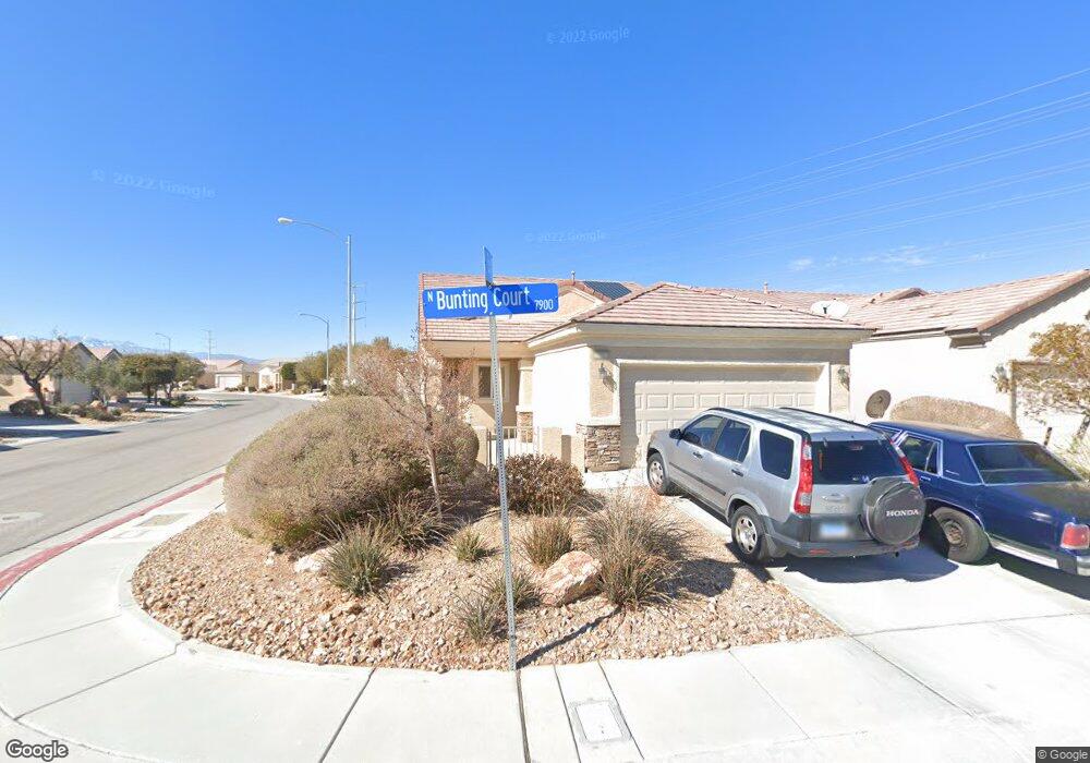
7967 Bunting Ct North Las Vegas, NV 89084
Aliante NeighborhoodEstimated Value: $341,625 - $370,000
2
Beds
2
Baths
1,157
Sq Ft
$306/Sq Ft
Est. Value
About This Home
This home is located at 7967 Bunting Ct, North Las Vegas, NV 89084 and is currently estimated at $354,406, approximately $306 per square foot. 7967 Bunting Ct is a home located in Clark County with nearby schools including Vincent L. Triggs Elementary School, Anthony Saville Middle School, and Shadow Ridge High School.
Ownership History
Date
Name
Owned For
Owner Type
Purchase Details
Closed on
Jul 26, 2005
Sold by
Minshall Mary O
Bought by
Minshall Mary O and Mary O Minshall Living Trust
Current Estimated Value
Purchase Details
Closed on
Apr 29, 2005
Sold by
Pn Ii Inc
Bought by
Minshall Mary O
Purchase Details
Closed on
Jan 12, 2005
Sold by
North Valley Enterprises Llc
Bought by
Pn Ii Inc
Create a Home Valuation Report for This Property
The Home Valuation Report is an in-depth analysis detailing your home's value as well as a comparison with similar homes in the area
Home Values in the Area
Average Home Value in this Area
Purchase History
| Date | Buyer | Sale Price | Title Company |
|---|---|---|---|
| Minshall Mary O | -- | -- | |
| Minshall Mary O | $229,212 | Lawyers Title Of Nevada | |
| Pn Ii Inc | $2,055,493 | First Amer Title Co Of Nv |
Source: Public Records
Tax History Compared to Growth
Tax History
| Year | Tax Paid | Tax Assessment Tax Assessment Total Assessment is a certain percentage of the fair market value that is determined by local assessors to be the total taxable value of land and additions on the property. | Land | Improvement |
|---|---|---|---|---|
| 2025 | $1,571 | $86,287 | $28,000 | $58,287 |
| 2024 | $1,571 | $86,287 | $28,000 | $58,287 |
| 2023 | $1,571 | $85,066 | $30,100 | $54,966 |
| 2022 | $1,671 | $76,024 | $25,900 | $50,124 |
| 2021 | $1,548 | $70,764 | $23,100 | $47,664 |
| 2020 | $1,431 | $69,391 | $22,400 | $46,991 |
| 2019 | $1,341 | $66,494 | $20,300 | $46,194 |
| 2018 | $1,280 | $60,620 | $16,100 | $44,520 |
| 2017 | $1,933 | $56,778 | $12,600 | $44,178 |
| 2016 | $1,199 | $55,250 | $11,025 | $44,225 |
| 2015 | $1,195 | $44,562 | $8,820 | $35,742 |
| 2014 | $1,160 | $37,294 | $6,300 | $30,994 |
Source: Public Records
Map
Nearby Homes
- 2129 Bay Thrush Way
- 2220 Carrier Dove Way
- 2320 Willow Wren Dr
- 7817 Homing Pigeon St
- 7847 Skyler Falls Ln
- 7855 Skyler Falls Ln
- 7824 Starthroat Ct
- 7817 Starthroat Ct Unit 8
- 7737 Nestor Creek Ln
- 2525 Willow Wren Dr
- 7773 Wading Bird Way
- 1943 Marks River Place
- 7751 Widewing Dr
- 7870 Widewing Dr
- 7908 House Sparrow St
- 7757 Coast Jay St
- 1896 Jamie Brook Place
- 1885 Jamie Brook Place
- 7714 Duran Harbor Ln
- 7654 Duran Harbor Ln
- 7971 Bunting Ct
- 7975 Bunting Ct
- 2120 Bay Thrush Way
- 2113 Bay Thrush Way
- 2109 Bay Thrush Way
- 7979 Bunting Ct
- 2124 Bay Thrush Way
- 2105 Bay Thrush Way
- 2125 Bay Thrush Way
- 7970 Bunting Ct
- 2049 Bay Thrush Way
- 2128 Bay Thrush Way
- 7974 Bunting Ct
- 2120 Willow Wren Dr
- 2124 Willow Wren Dr
- 7982 Bunting Ct
- 7978 Bunting Ct
- 2116 Willow Wren Dr
- 2128 Willow Wren Dr
- 2045 Bay Thrush Way