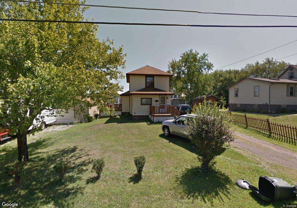
7968 3rd St Masury, OH 44438
Estimated Value: $99,000 - $116,000
3
Beds
2
Baths
1,128
Sq Ft
$96/Sq Ft
Est. Value
About This Home
This home is located at 7968 3rd St, Masury, OH 44438 and is currently estimated at $107,815, approximately $95 per square foot. 7968 3rd St is a home located in Trumbull County with nearby schools including Brookfield Elementary School, Brookfield Middle School, and Brookfield High School.
Ownership History
Date
Name
Owned For
Owner Type
Purchase Details
Closed on
Feb 3, 2016
Sold by
Lane Raymond and Lane Barbara
Bought by
Lane Timothy Raymond and Lane Karen
Current Estimated Value
Purchase Details
Closed on
Oct 14, 2005
Sold by
Deutsche National Trust
Bought by
Destiny Ventures Llc
Purchase Details
Closed on
Apr 27, 2005
Sold by
Deutsche National Trust
Bought by
Destiny Ventures Llc
Purchase Details
Closed on
Aug 31, 2004
Sold by
Gera Patricia A
Bought by
Deutsche Bank National Trust
Purchase Details
Closed on
Mar 14, 2001
Sold by
Gera Timothy A
Bought by
Gera Patricia A
Purchase Details
Closed on
Jan 1, 1990
Sold by
Paul Paul E E and Paul S
Bought by
Paul Paul E and Paul S
Create a Home Valuation Report for This Property
The Home Valuation Report is an in-depth analysis detailing your home's value as well as a comparison with similar homes in the area
Purchase History
| Date | Buyer | Sale Price | Title Company |
|---|---|---|---|
| Lane Timothy Raymond | -- | None Available | |
| Destiny Ventures Llc | $750 | -- | |
| Lane Raymond | $12,000 | -- | |
| Destiny Ventures Llc | $750 | -- | |
| Deutsche Bank National Trust | $38,000 | -- | |
| Gera Patricia A | -- | -- | |
| Paul Paul E | -- | -- |
Source: Public Records
Tax History
| Year | Tax Paid | Tax Assessment Tax Assessment Total Assessment is a certain percentage of the fair market value that is determined by local assessors to be the total taxable value of land and additions on the property. | Land | Improvement |
|---|---|---|---|---|
| 2024 | $1,253 | $26,540 | $1,720 | $24,820 |
| 2023 | $1,253 | $26,540 | $1,720 | $24,820 |
| 2022 | $987 | $16,950 | $1,720 | $15,230 |
| 2021 | $927 | $16,950 | $1,720 | $15,230 |
| 2020 | $921 | $16,950 | $1,720 | $15,230 |
| 2019 | $937 | $16,070 | $1,720 | $14,350 |
| 2018 | $929 | $16,070 | $1,720 | $14,350 |
| 2017 | $927 | $16,070 | $1,720 | $14,350 |
| 2016 | $825 | $13,730 | $1,720 | $12,010 |
| 2015 | $826 | $13,730 | $1,720 | $12,010 |
| 2014 | $822 | $13,730 | $1,720 | $12,010 |
| 2013 | $861 | $14,640 | $1,720 | $12,920 |
Source: Public Records
Map
Nearby Homes
- 7822 2nd St
- 7931 Service St
- 1017 Broadway St
- 7647 Connelly Rd
- 917 S Irvine Ave
- 0 Addison Rd Unit 5181382
- 766 S Irvine Ave
- 691 S Irvine Ave
- 676 S State Line Rd
- 672 S Stateline Rd
- 453 Lafayette Ave
- 306 Federal St
- 506 Spearman Ave
- 1952 Hubbard Masury Rd
- 522 Wallis Ave
- 249 S Irvine Ave
- 238 Malleable St
- 1118 Wallis Ave
- 268 Malleable St
- 104 Fruit Ave