797 Ruff Rd Rockmart, GA 30153
Estimated Value: $140,799 - $372,000
Studio
--
Bath
1,495
Sq Ft
$181/Sq Ft
Est. Value
About This Home
This home is located at 797 Ruff Rd, Rockmart, GA 30153 and is currently estimated at $271,266, approximately $181 per square foot. 797 Ruff Rd is a home with nearby schools including Rockmart Middle School.
Ownership History
Date
Name
Owned For
Owner Type
Purchase Details
Closed on
Jul 7, 2004
Sold by
Jones Steve A and Jones Julie
Bought by
Kendrick John M and Kendrick Cheryl
Current Estimated Value
Purchase Details
Closed on
Aug 3, 1996
Sold by
Ballard Martha D
Bought by
Jones Steve A and Jones Julie
Purchase Details
Closed on
Dec 13, 1989
Sold by
Vanvanvanvanballard Billy Van
Bought by
Ballard Martha D
Purchase Details
Closed on
Dec 5, 1989
Sold by
Ballard Susan*
Bought by
Ballard Billy V
Purchase Details
Closed on
Apr 4, 1987
Sold by
Sparks Robert
Bought by
Ballard Billy V
Purchase Details
Closed on
Aug 5, 1961
Bought by
Sparks Robert W
Purchase Details
Closed on
Oct 1, 1960
Bought by
Sparks Robert W
Create a Home Valuation Report for This Property
The Home Valuation Report is an in-depth analysis detailing your home's value as well as a comparison with similar homes in the area
Purchase History
| Date | Buyer | Sale Price | Title Company |
|---|---|---|---|
| Kendrick John M | $185,000 | -- | |
| Jones Steve A | $31,000 | -- | |
| Ballard Martha D | -- | -- | |
| Ballard Billy V | -- | -- | |
| Ballard Billy V | $16,900 | -- | |
| Sparks Robert W | -- | -- | |
| Sparks Robert W | -- | -- |
Source: Public Records
Tax History
| Year | Tax Paid | Tax Assessment Tax Assessment Total Assessment is a certain percentage of the fair market value that is determined by local assessors to be the total taxable value of land and additions on the property. | Land | Improvement |
|---|---|---|---|---|
| 2025 | $924 | $41,047 | $40,531 | $516 |
| 2024 | $646 | $30,914 | $30,398 | $516 |
| 2023 | $734 | $30,914 | $30,398 | $516 |
| 2022 | $493 | $20,781 | $20,265 | $516 |
| 2021 | $500 | $20,781 | $20,265 | $516 |
| 2020 | $501 | $20,781 | $20,265 | $516 |
| 2019 | $579 | $21,576 | $20,265 | $1,311 |
| 2018 | $595 | $21,576 | $20,265 | $1,311 |
| 2017 | $587 | $21,576 | $20,265 | $1,311 |
| 2016 | $496 | $18,215 | $16,904 | $1,311 |
| 2015 | $497 | $18,215 | $16,904 | $1,311 |
| 2014 | $501 | $18,215 | $16,904 | $1,311 |
Source: Public Records
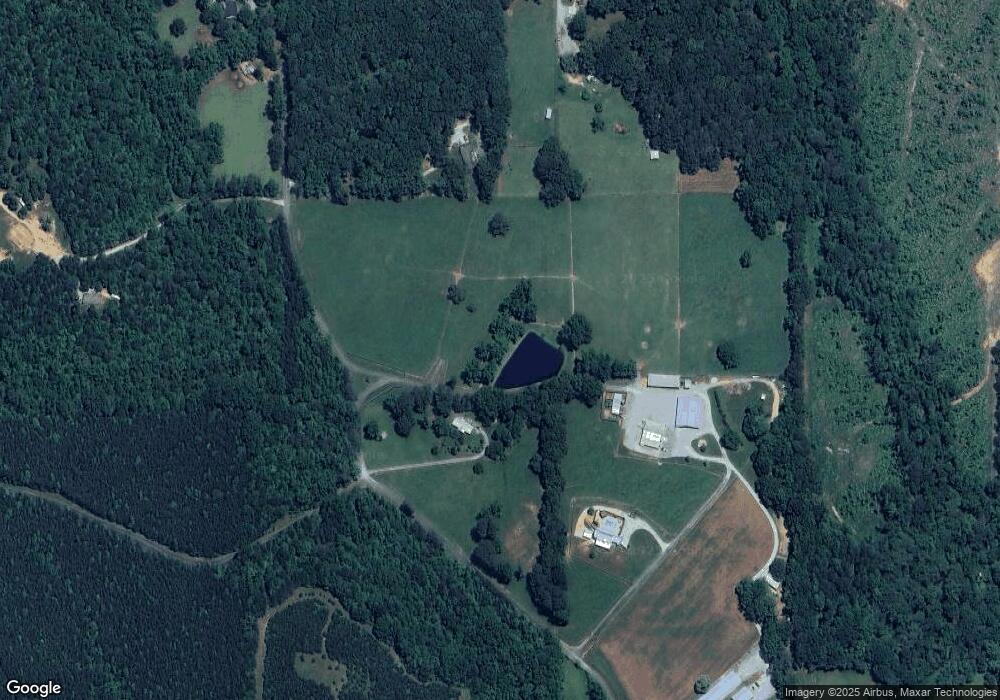
Map
Nearby Homes
- 748 Maner Rd
- 3462 Vinson Mountain Rd
- None Maner Rd
- 2435 Vinson Mountain Rd
- 0 Browning Rd Unit 10621740
- 0 Vinson Mountain Unit 10640241
- 96 Southern Trace Dr
- 3639 Holly Springs Rd
- 440 Prometheous Way
- 33 Tolbert Rd
- 174 Randall Dr
- 74 Sandy Path
- 0 Vinson Mountain Rd Unit 10641404
- 0 Vinson Mountain Rd Unit 10622561
- 0 Vinson Mountain Rd Unit 7678463
- 0 Vinson Mountain Rd Unit 10641411
- 0 Vinson Mountain Rd Unit 25164402
- 385 Prometheous Way
- 2122 Browntown Rd
- 298 Randall Dr
- 668 Ruff Rd
- 727 Ruff Rd
- 670 Ruff Rd
- 730 Ruff Rd
- 749 Old Dallas Rd
- 468 Ruff Rd
- 600 Ruff Rd
- 1001 Old Dallas Rd
- 19 Ruff Rd
- 1018 Old Dallas Rd
- 336 Ruff Rd
- 1039 Old Dallas Rd
- 557 Ruff Rd
- 556 Ruff Rd
- 0 Ruff Rd
- 0 Ruff Rd Unit 8006490
- 0 Ruff Rd Unit 7058713
- 0 Ruff Rd Unit 3214819
- 0 Ruff Rd Unit 8757564
- 0 Ruff Rd Unit 8180821
Your Personal Tour Guide
Ask me questions while you tour the home.