Estimated Value: $816,000 - $1,090,000
2
Beds
2
Baths
1,352
Sq Ft
$668/Sq Ft
Est. Value
About This Home
This home is located at 797 Sandstone Dr, Lyons, CO 80540 and is currently estimated at $903,264, approximately $668 per square foot. 797 Sandstone Dr is a home located in Boulder County with nearby schools including Lyons Elementary School and Lyons Middle/Senior High School.
Ownership History
Date
Name
Owned For
Owner Type
Purchase Details
Closed on
Oct 15, 1998
Sold by
Lamont Janet M
Bought by
Lamont James P
Current Estimated Value
Purchase Details
Closed on
Jun 28, 1996
Sold by
Anderson Neil and Anderson Lori
Bought by
Mccourt Patrick Edward
Home Financials for this Owner
Home Financials are based on the most recent Mortgage that was taken out on this home.
Original Mortgage
$206,900
Outstanding Balance
$11,603
Interest Rate
5.62%
Estimated Equity
$891,661
Purchase Details
Closed on
Dec 17, 1993
Sold by
Vonatzingen Roger D and Vonatzingen Kathleen
Bought by
Anderson Neil
Purchase Details
Closed on
Apr 20, 1992
Bought by
Mccourt Patrick Edward
Purchase Details
Closed on
Oct 9, 1990
Bought by
Mccourt Patrick Edward
Create a Home Valuation Report for This Property
The Home Valuation Report is an in-depth analysis detailing your home's value as well as a comparison with similar homes in the area
Purchase History
| Date | Buyer | Sale Price | Title Company |
|---|---|---|---|
| Lamont James P | -- | -- | |
| Mccourt Patrick Edward | $229,900 | -- | |
| Anderson Neil | $55,000 | -- | |
| Mccourt Patrick Edward | $19,500 | -- | |
| Mccourt Patrick Edward | -- | -- |
Source: Public Records
Mortgage History
| Date | Status | Borrower | Loan Amount |
|---|---|---|---|
| Open | Mccourt Patrick Edward | $206,900 |
Source: Public Records
Tax History
| Year | Tax Paid | Tax Assessment Tax Assessment Total Assessment is a certain percentage of the fair market value that is determined by local assessors to be the total taxable value of land and additions on the property. | Land | Improvement |
|---|---|---|---|---|
| 2025 | $5,048 | $54,038 | $21,413 | $32,625 |
| 2024 | $5,048 | $54,038 | $21,413 | $32,625 |
| 2023 | $4,969 | $55,811 | $19,665 | $39,832 |
| 2022 | $4,050 | $45,759 | $17,625 | $28,134 |
| 2021 | $4,017 | $47,075 | $18,132 | $28,943 |
| 2020 | $2,912 | $36,058 | $6,364 | $29,694 |
| 2019 | $2,868 | $36,058 | $6,364 | $29,694 |
| 2018 | $2,949 | $36,994 | $6,696 | $30,298 |
| 2017 | $2,901 | $40,899 | $7,403 | $33,496 |
| 2016 | $2,703 | $35,183 | $9,313 | $25,870 |
| 2015 | $2,547 | $29,898 | $4,458 | $25,440 |
| 2014 | $1,908 | $29,898 | $4,458 | $25,440 |
Source: Public Records
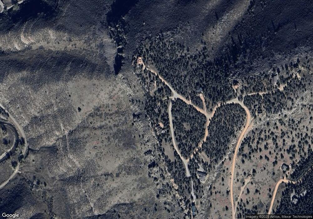
Map
Nearby Homes
- 104 Noland Ct
- 342 4th Ave
- 18673 Route 7
- 430 Carter Dr
- 350 Mcconnell Dr
- 0 Apple Valley Rd
- 622 3rd Ave
- 618 Overlook Dr
- 121 Osprey Ln
- 1040 5th Ave 2 and 4
- 1040 5th Ave 5
- 119 Eagle Canyon Cir
- 11730 Pointe View Dr
- 125 Longs Peak Dr
- 1117 5th Ave
- 1117 N 5th Ave
- 223 Stone Canyon Rd
- 1669 Apple Valley Rd
- 2615 Eagle Ridge Rd
- 11558 Eagle Springs Trail
- 765 Sandstone Dr
- 871 Sandstone Dr
- 700 Sandstone Dr
- 1026 Sandstone Dr
- 933 Sandstone Dr
- 0 Sandstone Dr
- 315 Sandstone Dr
- 394 Sandstone Dr
- 711 Sandstone Dr
- 468 Sandstone Dr
- 276 Sandstone Dr
- 418 Sandstone Dr
- 985 Sandstone Dr
- 330 Flint Gulch Dr
- 466 Sandstone Dr
- 442 Sandstone Dr
- 0 Sandstone Dr
- 325 Flint Gulch Dr
- 471 Flint Gulch Rd
- 105 Sandstone Dr
Your Personal Tour Guide
Ask me questions while you tour the home.