7970 Harbour Towne Ave Las Vegas, NV 89113
Estimated Value: $597,874 - $644,000
2
Beds
2
Baths
1,668
Sq Ft
$378/Sq Ft
Est. Value
About This Home
This home is located at 7970 Harbour Towne Ave, Las Vegas, NV 89113 and is currently estimated at $630,469, approximately $377 per square foot. 7970 Harbour Towne Ave is a home located in Clark County with nearby schools including Lucille S. Rogers Elementary School, Grant Sawyer Middle School, and Durango High School.
Ownership History
Date
Name
Owned For
Owner Type
Purchase Details
Closed on
Mar 9, 2021
Sold by
Silver Living Trust and Silver Mitchell
Bought by
Mitchell Haun Silver Revocable Living Trust and Silver
Current Estimated Value
Purchase Details
Closed on
Dec 19, 2001
Sold by
Chanon Maurice L and Chanon Leona
Bought by
Silver Edna and The Silver Living Trust
Purchase Details
Closed on
Mar 15, 1995
Sold by
Schultze Arnold R and Schultze Alice
Bought by
Chanon Maurice L and Chanon Leona
Create a Home Valuation Report for This Property
The Home Valuation Report is an in-depth analysis detailing your home's value as well as a comparison with similar homes in the area
Home Values in the Area
Average Home Value in this Area
Purchase History
| Date | Buyer | Sale Price | Title Company |
|---|---|---|---|
| Mitchell Haun Silver Revocable Living Trust | -- | None Listed On Document | |
| Silver Edna | $220,000 | Old Republic Title Company | |
| Chanon Maurice L | $59,500 | Old Republic Title Company |
Source: Public Records
Tax History Compared to Growth
Tax History
| Year | Tax Paid | Tax Assessment Tax Assessment Total Assessment is a certain percentage of the fair market value that is determined by local assessors to be the total taxable value of land and additions on the property. | Land | Improvement |
|---|---|---|---|---|
| 2025 | $3,187 | $124,794 | $65,100 | $59,694 |
| 2024 | $3,103 | $124,794 | $65,100 | $59,694 |
| 2023 | $3,103 | $114,299 | $58,800 | $55,499 |
| 2022 | $2,733 | $99,386 | $46,200 | $53,186 |
| 2021 | $2,531 | $86,206 | $42,000 | $44,206 |
| 2020 | $2,347 | $80,030 | $33,600 | $46,430 |
| 2019 | $2,350 | $80,112 | $33,600 | $46,512 |
| 2018 | $2,287 | $77,976 | $32,813 | $45,163 |
| 2017 | $2,312 | $77,858 | $33,250 | $44,608 |
| 2016 | $2,183 | $74,160 | $28,350 | $45,810 |
| 2015 | $2,178 | $76,742 | $31,500 | $45,242 |
| 2014 | $2,115 | $69,018 | $26,250 | $42,768 |
Source: Public Records
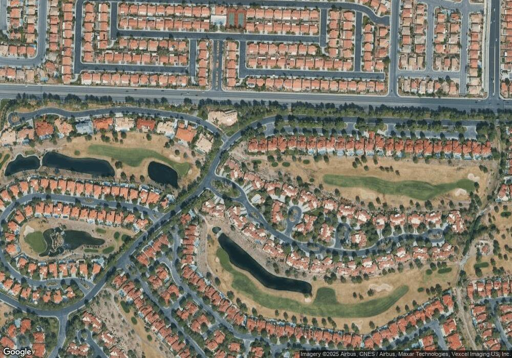
Map
Nearby Homes
- 5035 Shoal Creek Cir
- 5021 Shoal Creek Cir
- 5008 Shoal Creek Cir
- 7973 Harbour Towne Ave
- 7988 Harbour Towne Ave
- 7895 Harbour Towne Ave
- 7889 Harbour Towne Ave
- 7909 Rio Rico Dr
- 8121 Castle Pines Ave
- 8051 Castle Pines Ave
- 7970 Bermuda Dunes Ave
- 8199 Pinnacle Peak Ave
- 7999 Pinnacle Peak Ave
- 8188 Horseshoe Bend Ln
- 7962 Kinsella Way
- 5121 Kapalua Ln
- 8196 Horseshoe Bend Ln
- 8200 Horseshoe Bend Ln
- 8215 Round Hills Cir
- 7936 Canto Ave
- 7976 Harbour Towne Ave
- 7964 Harbour Towne Ave
- 7982 Harbour Towne Ave
- 5017 Shoal Creek Cir
- 7994 Harbour Towne Ave
- 5009 Shoal Creek Cir
- 5009 Shoal Creek Cir Unit none
- 7987 Rio Rico Dr
- 7995 Rio Rico Dr
- 7979 Rio Rico Dr
- 7979 Rio Rico Dr Unit n/a
- 5029 Shoal Creek Cir
- 5005 Shoal Creek Cir
- 7967 Harbour Towne Ave
- 7971 Rio Rico Dr
- 7961 Harbour Towne Ave
- 7979 Harbour Towne Ave
- 7963 Rio Rico Dr
- 7955 Harbour Towne Ave
- 5004 Shoal Creek Cir