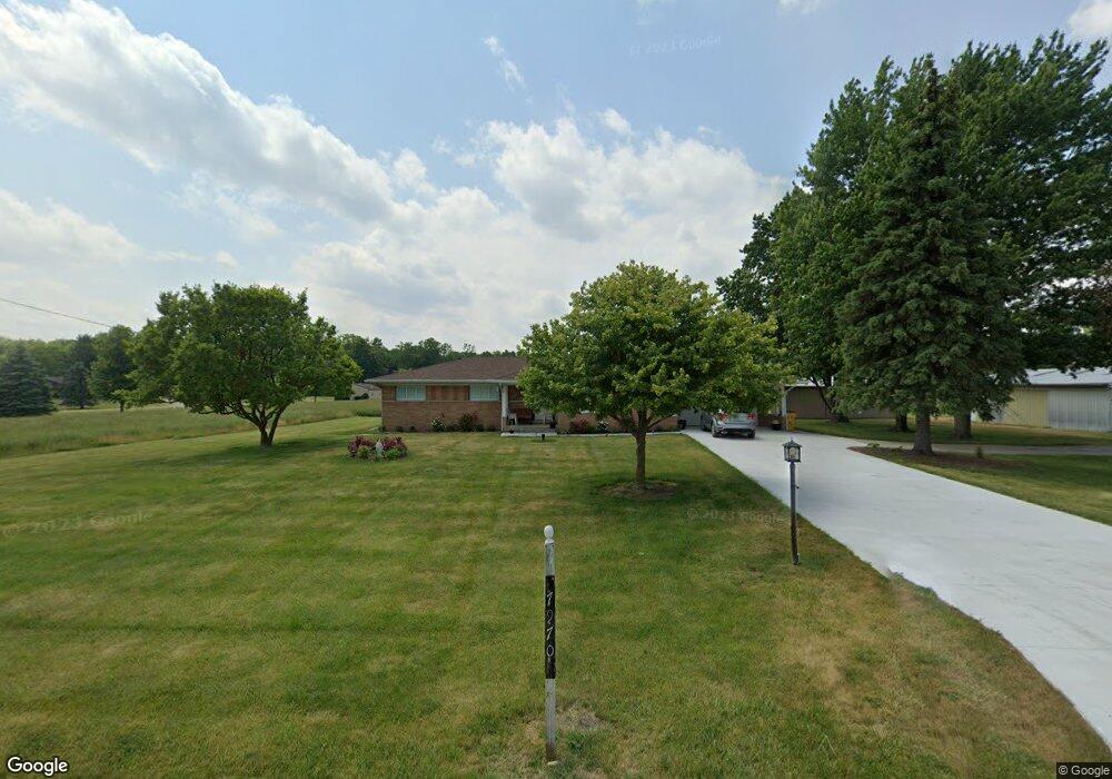
79701 Capac Rd Armada, MI 48005
Estimated Value: $415,103 - $562,000
Studio
1
Bath
2,189
Sq Ft
$222/Sq Ft
Est. Value
About This Home
This home is located at 79701 Capac Rd, Armada, MI 48005 and is currently estimated at $486,776, approximately $222 per square foot. 79701 Capac Rd is a home located in Macomb County with nearby schools including Orville C. Krause Elementary School, Armada Middle School, and Armada High School.
Ownership History
Date
Name
Owned For
Owner Type
Purchase Details
Closed on
Aug 26, 2025
Sold by
Saba Adele D
Bought by
Saba Adele D and Batayeh Helen S
Current Estimated Value
Purchase Details
Closed on
Jun 14, 2023
Sold by
Jadel Ltd
Bought by
Adele D Saba Agreement Of Trust
Purchase Details
Closed on
Jun 15, 2021
Sold by
Raymond J Ameloot Family Living Trust
Bought by
Jadel Ltd
Purchase Details
Closed on
Feb 20, 1996
Sold by
Ameloot Raymond J and Ameloot Florence
Bought by
Ameloot Raymond J and Ameloo Florence
Create a Home Valuation Report for This Property
The Home Valuation Report is an in-depth analysis detailing your home's value as well as a comparison with similar homes in the area
Home Values in the Area
Average Home Value in this Area
Purchase History
| Date | Buyer | Sale Price | Title Company |
|---|---|---|---|
| Saba Adele D | -- | None Listed On Document | |
| Saba Adele D | -- | None Listed On Document | |
| Adele D Saba Agreement Of Trust | -- | None Listed On Document | |
| Jadel Ltd | $400,000 | Ata National Title Group Llc | |
| Ameloot Raymond J | -- | None Available |
Source: Public Records
Tax History
| Year | Tax Paid | Tax Assessment Tax Assessment Total Assessment is a certain percentage of the fair market value that is determined by local assessors to be the total taxable value of land and additions on the property. | Land | Improvement |
|---|---|---|---|---|
| 2025 | $3,539 | $201,100 | $0 | $0 |
| 2024 | $34 | $193,600 | $0 | $0 |
| 2023 | $4,452 | $168,100 | $0 | $0 |
| 2022 | $7,172 | $153,200 | $0 | $0 |
| 2021 | $3,729 | $147,400 | $0 | $0 |
| 2020 | $2,328 | $143,700 | $0 | $0 |
| 2019 | $3,424 | $137,200 | $0 | $0 |
| 2018 | $3,138 | $140,700 | $0 | $0 |
| 2017 | $3,095 | $134,000 | $40,400 | $93,600 |
| 2016 | $3,073 | $134,000 | $0 | $0 |
| 2015 | -- | $124,800 | $0 | $0 |
| 2011 | -- | $112,758 | $37,493 | $75,265 |
Source: Public Records
Map
Nearby Homes
- 5414 Bordman Rd
- TBD Bordman Rd
- 408 Howell Rd
- 21830 Bordman Rd
- 73763 Coon Creek Rd
- 2.0 Acres Vacant Lan Coon Creek Rd
- 14750 Reid Rd
- 78730 Brown Rd
- 00 33 Mile Rd
- 0 Parcel D Almont Rd
- 0 Parcel E Almont Rd
- 0 Parcel C Almont Rd
- 1020 Capac Rd
- 0 Romeo Plank Rd Unit 50180632
- 0 Fox Ridge 1-A Unit 50200438
- 23100 Pratt Rd
- 16465 Almont Rd
- 16401 Almont Rd
- 23335 McPhall Rd
- 14150 Hough Rd
- 79851 Capac Rd
- 79661 Capac Rd
- 18350 Pratt Rd
- 80076 Capac Rd
- 18300 Pratt Rd
- 18926 Pratt Rd
- 18475 Pratt Rd
- 80198 Holmes Rd
- 18250 Pratt Rd
- 79551 Capac Rd
- 80200 Capac Rd Unit Bldg-Unit
- 80200 Capac Rd
- 18353 Pratt Rd
- 79377 Capac Rd
- 18901 Pratt Rd
- 18170 Pratt Rd
- 18331 Pratt Rd
- 80201 Capac Rd
- 80299 Capac Rd
- 19011 Pratt Rd
Your Personal Tour Guide
Ask me questions while you tour the home.