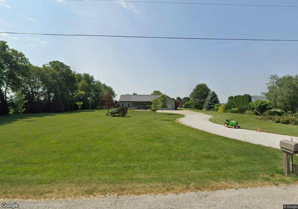
7972 W 350 S La Porte, IN 46350
Estimated Value: $382,000 - $432,000
3
Beds
2
Baths
1,920
Sq Ft
$208/Sq Ft
Est. Value
About This Home
This home is located at 7972 W 350 S, La Porte, IN 46350 and is currently estimated at $398,694, approximately $207 per square foot. 7972 W 350 S is a home located in LaPorte County with nearby schools including Westville Elementary School and Westville High School.
Ownership History
Date
Name
Owned For
Owner Type
Purchase Details
Closed on
Jun 30, 2008
Sold by
Ayres Donald E and Ayres Tina L
Bought by
Michaels Bernard D and Michaels Donna L
Current Estimated Value
Purchase Details
Closed on
Apr 9, 2008
Sold by
Fath Melville C and Fath Thelma A
Bought by
Estes Jeffrey D
Home Financials for this Owner
Home Financials are based on the most recent Mortgage that was taken out on this home.
Original Mortgage
$184,250
Interest Rate
6.32%
Mortgage Type
Unknown
Purchase Details
Closed on
Dec 12, 2005
Sold by
Fath Melville C and Fath Thelma A
Bought by
Ayres Donald E and Ayres Tina L
Home Financials for this Owner
Home Financials are based on the most recent Mortgage that was taken out on this home.
Original Mortgage
$45,000
Interest Rate
6.2%
Mortgage Type
Fannie Mae Freddie Mac
Create a Home Valuation Report for This Property
The Home Valuation Report is an in-depth analysis detailing your home's value as well as a comparison with similar homes in the area
Home Values in the Area
Average Home Value in this Area
Purchase History
| Date | Buyer | Sale Price | Title Company |
|---|---|---|---|
| Michaels Bernard D | -- | Ticor Title Insurance Co | |
| Estes Jeffrey D | -- | Meridian | |
| Ayres Donald E | -- | -- |
Source: Public Records
Mortgage History
| Date | Status | Borrower | Loan Amount |
|---|---|---|---|
| Previous Owner | Estes Jeffrey D | $184,250 | |
| Previous Owner | Ayres Donald E | $45,000 |
Source: Public Records
Tax History Compared to Growth
Tax History
| Year | Tax Paid | Tax Assessment Tax Assessment Total Assessment is a certain percentage of the fair market value that is determined by local assessors to be the total taxable value of land and additions on the property. | Land | Improvement |
|---|---|---|---|---|
| 2024 | $2,897 | $305,400 | $39,000 | $266,400 |
| 2022 | $2,821 | $266,600 | $39,000 | $227,600 |
| 2021 | $2,764 | $250,300 | $39,000 | $211,300 |
| 2020 | $2,691 | $250,300 | $39,000 | $211,300 |
| 2019 | $2,746 | $253,800 | $39,000 | $214,800 |
| 2018 | $2,722 | $241,500 | $39,000 | $202,500 |
| 2017 | $2,544 | $225,500 | $30,100 | $195,400 |
| 2016 | $2,686 | $235,500 | $30,100 | $205,400 |
| 2014 | $1,246 | $140,200 | $28,100 | $112,100 |
Source: Public Records
Map
Nearby Homes
- 3555 S Maple Lane Ct
- 6475 W Joliet Rd
- 604 Stanley Dr
- 603 Julie Dr
- 601 Mary Dr
- 1 Avenue B
- 403 Liberty Ave
- 200 E Jefferson St
- 306 Clyborn St
- 7 E Valparaiso St
- 655 Fairview St
- 356 W Jefferson St
- 355 W Jefferson St
- 108 Railroad St
- 0 N 550 E Unit NRA829843
- 0 N 550 E Unit NRA829842
- 0 N 550 E Unit NRA829840
- 0 N 550 E Unit NRA829828
- 1824 Creekside Ct
- Lot 17 S Rolling Meadows Dr
- 8008 W 350 S
- 8044 W 350 S
- 7754 W 350 S
- 7754 W 350 S
- 7889 W 350 S
- 7871 W 350 S
- 7855 W 350 S
- 7843 W 350 S
- 8154 W 350 S
- 3496 S Wozniak Rd
- 3482 S Wozniak Rd
- 7933 W 350 S
- 8251 W 350 S
- 3418 S Wozniak Rd
- 3401 S Wozniak Rd
- 3403 S Wozniak Rd
- 0 W 350 S Unit NRA539526
- approx W 350 S
- 7353-approx W 350 S
- 0 W 350 S