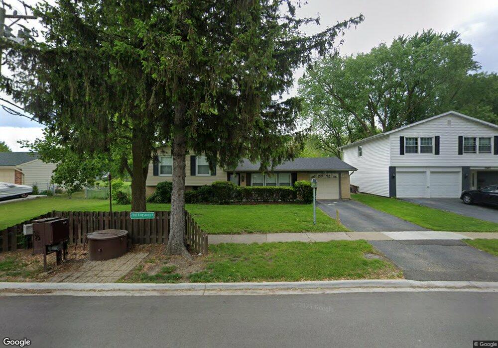
7979 Kingsbury Dr Hanover Park, IL 60133
Estimated Value: $318,000 - $388,000
3
Beds
2
Baths
1,084
Sq Ft
$327/Sq Ft
Est. Value
About This Home
This home is located at 7979 Kingsbury Dr, Hanover Park, IL 60133 and is currently estimated at $354,416, approximately $326 per square foot. 7979 Kingsbury Dr is a home located in Cook County with nearby schools including Albert Einstein Elementary School, Jane Addams Junior High School, and Hoffman Estates High School.
Ownership History
Date
Name
Owned For
Owner Type
Purchase Details
Closed on
Jul 28, 2003
Sold by
Wilcox James L and Wilcox Pamela A
Bought by
Burns Anthony E and Johnson Carolyn D
Current Estimated Value
Home Financials for this Owner
Home Financials are based on the most recent Mortgage that was taken out on this home.
Original Mortgage
$219,800
Interest Rate
5.94%
Mortgage Type
Unknown
Create a Home Valuation Report for This Property
The Home Valuation Report is an in-depth analysis detailing your home's value as well as a comparison with similar homes in the area
Home Values in the Area
Average Home Value in this Area
Purchase History
| Date | Buyer | Sale Price | Title Company |
|---|---|---|---|
| Burns Anthony E | $227,000 | Atgf Inc |
Source: Public Records
Mortgage History
| Date | Status | Borrower | Loan Amount |
|---|---|---|---|
| Previous Owner | Burns Anthony E | $219,800 |
Source: Public Records
Tax History Compared to Growth
Tax History
| Year | Tax Paid | Tax Assessment Tax Assessment Total Assessment is a certain percentage of the fair market value that is determined by local assessors to be the total taxable value of land and additions on the property. | Land | Improvement |
|---|---|---|---|---|
| 2024 | $7,160 | $26,000 | $5,524 | $20,476 |
| 2023 | $6,894 | $26,000 | $5,524 | $20,476 |
| 2022 | $6,894 | $26,000 | $5,524 | $20,476 |
| 2021 | $5,872 | $19,937 | $3,611 | $16,326 |
| 2020 | $5,880 | $19,937 | $3,611 | $16,326 |
| 2019 | $5,955 | $22,402 | $3,611 | $18,791 |
| 2018 | $5,834 | $19,894 | $3,186 | $16,708 |
| 2017 | $5,760 | $19,894 | $3,186 | $16,708 |
| 2016 | $5,705 | $19,894 | $3,186 | $16,708 |
| 2015 | $5,317 | $17,603 | $2,761 | $14,842 |
| 2014 | $5,233 | $17,603 | $2,761 | $14,842 |
| 2013 | $5,058 | $17,603 | $2,761 | $14,842 |
Source: Public Records
Map
Nearby Homes
- 1316 Kingsbury Dr Unit 1
- 7873 Asbury Cir S
- 8138 N Carrolton Ct
- 1323 Kingsbury Dr Unit 2
- 1307 Kingsbury Dr Unit A
- 7526 Bristol Ln Unit 502
- 7523 Bristol Ln Unit A
- 1283 Bristol Ln
- 224 Glenridge Ln
- 200 Columbia Ct Unit 5
- 2404 Baldwin Ct
- 630 S Walnut Ln
- 802 Lexington Cir
- 136 Caryville Ln
- 1925 Syracuse Ln
- 7418 Nantucket Cove
- 515 Southwood Cir
- 1105 Stratford Ln
- 2902 Belle Ln
- 195 Island Ct
- 7967 Kingsbury Dr
- 7985 Kingsbury Dr
- 7968 Huntington Cir N
- 7933 Kingsbury Dr
- 8011 Kingsbury Dr
- 7980 Kingsbury Dr
- 7956 Huntington Cir N
- 7982 Huntington Cir N
- 8010 S Carnaby Ct
- 7990 Kingsbury Dr
- 7925 Kingsbury Dr
- 8023 Kingsbury Dr
- 8012 Kingsbury Dr
- 7942 Huntington Cir N
- 1483 Ramblewood Dr
- 1480 Ramblewood Dr
- 8024 Kingsbury Dr
- 8034 S Carnaby Ct Unit 11
- 7913 Kingsbury Dr
- 7979 Huntington Cir N