798 Mallery St Unit 42 Saint Simons Island, GA 31522
Estimated Value: $523,000 - $814,000
2
Beds
2
Baths
1,721
Sq Ft
$398/Sq Ft
Est. Value
About This Home
This home is located at 798 Mallery St Unit 42, Saint Simons Island, GA 31522 and is currently estimated at $685,603, approximately $398 per square foot. 798 Mallery St Unit 42 is a home located in Glynn County with nearby schools including St. Simons Elementary School, Glynn Middle School, and Glynn Academy.
Ownership History
Date
Name
Owned For
Owner Type
Purchase Details
Closed on
May 22, 2018
Sold by
Moody Suzanne N
Bought by
Kegel Michael and Kegel Judi
Current Estimated Value
Purchase Details
Closed on
Apr 10, 2006
Sold by
Neal Mildred C
Bought by
Neal Mary Evelyn
Home Financials for this Owner
Home Financials are based on the most recent Mortgage that was taken out on this home.
Original Mortgage
$428,000
Interest Rate
6%
Mortgage Type
New Conventional
Create a Home Valuation Report for This Property
The Home Valuation Report is an in-depth analysis detailing your home's value as well as a comparison with similar homes in the area
Home Values in the Area
Average Home Value in this Area
Purchase History
| Date | Buyer | Sale Price | Title Company |
|---|---|---|---|
| Kegel Michael | $405,000 | -- | |
| Neal Mary Evelyn | -- | -- | |
| Moody David L | -- | -- |
Source: Public Records
Mortgage History
| Date | Status | Borrower | Loan Amount |
|---|---|---|---|
| Previous Owner | Moody David L | $428,000 |
Source: Public Records
Tax History Compared to Growth
Tax History
| Year | Tax Paid | Tax Assessment Tax Assessment Total Assessment is a certain percentage of the fair market value that is determined by local assessors to be the total taxable value of land and additions on the property. | Land | Improvement |
|---|---|---|---|---|
| 2025 | $5,036 | $200,800 | $0 | $200,800 |
| 2024 | $4,384 | $174,800 | $0 | $174,800 |
| 2023 | $1,142 | $174,800 | $0 | $174,800 |
| 2022 | $1,279 | $174,800 | $0 | $174,800 |
| 2021 | $1,313 | $174,800 | $0 | $174,800 |
| 2020 | $1,343 | $174,800 | $0 | $174,800 |
| 2019 | $3,791 | $140,400 | $0 | $140,400 |
| 2018 | $1,914 | $140,400 | $0 | $140,400 |
| 2017 | $1,914 | $140,400 | $0 | $140,400 |
| 2016 | $1,780 | $119,760 | $0 | $119,760 |
| 2015 | $1,792 | $119,760 | $0 | $119,760 |
| 2014 | $1,792 | $119,760 | $0 | $119,760 |
Source: Public Records
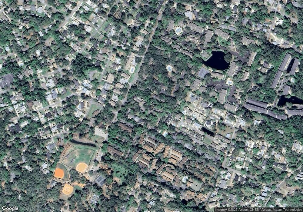
Map
Nearby Homes
- 125 Tiffany Ln
- 800 Mallery St Unit 52
- 800 Mallery St Unit 90
- 800 Mallery St Unit C-30
- 800 Mallery St Unit J-89
- 805 Mallery St Unit E
- 1106 George Lotson Ave
- 850 Mallery St Unit 8K
- 850 Mallery St Unit 6A
- 850 Mallery St Unit 4W
- 850 Mallery St Unit S 3
- 850 Mallery St Unit 4O
- 850 Mallery St Unit 13Q
- 850 Mallery St Unit 9W
- 105 Seaside Cir
- 115 Seaside Cir
- 533 Timmons St
- 638 Dellwood Ave
- 536 Delegal St
- 200 Salt Air Dr Unit 152
- 798 Mallory Unit 24
- 798 Mallory Unit 40
- 798 Mallory Unit 23
- 798 Mallory Unit 39
- 798 Mallory Unit 13
- 798 Mallory Unit 7
- 798 Mallory Unit 5
- 798 Mallory Unit 42
- 798 Mallory Unit 34
- 798 Mallery St Unit 48
- 798 Mallery St Unit 47
- 798 Mallery St Unit 46
- 798 Mallery St Unit 45
- 798 Mallery St Unit 44
- 798 Mallery St Unit 43
- 798 Mallery St Unit 41
- 798 Mallery St Unit 40
- 798 Mallery St Unit 39
- 798 Mallery St Unit 38
- 798 Mallery St Unit 37