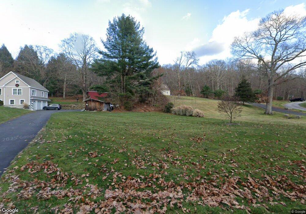
798 N River Rd Coventry, CT 06238
Estimated Value: $423,000 - $533,000
3
Beds
3
Baths
2,071
Sq Ft
$241/Sq Ft
Est. Value
About This Home
This home is located at 798 N River Rd, Coventry, CT 06238 and is currently estimated at $499,496, approximately $241 per square foot. 798 N River Rd is a home located in Tolland County with nearby schools including Coventry Grammar School, George Hersey Robertson School, and Capt. Nathan Hale School.
Ownership History
Date
Name
Owned For
Owner Type
Purchase Details
Closed on
Apr 23, 2013
Sold by
Peterson Trevor
Bought by
Peterson Trevor D and Peterson Pasqualina M
Current Estimated Value
Home Financials for this Owner
Home Financials are based on the most recent Mortgage that was taken out on this home.
Original Mortgage
$175,000
Outstanding Balance
$122,528
Interest Rate
3.52%
Mortgage Type
New Conventional
Estimated Equity
$376,968
Purchase Details
Closed on
Jun 20, 2005
Sold by
Country Way Dev Inc
Bought by
Peterson Trevor
Purchase Details
Closed on
Sep 1, 2004
Sold by
Gordon Janet and Werth Anne
Bought by
Countryway Dev Inc
Create a Home Valuation Report for This Property
The Home Valuation Report is an in-depth analysis detailing your home's value as well as a comparison with similar homes in the area
Home Values in the Area
Average Home Value in this Area
Purchase History
| Date | Buyer | Sale Price | Title Company |
|---|---|---|---|
| Peterson Trevor D | -- | -- | |
| Peterson Trevor | $207,000 | -- | |
| Countryway Dev Inc | $310,000 | -- | |
| Peterson Trevor D | -- | -- | |
| Peterson Trevor | $207,000 | -- | |
| Countryway Dev Inc | $310,000 | -- |
Source: Public Records
Mortgage History
| Date | Status | Borrower | Loan Amount |
|---|---|---|---|
| Open | Countryway Dev Inc | $10,000 | |
| Open | Countryway Dev Inc | $175,000 |
Source: Public Records
Tax History
| Year | Tax Paid | Tax Assessment Tax Assessment Total Assessment is a certain percentage of the fair market value that is determined by local assessors to be the total taxable value of land and additions on the property. | Land | Improvement |
|---|---|---|---|---|
| 2025 | $8,530 | $359,000 | $68,800 | $290,200 |
| 2024 | $7,785 | $233,700 | $57,400 | $176,300 |
| 2023 | $7,418 | $233,700 | $57,400 | $176,300 |
| 2022 | $7,280 | $233,700 | $57,400 | $176,300 |
| 2021 | $7,280 | $233,700 | $57,400 | $176,300 |
| 2020 | $7,284 | $233,700 | $57,400 | $176,300 |
| 2019 | $7,528 | $233,800 | $57,400 | $176,400 |
| 2018 | $3,854 | $119,700 | $57,400 | $62,300 |
| 2017 | $3,830 | $119,700 | $57,400 | $62,300 |
| 2016 | $3,735 | $119,700 | $57,400 | $62,300 |
| 2015 | $3,735 | $119,700 | $57,400 | $62,300 |
| 2014 | $3,898 | $136,900 | $70,300 | $66,600 |
Source: Public Records
Map
Nearby Homes
- 499 Woodmont Dr
- 864 Boston Turnpike
- 106 David Dr
- 395 Grant Hill Rd Unit Lot21
- 395 Grant Hill (Mill Race Drive) Lot #21 Rd
- 37 Wolf Hill Lot (#40) Rd
- 37 Wolf Hill Rd Unit Lot 40
- 64 Summerwood Ridge
- 25 Wolf Hill Rd
- 2478 Main St
- 0 Daly Rd Unit 24146464
- 0 Merrow Rd Unit 24141193
- 20 Barlow Dr
- 279 Mark Dr
- 152 Cheney Ln
- 1728 Stafford Rd
- 0 Boston Turnpike Unit 24128587
- 535 Merrow Rd
- 8 Walbridge Hill Rd
- 23 Baxter Rd
Your Personal Tour Guide
Ask me questions while you tour the home.